Van in Van Zandt County, Texas — The American South (West South Central)
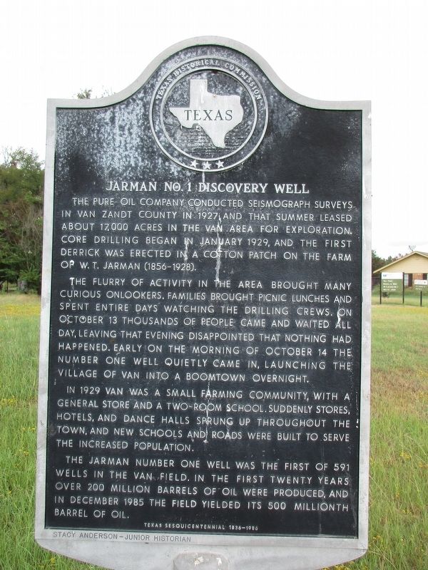
Jarman No. 1 Discovery Well
Photographed by Jeff Leichsenring, September 1, 2024
1. Jarman No. 1 Discovery Well Marker
The flurry of activity in the area brought many curious onlookers. Families brought picnic lunches and spent entire days watching the drilling crews. On October 13 thousands of people came and waited all day, leaving that evening disappointed that nothing had happened. Early on the morning of October 14 the Number One well quietly came in, launching the village of Van into a boomtown overnight.
In 1929 Van was a small farming community, with a general store and a two-room school. Suddenly stores, hotels, and dance halls sprung up throughout the town, and new schools and roads were built to serve the increased population.
The Jarman Number One Well was the first of 591 wells in the Van field. In the first twenty years over 200 million barrels of oil were produced, and in December 1985 the field yielded its 500 millionth barrel of oil.
Erected 1986
this page online
Topics. This historical marker is listed in this topic list: Industry & Commerce.
Location. 32° 31.851′ N, 95° 38.434′ W. Marker is in Van, Texas, in Van Zandt County. It is on North Walnut Street near West Ohio Street, on the left when traveling north. Touch for map. Marker is at or near this postal address: 589 N Walnut St, Van TX 75790, United States of America. Touch for directions.

Regionally, this marker is in the American South and in the Piney Woods. Globally, it is in North America, a Gulf of Mexico state, the Western Hemisphere, the Western World, and the Anglosphere. Historically, it finds itself in what was once New Spain, the Republic of Texas, one of the Confederate States of America, and the Antebellum South.
Other nearby markers. At least 8 other markers are within 3 miles of this marker, measured as the crow flies: Van United Methodist Church (approx. 0.4 miles away); Swindall School (approx. 0.4 miles away); Van (approx. 0.4 miles away); C.S. Nicks (approx. half a mile away); Van School, 1929-1947
Photographed by Jeff Leichsenring, September 1, 2024
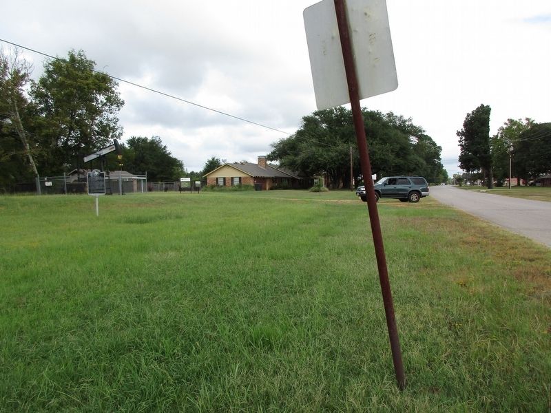
2. Jarman No. 1 Discovery Well Marker
Photographed by Jeff Leichsenring, September 1, 2024
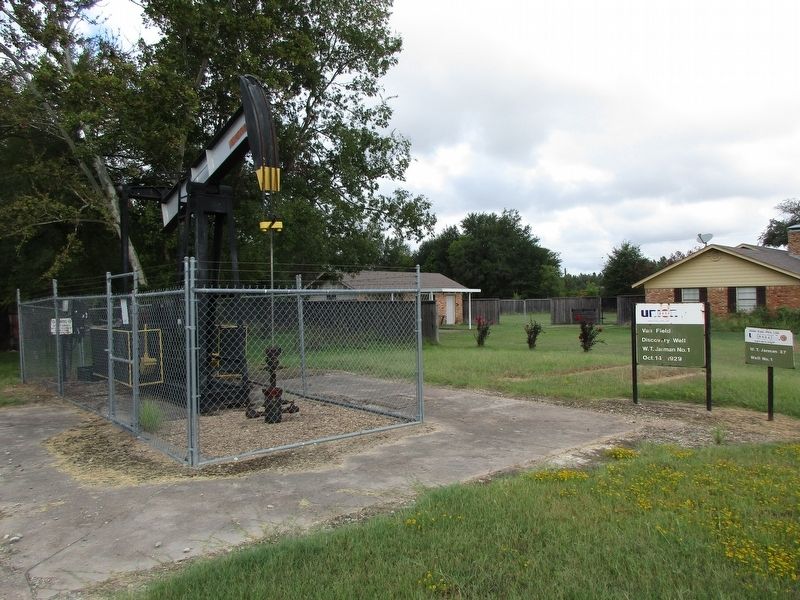
3. Jarman No. 1 Discovery Well
Credits. This page was last revised on September 4, 2024. It was originally submitted on September 3, 2024, by Jeff Leichsenring of Garland, Texas. This page has been viewed 446 times since then and 60 times this year. Photos: 1, 2, 3. submitted on September 3, 2024, by Jeff Leichsenring of Garland, Texas. • James Hulse was the editor who published this page.
