Near Harding-Birch Lakes in Southeast Fairbanks Census Area, Alaska — Northwest (North America)
Gold in the Tenderfoot
Gold Rush Centennial
Photographed by William Fischer, Jr., August 16, 2024
1. Gold in the Tenderfoot Marker
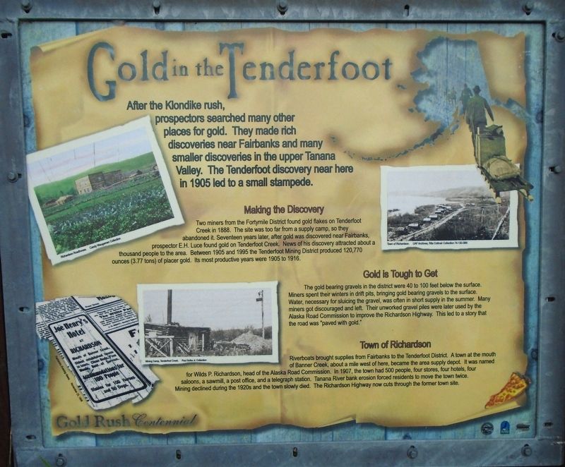
After the Klondike rush, prospectors searched many other places for gold. They made rich discoveries near Fairbanks and many smaller discoveries in the upper Tanana Valley. The Tenderfoot discovery near here in 1905 led to a small stampede.
Making the Discovery
Two miners from the Fortymile District found gold flakes on Tenderfoot Creek in 1888. The site was too far from a supply camp, so they abandoned it. Seventeen years later, after gold was discovered near Fairbanks, prospector E.H. Luce found gold on Tenderfoot Creek. News of his discovery attracted about a thousand people to the area. Between 1905 and 1995 the Tenderfoot Mining District produced 120,770 ounces (3.77 tons) of placer gold. Its most productive years were 1905 to 1916.
Gold is Tough to Get
The gold bearing gravels in the district were 40 to 100 feet below the surface. Miners spent their winters in drift pits, bringing gold bearing gravels to the surface. Water, necessary for sluicing the gravel, was often in short supply in the summer. Many miners got discouraged and left. Their unworked gravel piles were later used by the Alaska Road Commission
this page online
Town of Richardson
Riverboats brought supplies from Fairbanks to the Tenderfoot District. A town at the mouth of Banner Creek, about a mile west of here, became the area supply depot. It was named for Wilds P. Richardson, head of the Alaska Road Commission. In 1907, the town had 500 people, four stores, four hotels, four saloons, a sawmill, a post office, and a telegraph station. Tanana River bank erosion forced residents to move the town twice. Mining declined during the 1920s and the town slowly died. The Richardson Highway now cuts through the former town site.
[Photo captions, clockwise from top left, read]
• Richardson Roadhouse.
• Town of Richardson.
• Mining Camp, Tenderfoot Creek.
• Joe Henry's Hotel [ad] in Fairbanks Evening News, November 23, 1906
Topics. This historical marker is listed in these topic lists: Exploration • Industry & Commerce • Settlements & Settlers. A significant historical year for this entry is 1905.
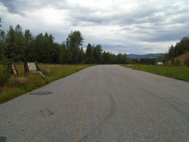
Location. 64° 16.816′ N, 146° 18.828′ W. Marker is near Harding-Birch Lakes in Southeast Fairbanks
Photographed by William Fischer, Jr., August 16, 2024
2. Gold in the Tenderfoot Marker

Regionally, this marker is in the Athabascan Region and in Interior Alaska. It is also on the American Pacific Coast. Globally, it is in North America, on the Pacific Rim, in the Western Hemisphere, in the Western World, and in the Anglosphere. Historically, it finds itself in what was once the Russian Empire.
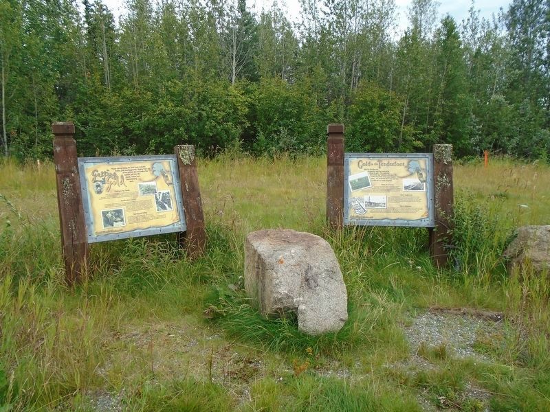
Other nearby markers. At least one other marker is within walking distance of this marker: Getting the Gold (here, next to this marker).
Also see . . . History of Mining in Alaska (Alaska Miners Association). (Submitted on September 3, 2024, by William Fischer, Jr. of Reynoldsburg, Ohio.)
Photographed by William Fischer, Jr., August 16, 2024
3. Gold in the Tenderfoot Marker
Credits. This page was last revised on September 3, 2024. It was originally submitted on September 3, 2024, by William Fischer, Jr. of Reynoldsburg, Ohio. This page has been viewed 338 times since then and 58 times this year. Photos: 1, 2, 3. submitted on September 3, 2024, by William Fischer, Jr. of Reynoldsburg, Ohio.
