Creagleville near Grand Saline in Van Zandt County, Texas — The American South (West South Central)
Mercer's Colony Eastern Boundary
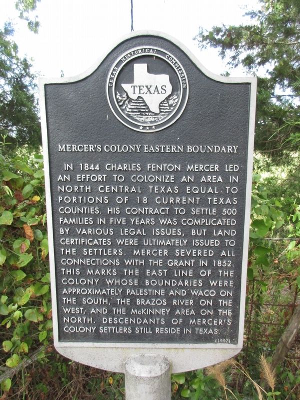
Photographed by Jeff Leichsenring, September 2, 2024
1. Mercer's Colony Eastern Boundary Marker
Erected 1997 by Texas Historical Commission. (Marker Number 11428.)
Topics. This historical marker is listed in this topic list: Settlements & Settlers.
Location. 32° 40.187′ N, 95° 45.614′ W. Marker is near Grand Saline, Texas, in Van Zandt County. It is in Creagleville. It is on County Road 1817 0.1 miles east of County Road 1816. Touch for map. Marker is in this post office area: Grand Saline TX 75140, United States of America. Touch for directions.

Regionally, this marker is in the American
this page online
Other nearby markers. At least 8 other markers are within 5 miles of this marker, measured as the crow flies: Benjamin Franklin Wheeler (about 500 feet away, measured in a direct line); Creagleville (approx. 0.3 miles away); Poletown and Rhodesburg (approx. 1.6 miles away); Wiley Hardeman Post (approx. 3 miles away); First Methodist Church of Grand Saline (approx. 3 miles away); Grand Saline, C.S.A. (approx. 3½ miles away); Jordans Saline (approx. 4.1 miles away); José Francisco Calahorra y Saenz (approx. 4½ miles away). Touch for a list and map of all markers in Grand Saline.
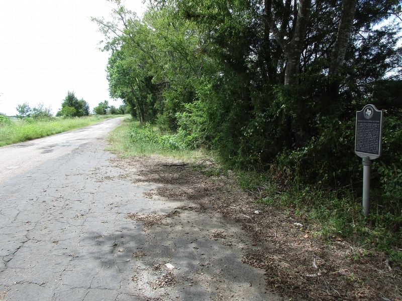
Photographed by Jeff Leichsenring, September 2, 2024
2. Mercer's Colony Eastern Boundary Marker
Credits. This page was last revised on September 5, 2024. It was originally submitted on September 3, 2024, by Jeff Leichsenring of Garland, Texas. This page has been viewed 195 times since then and 32 times this year. Photos: 1, 2. submitted on September 3, 2024, by Jeff Leichsenring of Garland, Texas. • James Hulse was the editor who published this page.
