Oakland near Grand Saline in Van Zandt County, Texas — The American South (West South Central)
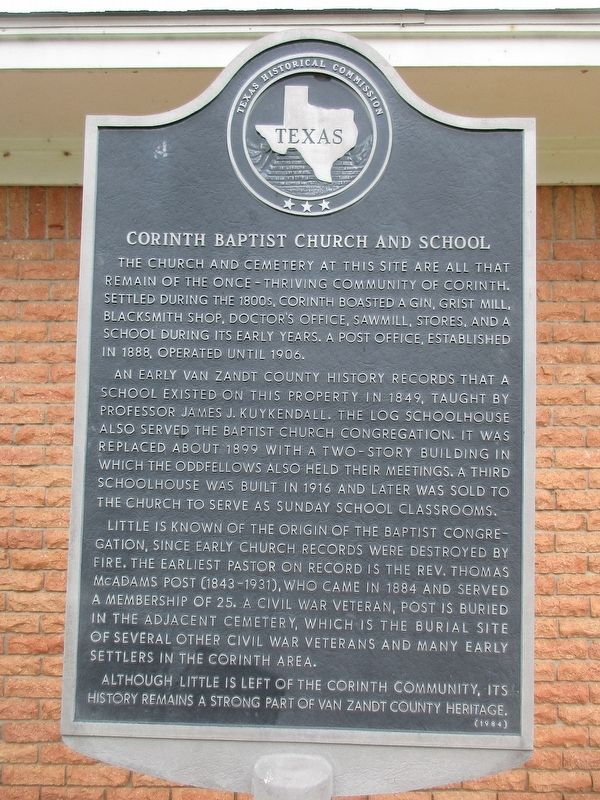
Corinth Baptist Church and School
Photographed by Jeff Leichsenring, September 1, 2024
1. Corinth Baptist Church and School Marker
An early Van Zandt County history records that a school existed on this property in 1849, taught by professor James J. Kuykendall. The log schoolhouse also served the Baptist church congregation. It was replaced about 1899 with a two-story building in which the Oddfellows also held their meetings. A third schoolhouse was built in 1916 and later was sold to the church to serve as Sunday School classrooms.
Little is known of the origin of the Baptist congregation, since early church records were destroyed by fire. The earliest pastor on record is the Rev. Thomas McAdams Post (1843-1931), who came in 1884 and served a membership of 25. A Civil War veteran, Post is buried in the adjacent cemetery, which is the burial site of several other Civil War veterans and many early settlers in the Corinth area.
Although little
this page online
Erected 1984 by Texas Historical Commission. (Marker Number 11389.)
Topics. This historical marker is listed in these topic lists: Education • Religion & Religious Structures.
Location. 32° 35.248′ N, 95° 43.358′ W. Marker is near Grand Saline, Texas, in Van Zandt County. It is in Oakland. It is at the intersection of Farm to Market Road 1255 and County Road 1621 on Road 1255. Touch for map. Marker is in this post office area: Grand Saline TX 75140, United States of America. Touch for directions.

Regionally, this marker is in the American South and in the Piney Woods. Globally, it is in North America, a Gulf of Mexico state, the Western Hemisphere, the Western World, and the Anglosphere. Historically, it finds itself in what was once New Spain, the Republic of Texas, one of the Confederate States of America, and the Antebellum South.
Other nearby markers. At least 8 other markers are within 6 miles of this marker, measured as the crow flies: Corinth Cemetery (within
Photographed by Jeff Leichsenring, September 1, 2024
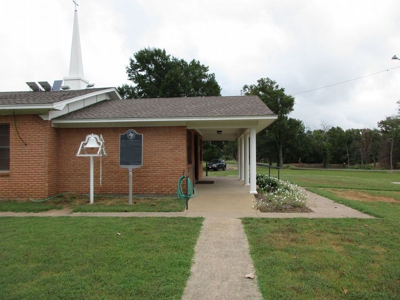
2. Corinth Baptist Church and School Marker
Credits. This page was last revised on September 5, 2024. It was originally submitted on September 3, 2024, by Jeff Leichsenring of Garland, Texas. This page has been viewed 145 times since then and 24 times this year. Photos: 1, 2. submitted on September 3, 2024, by Jeff Leichsenring of Garland, Texas. • James Hulse was the editor who published this page.
