Enoch in Iron County, Utah — The American Mountains (Southwest)
Johnson's Fort
| — | Enoch Trails | — |
Photographed by Jeremy Snow, September 3, 2024
1. Johnson's Fort Marker
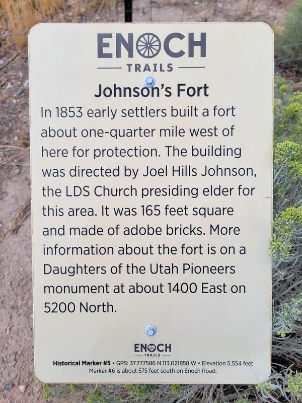
In 1853 early settlers built a fort about one-quarter mile west of here for protection. The building was directed by Joel Hills Johnson, the LDS Church presiding elder for this area. It was 165 feet square and made of adobe bricks. More information about the fort is on a Daughters of the Utah Pioneers monument at about 1400 East on 5200 North.
ENOCH TRAILS
Historical Marker #5 GPS: 37.777586 N 113.021858 W Elevation 5,554 feet
Marker #6 is about 575 feet south on Enoch Road.
Erected by Enoch City - Enoch Trails. (Marker Number 5.)
Topics and series. This historical marker is listed in these topic lists: Forts and Castles • Settlements & Settlers. In addition, it is included in the Enoch Trails series list. A significant historical year for this entry is 1853.
Location. 37° 46.656′ N, 113° 1.312′ W. Marker is in Enoch, Utah, in Iron County. It is on Enoch Road, on the right when traveling south. Touch for map. Marker is at or near this postal address: 5475 Enoch Road, Cedar City UT 84721, United States of America. Touch for directions.

Regionally, this marker is in Utah’s Color Country. It is also in
this page online
Other nearby markers. At least 8 other markers are within walking distance of this marker: Enoch City Logo (within shouting distance of this marker); Johnson's Spring (within shouting distance of this marker); Jones Iron Works Park (about 400 feet away, measured in a direct line); Old Log Schoolhouse (about 400 feet away); The Jones Family (about 600 feet away); Samuel Bell Home (approx. 0.2 miles away); Enoch Ward Chapel (approx. 0.3 miles away); Mercantile Building (approx. 0.4 miles away). Touch for a list and map of all markers in Enoch.
Related marker. Click here for another marker that is related to this marker.

Photographed by Jeremy Snow, September 3, 2024
2. Johnson's Fort Marker
Credits. This page was last revised on September 4, 2024. It was originally submitted on September 3, 2024, by Jeremy Snow of Cedar City, Utah. This page has been viewed 227 times since then and 59 times this year. Photos: 1, 2. submitted on September 3, 2024, by Jeremy Snow of Cedar City, Utah. • Andrew Ruppenstein was the editor who published this page.
