Bahnhofstrasse in Zürich, Switzerland — Central Europe (the Alps)
St. Anna-Kapelle
⎯⎯⎯
St. Anna Chapel
Photographed by Andrew Ruppenstein, August 18, 2024
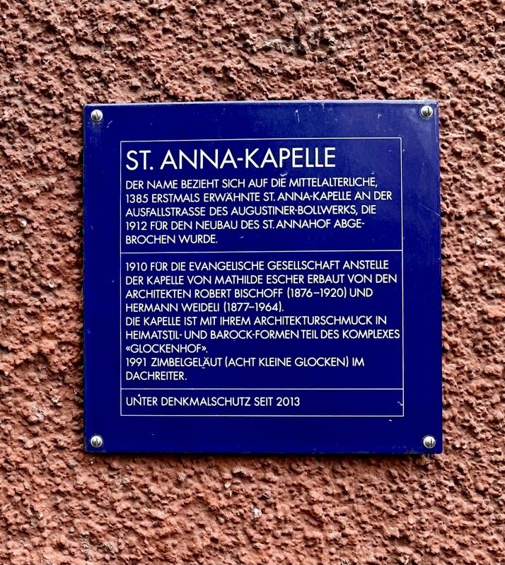
1. St. Anna-Kapelle / St. Anna Chapel Marker

Der Name bezieht sich auf die mittelalterliche, 1385 erstmals erwähnte St. Anna-Kapelle an der Ausfallstrasse des Augustiner-Bollwerks, die 1912 für den Neubau des St. Annahof abgebrochen wurde.
1910 für die evangelische Gesellschaft Anstelle der Kapelle von Mathilde Escher erbaut von den Architekten Robert Bischoff (1876-1920) und Hermann Weideli (1877-1964). Die Kapelle ist mit ihrem Architekturschmuck in Heimatstil- und Barock-formen Teil des Komplexes «Glockenhof».
1991 zimbelgeläut (acht kleine Glocken) im Dachreiter.
Unter Denkmalschutz seit 2013
The name refers to the medieval St. Anna Chapel, first mentioned in 1385, on the arterial road of the Augustinian bastion, which was demolished in 1912 to make way for the new St. Annahof.
Built in 1910 for the Protestant Society in place of Mathilde Escher's chapel by the architects Robert Bischoff (1876-1920) and Hermann Weideli (1877-1964). The chapel, with its architectural decoration in local style and baroque forms, is part of the "Glockenhof" complex.
In 1991, cymbals (eight small bells) were hung in the roof
this page online
Listed as a historical monument since 2013
Topics and series. This historical marker is listed in this topic list: Religion & Religious Structures. In addition, it is included in the Zurich Blue Square series list. A significant historical year for this entry is 1385.
Location. 47° 22.371′ N, 8° 32.208′ E. Marker is in Zürich. It is in Bahnhofstrasse. It is on Sankt Annagasse, on the left when traveling north. Touch for map. Marker is at or near this postal address: St Annagasse 11, Zürich 8001, Switzerland. Touch for directions.

Regionally, it is in Europe, Central Europe, the Schengen Area, Western Europe, and the Western World. Historically, it finds itself in what was once the Roman Empire and specifically also the Holy Roman Empire.
Other nearby markers. At least 8 other markers are within walking distance of this marker: Mathilde Escher (1808-1875) (here, next to this marker); Kezinstürli (about 180 meters away, measured in a direct line); Erzberg (about 180 meters away); Zur Trülle (about 180 meters away); St. Laurenz (about 180 meters away); Zur Hoffnung (about 180 meters away); Turteltäubli (about 180 meters
Photographed by Andrew Ruppenstein, August 18, 2024
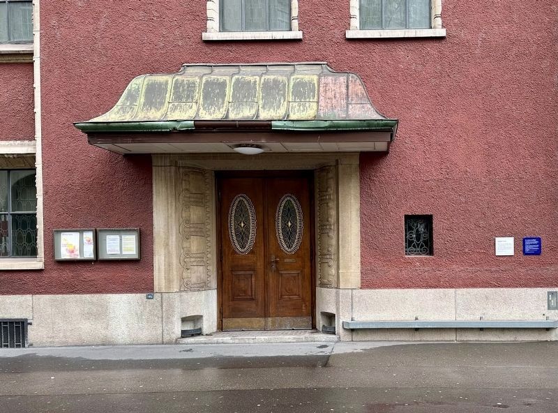
2. St. Anna-Kapelle / St. Anna Chapel Marker - wide view
Photographed by Andrew Ruppenstein, August 18, 2024
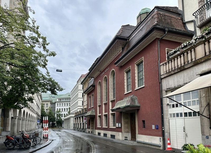
3. St. Anna-Kapelle / St. Anna Chapel and Marker
Credits. This page was last revised on September 4, 2024. It was originally submitted on September 4, 2024, by Andrew Ruppenstein of Lamorinda, California. This page has been viewed 162 times since then and 46 times this year. Photos: 1, 2, 3. submitted on September 4, 2024, by Andrew Ruppenstein of Lamorinda, California.
