Enoch in Iron County, Utah — The American Mountains (Southwest)
Anderson Sawmill
| — | Enoch Trails | — |

Photographed by Jeremy Snow, September 3, 2024
1. Anderson Sawmill Marker
The "Whitey" and Haken Anderson families established a sawmill just west of here in 1949. It operated for over five years. The trees were harvested on Cedar Mountain in the summer, and the sawmill ran during the winter, creating lumber for many houses in the area. When this modern subdivision to the south and west was later developed, the street names were created from various sawmill terms.
ENOCH TRAILS
Historical Marker #9 • GPS: 37.766828 N 113.024780 W • Elevation 5,599 feet
Marker #10 is about 634 feet south on Enoch Road.
Erected by Enoch City - Enoch Trails. (Marker Number 9.)
Topics and series. This historical marker is listed in this topic list: Industry & Commerce. In addition, it is included in the Enoch Trails series list. A significant historical year for this entry is 1949.
Location. 37° 46.008′ N, 113° 1.488′ W. Marker is in Enoch, Utah, in Iron County. It is on North Enoch Road, on the right when traveling south. Touch for map. Marker is at or near this postal address: 4925 N Enoch Road, Cedar City UT 84721, United States of America. Touch for directions.

Regionally, this marker is in Utah’s
this page online
Other nearby markers. At least 8 other markers are within walking distance of this marker: Jones Memorial Park (about 600 feet away, measured in a direct line); Enoch City Cemetery (approx. ¼ mile away); St. Joseph's Meadow (approx. 0.3 miles away); Mercantile Building (approx. 0.4 miles away); Enoch Schoolhouse and Tithing Office (approx. 0.4 miles away); Tithing Office (approx. half a mile away); Livestock Company Co-op (approx. half a mile away); Enoch Ward Chapel (approx. half a mile away). Touch for a list and map of all markers in Enoch.
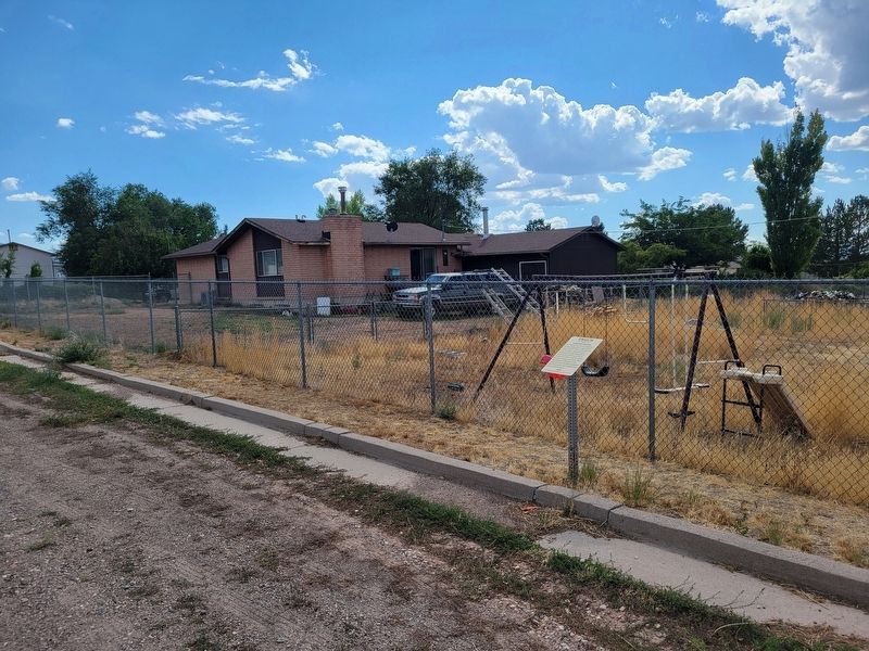
Photographed by Jeremy Snow, September 3, 2024
2. Anderson Sawmill Marker
Credits. This page was last revised on September 5, 2024. It was originally submitted on September 4, 2024, by Jeremy Snow of Cedar City, Utah. This page has been viewed 135 times since then and 23 times this year. Photos: 1, 2. submitted on September 4, 2024, by Jeremy Snow of Cedar City, Utah. • Andrew Ruppenstein was the editor who published this page.
