Enoch in Iron County, Utah — The American Mountains (Southwest)
Armstong Adobe House
| — | Enoch Trails | — |
Photographed by Jeremy Snow, September 3, 2024
1. Armstong Adobe House Marker
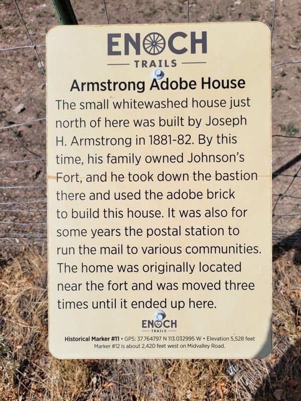
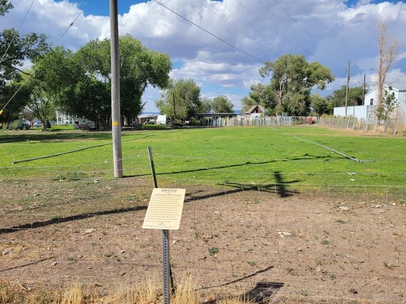
The small whitewashed house just north of here was built by Joseph H. Armstrong in 1881-82. By this time, his family owned Johnson's Fort, and he took down the bastion there and used the adobe brick to build this house. It was also for some years the postal station to run the mail to various communities. The home was originally located near the fort and was moved three times until it ended up here.
ENOCH TRAILS
Historical Marker #11 • GPS: 37.764797 N 113.032995 W Elevation 5,528 feet
Marker #12 is about 2,420 feet west on Midvalley Road.
Erected by Enoch City - Enoch Trails. (Marker Number 11.)
Topics and series. This historical marker is listed in this topic list: Settlements & Settlers. In addition, it is included in the Enoch Trails series list.
Location. 37° 45.889′ N, 113° 1.986′ W. Marker is in Enoch, Utah, in Iron County. It is on Midvalley Road, on the right when traveling west. Touch for map. Marker is at or near this postal address: 4785 Midvalley Road, Cedar City UT 84721, United States of America. Touch for directions.

Regionally, this marker is
this page online
Other nearby markers. At least 8 other markers are within walking distance of this marker: Enoch City Cemetery (approx. 0.4 miles away); The "Valley" (approx. half a mile away); Jones Memorial Park (approx. half a mile away); Anderson Sawmill (approx. half a mile away); Johnson's Fort (approx. half a mile away); St. Joseph's Meadow (approx. half a mile away); Old School Library (approx. half a mile away); Old Enoch Schools (approx. 0.6 miles away). Touch for a list and map of all markers in Enoch.
Photographed by Jeremy Snow, September 3, 2024
2. Armstong Adobe House Marker
Credits. This page was last revised on September 5, 2024. It was originally submitted on September 4, 2024, by Jeremy Snow of Cedar City, Utah. This page has been viewed 168 times since then and 26 times this year. Photos: 1, 2. submitted on September 4, 2024, by Jeremy Snow of Cedar City, Utah. • Andrew Ruppenstein was the editor who published this page.
