Enoch in Iron County, Utah — The American Mountains (Southwest)
The "Valley"
| — | Enoch Trails | — |
Photographed by Jeremy Snow, September 3, 2024
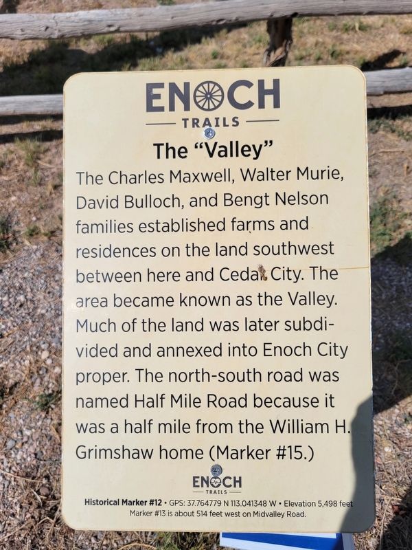
1. The "Valley" Marker
The Charles Maxwell, Walter Murie, David Bulloch, and Bengt Nelson families established farms and residences on the land southwest between here and Cedar City. The area became known as the Valley. Much of the land was later subdivided and annexed into Enoch City proper. The north-south road was named Half Mile Road because it was a half mile from the William H. Grimshaw home (Marker #15.)
ENOCH TRAILS
Historical Marker # 12 GPS: 37.764779 N 113.041348 W Elevation 5,498 feet
Marker #13 is about 514 feet west on Midvalley Road.
Erected by Enoch City - Enoch Trails. (Marker Number 12.)
Topics and series. This historical marker is listed in this topic list: Settlements & Settlers. In addition, it is included in the Enoch Trails series list.
Location. 37° 45.889′ N, 113° 2.481′ W. Marker is in Enoch, Utah, in Iron County. It is on Midvalley Road, on the right when traveling west. Touch for map. Marker is at or near this postal address: 4792 Midvalley Road, Cedar City UT 84721, United States of America. Touch for directions.

Regionally, this marker is in Utah’s
this page online
Other nearby markers. At least 8 other markers are within walking distance of this marker: Old School Library (about 500 feet away, measured in a direct line); First Wagon Over the Old Spanish Trail (about 700 feet away); Old Enoch Schools (about 700 feet away); Armstong Adobe House (approx. half a mile away); Pipe Rings Fence (approx. half a mile away); Barbed Wire Telephone Line (approx. half a mile away); Grimshaw/Hunter Family (approx. half a mile away); Paiute Tribe Powwows (approx. 0.6 miles away). Touch for a list and map of all markers in Enoch.

Photographed by Jeremy Snow, September 3, 2024
2. The "Valley" Marker
Credits. This page was last revised on September 5, 2024. It was originally submitted on September 4, 2024, by Jeremy Snow of Cedar City, Utah. This page has been viewed 155 times since then and 20 times this year. Photos: 1, 2. submitted on September 4, 2024, by Jeremy Snow of Cedar City, Utah. • Andrew Ruppenstein was the editor who published this page.
