Central in Denver in Denver County, Colorado — The American Mountains (Southwest)
First United Presbyterian Church
Photographed by Craig Baker, August 22, 2024
1. First United Presbyterian Church Marker
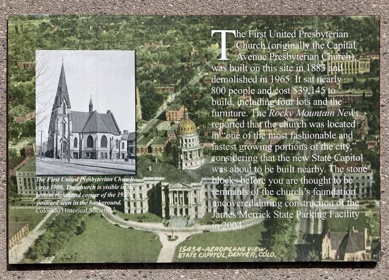
The First United Presbyterian Church (originally the Capital Avenue Presbyterian Church) was built on this site in 1883 and demolished in 1965. It sat nearly 800 people and cost $39,145 to build, including four lots and the furniture. The Rocky Mountain News reported that the church was located in "one of the most fashionable and fastest growing portions of the city," considering that the new State Capitol was about to be built nearby. The stone blocks before you are thought to be remnants of the church's foundation uncovered during construction of the James Merrick State Parking Facility in 2004.
photo caption:
The First United Presbyterian Church circa 1900. The church is visible in the bottom righthand corner of the 1920 postcard seen in the background.
Topics. This historical marker is listed in these topic lists: Architecture • Religion & Religious Structures. A significant historical year for this entry is 1883.
Location. 39° 44.244′ N, 104° 59.154′ W. Marker is in Denver, Colorado, in Denver County. It is in Central. It is on Lincoln Street north of 13th Avenue, on the right when
this page online

Regionally, this marker is in the Front Range. It is also in the American Mountain West. Globally, it is in North America, the Rocky Mountains, the Western Hemisphere, the Western World, and the Anglosphere. Historically, it finds itself in what was once the Louisiana Purchase.
Other nearby markers. At least 8 other markers are within walking distance of this marker: General Rose Monument (about 500 feet away, measured in a direct line); Logan’s Memorial Day Order (about 600 feet away); Irving Hale (about 600 feet away); Alfred Dach (about 600 feet away); Liberty Bell Replica (about 600 feet away); Sand Creek Massacre (about 700 feet away); Colorado Soldier's Monument (about 700 feet away); Colorado State Veterans Memorial (about 700 feet away). Touch for a list and map of all markers in Denver.
Photographed by Craig Baker, August 22, 2024
2. First United Presbyterian Church Marker
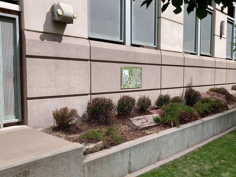
Church remnants are in the landscaping.
Photographed by Craig Baker
3. First United Presbyterian Church Marker

Photographed by Craig Baker, August 22, 2024
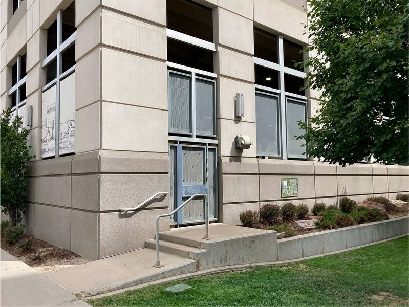
4. Window Displays with Historical Photos
Credits. This page was last revised on October 30, 2024. It was originally submitted on September 5, 2024, by Craig Baker of Sylmar, California. This page has been viewed 184 times since then and 16 times this year. Photos: 1, 2, 3, 4. submitted on September 5, 2024, by Craig Baker of Sylmar, California.
