Near Dillon in Beaverhead County, Montana — The American West (Mountains)
"…we called them the rattle snake clifts"
Lewis & Clark to the Headwaters
Photographed by Barry Swackhamer, June 28, 2024
1. "...we called them the rattle snake clifs" Marker
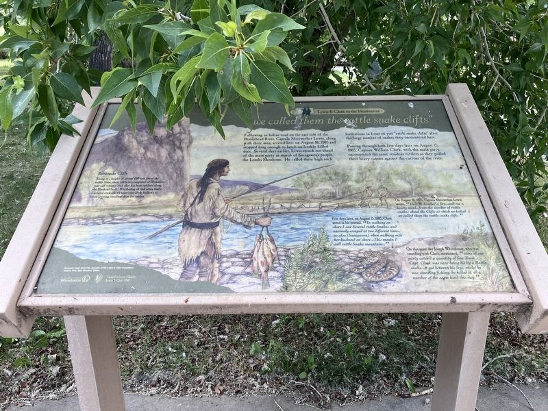
Following an Indian road on the east side of the Beaverhead River, Captain Meriwether Lewis, along with three men, arrived here on August 10, 1805 and stopped long enough to lunch on freshly killed deer. Several days earlier, Lewis struck out ahead of the main party in search of Sacagawea's people, the Lemhi Shoshoni. He called these high rock formations in front of you "rattle snake clifts" after the large number of snakes they encountered here.
Passing through here five days later on August 15, 1805, Captain William Clark, with the main party, encountered the same resident rattles as they pulled their heavy canoes against the current of the river.
Rattlesnake Cliffs
Rising to a height of around 600 feet above the valley floor, these cliffs are composed of 50 million year-old volcanic rock that has been uplifted along the Blacktail fault. Weathering of this often badly fractured rock allows numerous little hollows to form creating excellent dens for snakes.
On August 10, Captain Meriwether Lewis wrote, "Here we kindled a fire....and eat a haisty meal...from the number of rattle snakes about the Clifts at which we halted we called them the rattle snake clifts."
this page online
Five days later on August 15, 1805, Clark noted in his journal , " In walking on shore I saw Several rattle Snakes and narrowly escaped at two different times, as also (Sacagawea) when walking with her husband on shore... This moutn I called rattle Snake mountain..."
On this same day Joseph Whitehouse, who was traveling with Clark mentioned, "some of our party catch'd a quantity of fine Trout...Capt. Clark was near being bit by a Rattle snake...it got between his legs, whilst he was standing fishing, he killed it, & a number of the same kind this day."
Topics and series. This historical marker is listed in these topic lists: Animals • Exploration. In addition, it is included in the Lewis & Clark Expedition series list. A significant historical date for this entry is August 10, 1805.
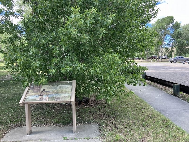
Location. 45° 7.755′ N, 112° 44.478′ W. Marker is near Dillon, Montana, in Beaverhead County. It is on Interstate 15 Frontage Road near Old Stage Road, on the right when traveling north. Touch for map. Marker is at or near this postal address: 4325 Old Stage Road, Dillon MT 59725, United States of America. Touch for directions.

Regionally, this marker
Photographed by Barry Swackhamer, June 28, 2024
2. "...we called them the rattle snake clifs" Marker
Other nearby markers. At least 8 other markers are within 8 miles of this marker, measured as the crow flies: Entering the Beaverhead River Canyon (here, next to this marker); Beaverhead Canyon Gateway (within shouting distance of this marker); Old Trail to the Gold Diggin's (approx. 0.4 miles away); Bannack (approx. 0.4 miles away); Martin Barrett House (approx. 7½ miles away); U.S. Post Office — Dillon Main (approx. 7.8 miles away); Medicine Tree (approx. 7.8 miles away); Hotel Andrus (approx. 7.9 miles away). Touch for a list and map of all markers in Dillon.
Credits. This page was last revised on August 10, 2026. It was originally submitted on September 5, 2024, by Barry Swackhamer of Brentwood, California. This page has been viewed 3,224 times since then and 648 times this year. Photos: 1, 2. submitted on September 5, 2024, by Barry Swackhamer of Brentwood, California.
