
Fort Snelling in Hennepin County, Minnesota — The American Midwest (Upper Plains)
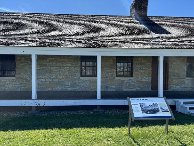
Officers’ Quarters
Original Structure (About 1822; Rebuilt in stone by 1846)

Photographed by Connor Olson, August 31, 2024
1. Officers’ Quarters Marker
Each apartment in this building housed families, or several single officers.
Officers' servants lived here, too. Before the Civil War, more than half were enslaved. Like the Commanding Officer's building, in 1903 the quarters were updated in the Spanish mission style. It gained a second story, yellow stucco, and a red slate roof.
As the post expanded, most officers with families moved to houses, outside the walls of the old fort.
Captions:
Original officers' quarters, 1958
The officers' quarters on Taylor Avenue, 1890s
Erected by Minnesota Historical Society.
Topics. This historical marker is listed in this topic list: Forts and Castles. A significant historical year for this entry is 1822.
Location. 44° 53.554′ N, 93° 10.81′ W. Marker is in Fort Snelling, Minnesota, in Hennepin County. It can be reached from Tower Avenue. Touch for map. Marker is at or near this postal address: 200 Tower Avenue, Minneapolis MN 55417, United States of America. Touch for directions.

Regionally, this marker is in the Twin Cities Metropolitan Area. It is also in the American Midwest, in the Corn Belt, and in the Great River
this page online
Other nearby markers. At least 8 other markers are within walking distance of this marker: Commanding Officer’s House (within shouting distance of this marker); Enlisted Barracks (within shouting distance of this marker); The Hospital (within shouting distance of this marker); Working Women of Fort Snelling (about 400 feet away, measured in a direct line); The Schoolhouse (about 400 feet away); The Sutler Store (about 400 feet away); Gatehouse and Guardhouse (about 400 feet away); River Valleys Take Shape / A Strategic Advantage / Making a Safe Landing (about 400 feet away). Touch for a list and map of all markers in Fort Snelling.
Photographed by Connor Olson, August 31, 2024
2. Officers’ Quarters Marker
Credits. This page was last revised on September 16, 2024. It was originally submitted on September 5, 2024, by Connor Olson of Menomonee Falls, Wisconsin. This page has been viewed 155 times since then and 17 times this year. Photos: 1, 2. submitted on September 5, 2024, by Connor Olson of Menomonee Falls, Wisconsin. • J. Makali Bruton was the editor who published this page.
