Lancaster in Lancaster County, South Carolina — The American South (South Atlantic)
Kilburnie
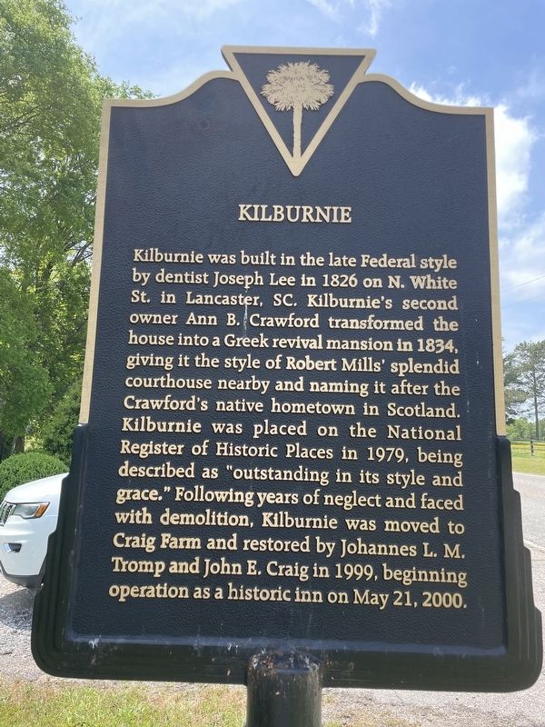
Photographed by Ronald Patton, April 29, 2023
1. Kilburnie Marker
Topics. This historical marker is listed in this topic list: Notable Buildings. A significant historical year for this entry is 1826.
Location. 34° 45.411′ N, 80° 46.044′ W. Marker is in Lancaster, South Carolina, in Lancaster County. It is on Craig Farm Road near County Road S29-833, on the right when traveling north. Touch for map. Marker is at or near this postal address: 1824 Craig Farm Rd, Lancaster SC 29720, United States of America. Touch for directions.

Regionally,
this page online
Other nearby markers. At least 8 other markers are within 3 miles of this marker, measured as the crow flies: A different marker also named Kilburnie (within shouting distance of this marker); Craig House (about 300 feet away, measured in a direct line); Barr's Tavern Site (approx. 1.2 miles away); Clinton Memorial Cemetery / Isom C. Clinton (approx. 2.2 miles away); Lancaster Normal and Industrial Institute (approx. 2.3 miles away); The Courthouse Lancaster County / John Simpson (approx. 2½ miles away); Lancaster County Confederate Monument (approx. 2½ miles away); Thomas H Davis (approx. 2.6 miles away). Touch for a list and map of all markers in Lancaster.
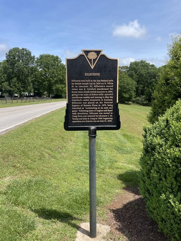
Photographed by Ronald Patton, April 29, 2023
2. Kilburnie Marker
Credits. This page was last revised on September 8, 2024. It was originally submitted on September 7, 2024, by Ronald Patton of Lancaster, South Carolina. This page has been viewed 141 times since then and 18 times this year. Photos: 1, 2. submitted on September 7, 2024, by Ronald Patton of Lancaster, South Carolina. • Bernard Fisher was the editor who published this page.
