Melvin Hill in Phelps in Ontario County, New York — The American Northeast (Mid-Atlantic)
Melvin Hill

Photographed by James Turcotte, May 17, 2024
1. Melvin Hill Marker
Taking an Indian trail west out of Oaks Corners in 1791, Jonathan Melvin arrived at the top of this hill and four years later established a prosperous 800-acre farm. Within a few years thereafter, with his own funds, he erected a school and a church. By the middle of the 1800s, this crossroads community boasted the school and church, a barrel stave & shingle factory, blacksmith, cider mill, wagon shop, apple orchard and several maple sugar camps. The large boulder here marks the site of the Melvin Hill Baptist Church, constructed c. 1802 by Melvin at a cost of $1,000. The church was a focal point for Melvin Hill until several of its members left and helped to organize the Vienna Village (Phelps) Baptist Church Society in 1843.
This marker is dedicated in memory of Donald W. Tiffany Phelps Town Historian 1999-2015
Erected 2014 by Phelps Community Historical Society.
Topics. This historical marker is listed in these topic lists: Religion & Religious Structures • Settlements & Settlers. A significant historical year for this entry is 1791.
Location. 42° 55.159′ N, 77° 3.827′ W. Marker is in Phelps, New York,
this page online

Regionally, this marker is in Upstate New York, specifically in Western New York, in the Finger Lakes, and in the Rochester Metropolitan Area. It is also in the American Northeast and in the Mid-Atlantic. Globally, it is in North America, the Western Hemisphere, the Western World, and the Anglosphere. Historically, it finds itself in what was once the Haudenosaunee (Iroquois) Confederacy, New Netherland, and one of the original Thirteen Colonies.
Other nearby markers. At least 8 other markers are within 3 miles of this marker, measured as the crow flies: Melvin Hill Baptist Church (here, next to this marker); Whitney Cemetery Veterans Memorial (approx. 2.3 miles away); Site of the Red House Observatory (approx. 2.3 miles away); Town of Phelps (approx. 2.4 miles away); Redfield Common (approx. 2.4 miles away); Orleans (approx. 2½ miles away); a different
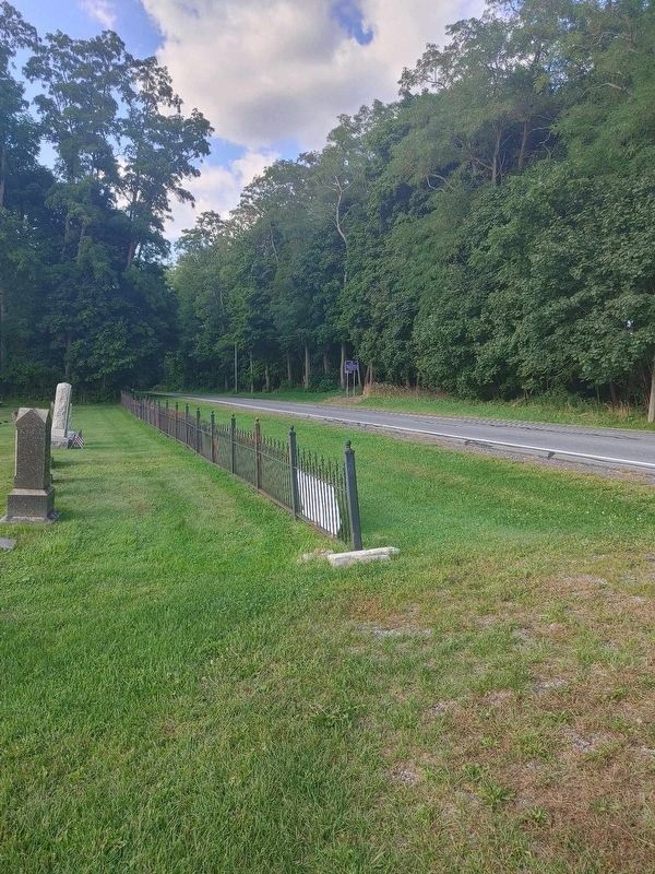
Photographed by James Turcotte, September 3, 2024
2. Melvin Hill Marker from the cemetery

Photographed by James Turcotte, May 17, 2024
3. Melvin Hill Cemetery
Credits. This page was last revised on September 11, 2024. It was originally submitted on May 17, 2024, by James Turcotte of Phelps, New York. This page has been viewed 570 times since then and 73 times this year. Last updated on September 11, 2024, by James Turcotte of Phelps, New York. Photos: 1. submitted on May 17, 2024, by James Turcotte of Phelps, New York. 2. submitted on September 3, 2024, by James Turcotte of Phelps, New York. 3. submitted on May 17, 2024, by James Turcotte of Phelps, New York. • Devry Becker Jones was the editor who published this page.
