Northborough in Worcester County, Massachusetts — The American Northeast (New England)
Cold Harbor Brook Bridge

Photographed by Conrad Ward, May 28, 2024
1. Cold Harbor Brook Bridge Marker
The original Cold Harbor Brook Bridge was built during the Civil War era, when the stone-slab construction technique was common for short, town highway bridges. This one was unique for its use of quarried granite instead of the usual fieldstone slabs. Presumably, since the bridge served as a gateway to the town center and connected it with the Meeting House, it was deemed important enough to warrant more expensive stone. The bridge was replaced in 2016, due to safety concerns.
The photo, taken from the bridge on May 30, 1896, depicts the Gibson Mill in the background, where combs were manufactured. The mill no longer exists.
Funded by the Community Preservation Act - 2019
Erected 2019 by Town of Northborough.
Topics. This historical marker is listed in these topic lists: Bridges & Viaducts • Industry & Commerce. A significant historical date for this entry is May 30, 1896.
Location. 42° 19.257′ N, 71° 38.674′ W. Marker is in Northborough, Massachusetts, in Worcester County. It is at the intersection of Church Street and Whitney Street, on the right when traveling north on Church Street. Touch for map. Marker is in this post office area: Northborough MA 01532, United States of America. Touch for directions.

Regionally, this marker is in the Quiet Corner and in Greater Worcester. It is also in the American Northeast and in New England. Globally, it is in North America, the Western Hemisphere, the Western World, and the Anglosphere. Historically, it finds itself in what was once one of the original Thirteen Colonies.
Other nearby markers. At least 8 other markers are within walking distance of this marker: PFC. Neil R. Ellsworth (within shouting distance of this marker); Northborough World War I Memorial (about 300 feet away, measured in a direct line); Northborough's First and Second Meeting House
this page online
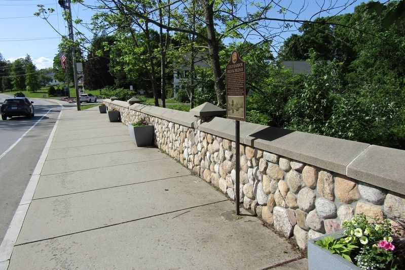
Photographed by Conrad Ward, May 28, 2024
2. Cold Harbor Brook Bridge Marker
Credits. This page was last revised on September 21, 2024. It was originally submitted on September 14, 2024, by Conrad Ward of Guilford, Connecticut. This page has been viewed 221 times since then and 35 times this year. Photos: 1, 2. submitted on September 14, 2024, by Conrad Ward of Guilford, Connecticut. • Michael Herrick was the editor who published this page.
