
Pilot Grove in Grayson County, Texas — The American South (West South Central)
Pilot Grove Baptist Church
Photographed by James Hulse, September 11, 2024
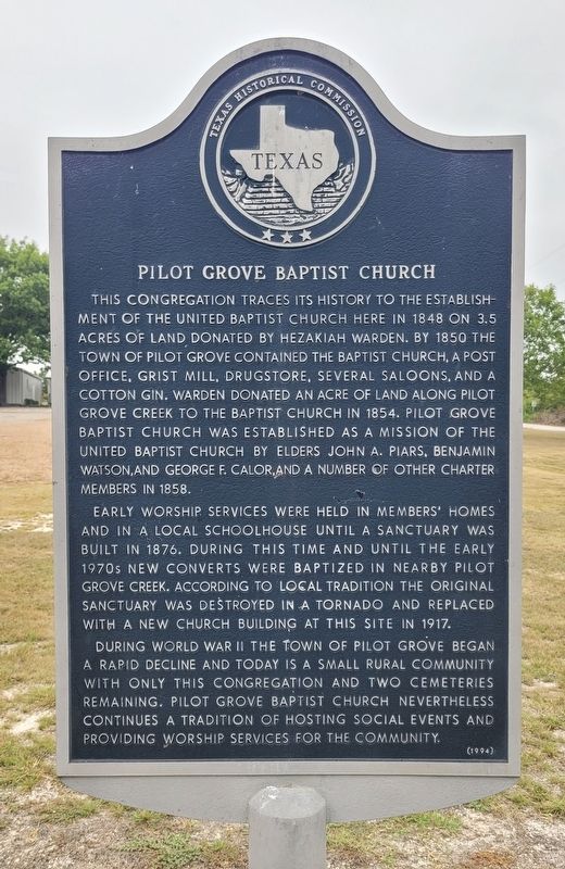
1. Pilot Grove Baptist Church Marker
Early worship services were held in members' homes and in a local schoolhouse until a sanctuary was built in 1876. During this time and until the early 1970s new converts were baptized in nearby Pilot Grove Creek. According to local tradition the original sanctuary was destroyed in a tornado and replaced with a new church building at this site in 1917.
During World War II the town of Pilot Grove began a rapid decline and today is a small rural community with only this congregation and two cemeteries remaining. Pilot Grove Baptist Church nevertheless continues a tradition of hosting social events and providing worship services for the community.
Erected 1994 by Texas Historical Commission. (Marker Number 7418.)
Topics. This historical marker is listed in this topic list: Religion & Religious Structures. A significant historical year for this entry is 1848.
Location. 33° 26.404′ N, 96° 25.488′ W. Marker is in Pilot Grove, Texas, in Grayson County. It is at the intersection of Pilot Grove Road and Studebaker Road, on the left when traveling north on Pilot Grove Road. The marker is located at the street in front of the church. Touch for map. Marker is at or near this postal address: 1266 Pilot Grove Rd, Whitewright TX 75491, United States of
this page online

Regionally, this marker is in the Prairies & Lakes Region. It is also in the American South. Globally, it is in North America, a Gulf of Mexico state, the Western Hemisphere, the Western World, and the Anglosphere. Historically, it finds itself in what was once New Spain, the Republic of Texas, one of the Confederate States of America, and the Antebellum South.
Other nearby markers. At least 8 other markers are within 5 miles of this marker, measured as the crow flies: Pilot Grove (about 800 feet away, measured in a direct line); Binion Homestead (approx. 1.4 miles away); Bethel Baptist Church (approx. 1.9 miles away); Old Town of Cannon (approx. 3.4 miles away); Cannon Cemetery (approx. 4.7 miles away); Vittitoe Cemetery (approx. 4.8 miles away); First National Bank of Trenton (approx. 5 miles away); Trenton (approx. 5 miles away).
Photographed by James Hulse, September 11, 2024
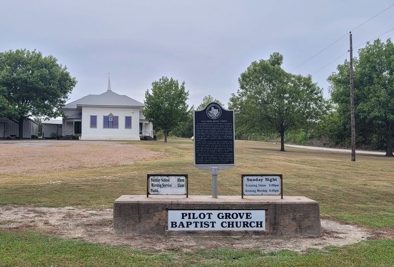
2. Pilot Grove Baptist Church and Marker
Photographed by James Hulse, September 11, 2024
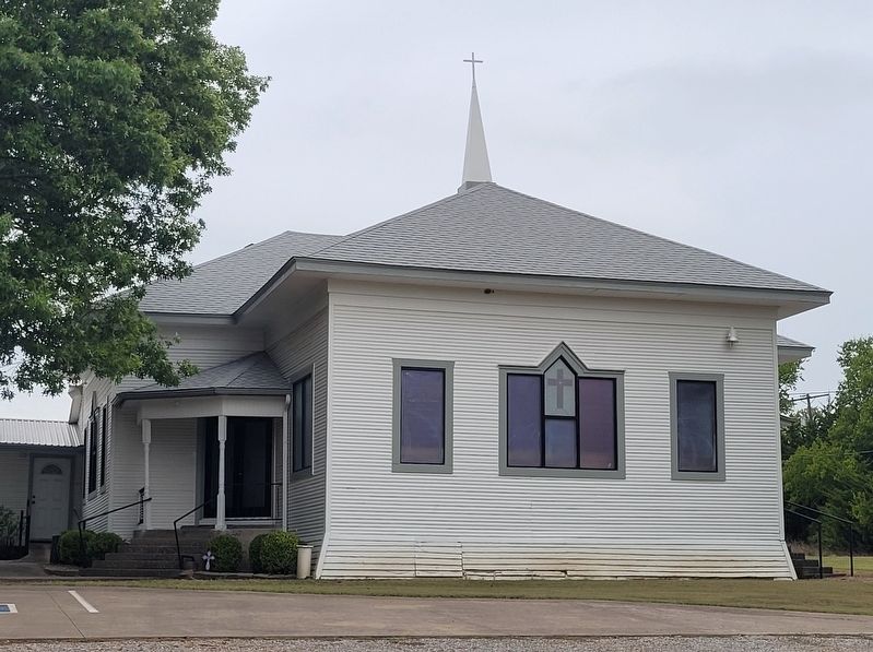
3. Pilot Grove Baptist Church
Credits. This page was last revised on September 17, 2024. It was originally submitted on September 16, 2024, by James Hulse of Medina, Texas. This page has been viewed 327 times since then and 75 times this year. Photos: 1, 2, 3. submitted on September 17, 2024, by James Hulse of Medina, Texas.
