Jamesville in Martin County, North Carolina — The American South (South Atlantic)
Jamesville Primitive Baptist Church
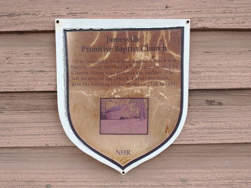
Photographed by Tom Bosse, September 14, 2024
1. Jamesville Primitive Baptist Church Marker
NHR
Topics. This historical marker is listed in this topic list: Religion & Religious Structures. A significant historical year for this entry is 1865.
Location. 35° 48.59′ N, 76° 53.83′ W. Marker is in Jamesville, North Carolina, in Martin County. It is on Andrews Street south of Washington Street, on the left when traveling south. Touch for map. Marker is at or near this postal address: 1260 Andrews St, Jamesville NC 27846, United States of America. Touch for directions.

Regionally, this marker is in North Carolina’s Coastal Plain. It is also in the American South and specifically in the Upper South. Globally, it is in North America, the Western Hemisphere, the Western World, and the Anglosphere. Historically, it finds itself in what was once the territory of the Mississippian Culture, one of the original Thirteen Colonies, one of the Confederate States of America, and the Antebellum
this page online
Other nearby markers. At least 8 other markers are within 9 miles of this marker, measured as the crow flies: A different marker also named Jamesville Primitive Baptist Church (a few steps from this marker); 85th Redoubt (approx. 8.2 miles away); Hoke's Final Line (approx. 8.6 miles away); Roanoke River (approx. 8.7 miles away); Camp Williamston (approx. 8.8 miles away); Roanoke River Lighthouse (approx. 8.9 miles away); Why Plymouth? (approx. 8.9 miles away); Plymouth Water Street Landing Park (approx. 8.9 miles away).
Related markers. Click here for a list of markers that are related to this marker.
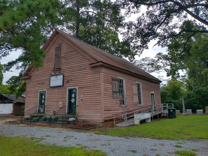
Photographed by Tom Bosse, September 14, 2024
2. Jamesville Primitive Baptist Church Marker
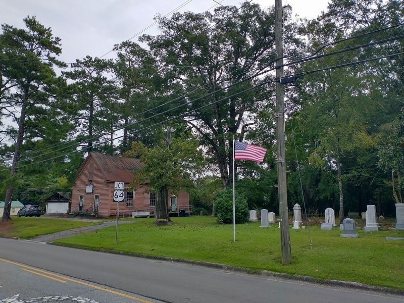
Photographed by Tom Bosse, September 14, 2024
3. Jamesville Primitive Baptist Church Marker
Credits. This page was last revised on September 17, 2024. It was originally submitted on September 16, 2024, by Tom Bosse of Jefferson City, Tennessee. This page has been viewed 120 times since then and 17 times this year. Photos: 1, 2, 3. submitted on September 16, 2024, by Tom Bosse of Jefferson City, Tennessee. • Bernard Fisher was the editor who published this page.
