Kerr Village in Oakville in Halton Region, Ontario — Central Canada (North America)
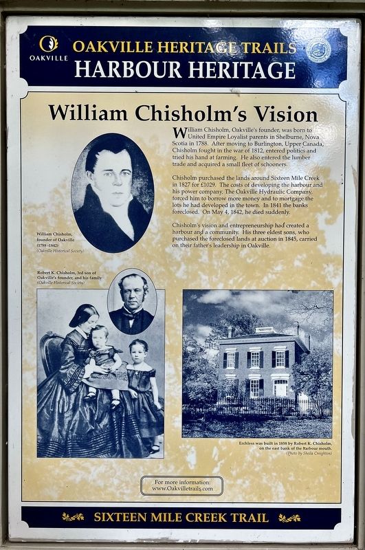
William Chisholm’s Vision
| — | Sixteen Mile Creek Trail | — |
Photographed by Tim Boyd, September 8, 2024
1. William Chisholm’s Vision Marker
Chisholm purchased the lands around Sixteen Mile Creek in 1827 for £1029. The costs of developing the harbour and his power company, The Oakville Hydraulic Company, forced him to borrow more money and to mortgage the lots he had developed in the town. In 1841 the banks foreclosed. On May 4, 1842, he died suddenly.
Chisholm's vision and entrepreneurship had created a harbour and a community. His three eldest sons, who purchased the foreclosed lands at auction in 1845, carried on their father's leadership in Oakville.
Topics. This historical marker is listed in these topic lists: Industry & Commerce • Settlements & Settlers. A significant historical year for this entry is 1827.
Location. 43° 26.537′ N, 79° 40.281′ W. Marker is in Oakville, Ontario, in Halton Region. It is in Kerr Village. It is on Francis Street, on the left when traveling north. The marker is in Shipyard Park, just north of the Lyon’s Log Cabin, approx. 200 metres from the park’s entrance at Forsythe and Francis Street. Touch for map. Marker is in this post office area: Oakville ON L6K L6K, Canada. Touch for directions.

Regionally, this marker is in Greater Toronto, specifically on the Golden Horseshoe, in the Hamilton-Halton-Brant Area, and specifically in the Toronto Metropolitan Area. It is also in Central Canada. Globally, it is in North America, on the Great Lakes, in the Western Hemisphere, in the Western World, and in the Anglosphere. Historically, it finds itself in what was once a British colony,
this page online
Other nearby markers. At least 8 other markers are within walking distance of this marker: Days of Sail and Steam (here, next to this marker); The Evolution of a Port Town (here, next to this marker); Oakville’s Yachting Heritage (here, next to this marker); Oakville: Resort Town on Lake Ontario (here, next to this marker); The Young Port Matures (here, next to this marker); Lyon’s Log Cabin (within shouting distance of this marker); The Old Lighthouse (about 150 meters away, measured in a direct line); Oakville’s Meeting Hall (about 240 meters away). Touch for a list and map of all markers in Oakville.
Photographed by Tim Boyd, September 8, 2024
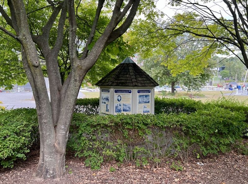
2. William Chisholm’s Vision Marker

courtesy Oakville Historical Society
3. William Chisholm’s Vision marker photo detail
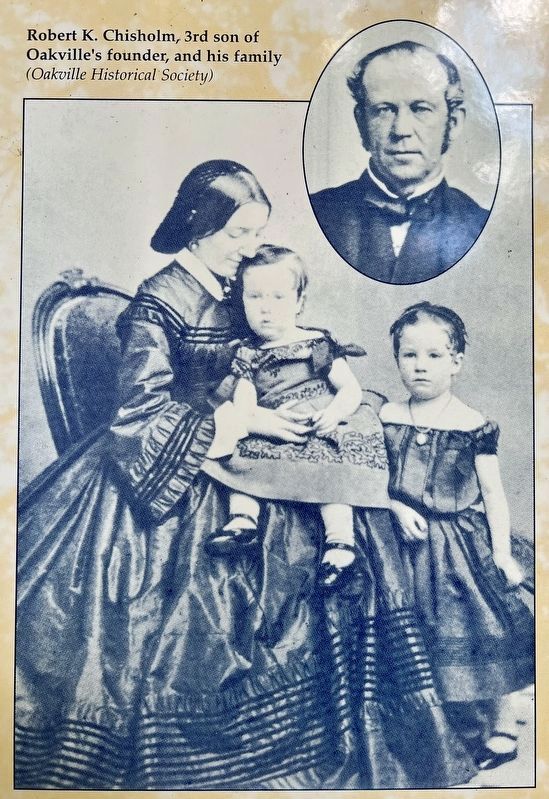
4. William Chisholm’s Vision marker photos detail

Photographed by Sheila Creighton
5. William Chisholm’s Vision marker photo detail
Photographed by Tim Boyd, September 8, 2024
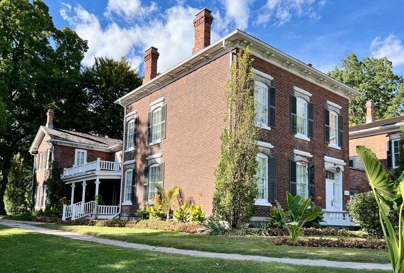
6. Erchless House, 2024
Credits. This page was last revised on September 21, 2024. It was originally submitted on September 18, 2024, by Tim Boyd of Hamilton, Ontario. This page has been viewed 174 times since then and 23 times this year. Photos: 1, 2, 3, 4, 5, 6. submitted on September 18, 2024, by Tim Boyd of Hamilton, Ontario. • Andrew Ruppenstein was the editor who published this page.
