Robersonville in Martin County, North Carolina — The American South (South Atlantic)
First Christian Church of Robersonville
Built 1913
| — | Historic Churches of Martin County | — |

Photographed by Tom Bosse, September 14, 2024
1. Historic Churches of Martin County Marker
The church was organized in the Masonic Hall and was the first church organized in Robersonville. The first building was a frame structure erected in 1877 on a lot given by Henry D. Roberson, It was a simple wood building with two front doors.
After revivals in 1912 and 1913, new members marked the beginning of a new era for the church and as a result the present structure was erected in 1913. The first communion set and an old Bible from the old church are still present in the newer structure.
First Christian Church is a one-story, brick, Romanesque Revival style building with a cross-gable façade dominated by two sets of three arched stained-glass windows capped with corbelled, blonde-brick
this page online
The church is still a vibrant part of the Robersonville community and is located at 126 South Main Street.
Erected by Martin County Tourism Development Authority.
Topics and series. This historical marker is listed in these topic lists: Architecture • Religion & Religious Structures. In addition, it is included in the Martin County Historic Church Trail series list. A significant historical date for this entry is October 13, 1877.
Location. 35° 49.387′ N, 77° 15.185′ W. Marker is in Robersonville, North Carolina, in Martin County. It is on South Main Street north of Second Street, on the right when traveling north. Touch for map. Marker is at or near this postal address: 126 South Main Street, Robersonville NC 27871, United States of America. Touch for directions.

Regionally, this marker is in North Carolina’s Coastal Plain. It is also in the American South and specifically in the Upper South. Globally, it is in North America, the Western
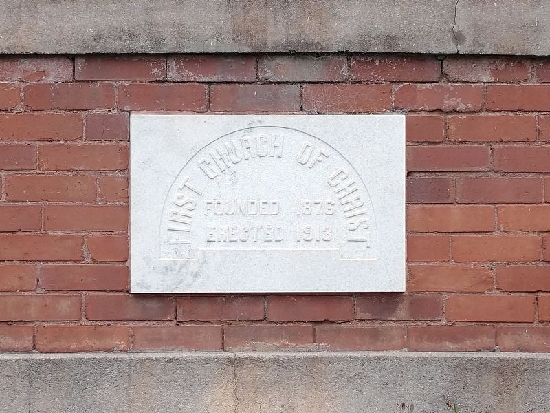
Photographed by Tom Bosse, September 14, 2024
2. First Christian Church of Robersonville
Other nearby markers. At least 8 other markers are within 8 miles of this marker, measured as the crow flies: A different marker also named Robersonville Primitive Baptist Church (approx. 0.3 miles away); Flat Swamp Church (approx. 2.2 miles away); W. C. Chance High School (approx. 3½ miles away); Everetts Christian Church (approx. 4.7 miles away); a different marker also named Everetts Christian Church (approx. 4.7 miles away); Spring Green Primitive Baptist Church (approx. 5.9 miles away); a different marker also named Spring Green Primitive Baptist Church (approx. 5.9 miles away); a different marker also named Fort Branch (approx. 7.8 miles away). Touch for a list and map of all markers in Robersonville.
Other markers no longer nearby. Robersonville Primitive Baptist Church (was approx. 0.3 miles away but has been confirmed missing); Fort Branch (was approx. 7.8 miles
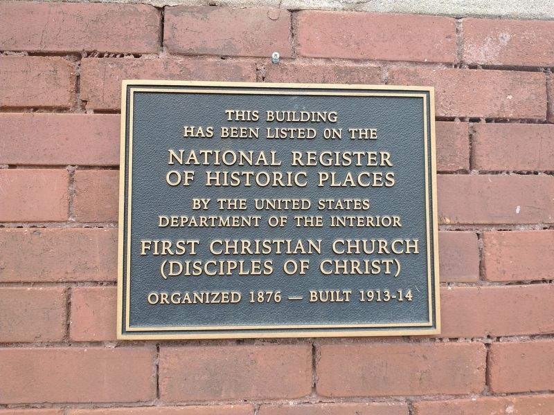
Photographed by Tom Bosse, September 14, 2024
3. First Christian Church of Robersonville
Also see . . . Martin County Historic Church Trail (pdf). (Submitted on September 18, 2024, by Tom Bosse of Jefferson City, Tennessee.)

Photographed by Tom Bosse, September 14, 2024
4. First Christian Church of Robersonville

Photographed by Tom Bosse, September 14, 2024
5. Historic Churches of Martin County Marker

Photographed by Tom Bosse, September 14, 2024
6. First Christian Church of Robersonville Church Bell Circa 1913
Credits. This page was last revised on September 19, 2024. It was originally submitted on September 18, 2024, by Tom Bosse of Jefferson City, Tennessee. This page has been viewed 372 times since then and 78 times this year. Photos: 1, 2, 3, 4, 5, 6. submitted on September 18, 2024, by Tom Bosse of Jefferson City, Tennessee. • Bernard Fisher was the editor who published this page.
