Charlevoix in Charlevoix County, Michigan — The American Midwest (Great Lakes)
Pierre Francois-Xavier de Charlevoix

Photographed by J. J. Prats, September 10, 2024
1. Pierre Francois-Xavier de Charlevoix Marker
Erected 1976 by Charlevoix Garden Club, its Bicentennial Project.
Topics. This historical marker is listed in this topic list: Exploration. A significant historical year for this entry is 1721.
Location. 45° 19.244′ N, 85° 15.645′ W. Marker is in Charlevoix, Michigan, in Charlevoix County. It is on West Dixon Avenue west of Michigan Avenue, on the right when traveling west. It is in the pocket park at the end of the street, overlooking Lake Michigan. Touch for map. Marker is at or near this postal address: 203 W Dixon Ave, Charlevoix MI 49720, United States of America. Touch for directions.

Regionally, this marker is in Northern Michigan Lower Peninsula, in the Grand Traverse Bay Region, and in one of the Lake Michigan Shore counties. It is also in the American Midwest. Globally, it is in North America, on the Great Lakes, in the Western Hemisphere, in the Western World, and in the Anglosphere. Historically, it finds itself in what was once the Northwest Territory.
Other nearby markers. At
this page online
More about this marker. The garden club's bicentennial project was the mini park at the end of Dixon street, named after Pere Charlevoix.

Photographed by J. J. Prats, September 10, 2024
2. Pierre Francois-Xavier de Charlevoix Marker
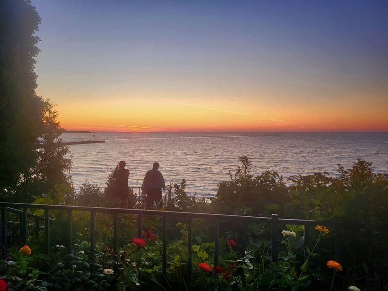
Photographed by J. J. Prats, September 9, 2024
3. View of the Pocket Park and Lake Michigan from the Marker
Credits. This page was last revised on September 23, 2024. It was originally submitted on September 23, 2024, by J. J. Prats of Powell, Ohio. This page has been viewed 207 times since then and 34 times this year. Photos: 1, 2, 3. submitted on September 23, 2024, by J. J. Prats of Powell, Ohio.
