Smithfield and Union Quarter in Belfast, Northern Ireland, United Kingdom — Northwestern Europe (the British Isles)
Belfast Telegraph
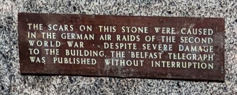
Photographed by Bruce InCharlotte, September 4, 2024
1. Belfast Telegraph Marker
Topics. This historical marker is listed in these topic lists: Architecture • War, World II.
Location. 54° 36.184′ N, 5° 55.854′ W. Marker is in Belfast, Northern Ireland. It is in the Smithfield and Union Quarter. It is at the intersection of Royal Avenue and Library Street, on the left when traveling north on Royal Avenue. Touch for map. Marker is at or near this postal address: 124-144 Royal Avenue, Belfast, Northern Ireland BT1 2GU, United Kingdom. Touch for directions.

Regionally, this marker is in Armagh, Banbridge & Craigavon, and in Belfast. Globally, it is on the Atlantic Ocean, in the North Atlantic Region, in Europe, on the Island of Ireland, on the Celtic Fringe, in Atlantic Europe, on one of the British Isles, in the Western World, and in the Anglosphere.
Other nearby markers. At least 8 other markers are within walking distance of this marker: Sir Samuel Ferguson
this page online
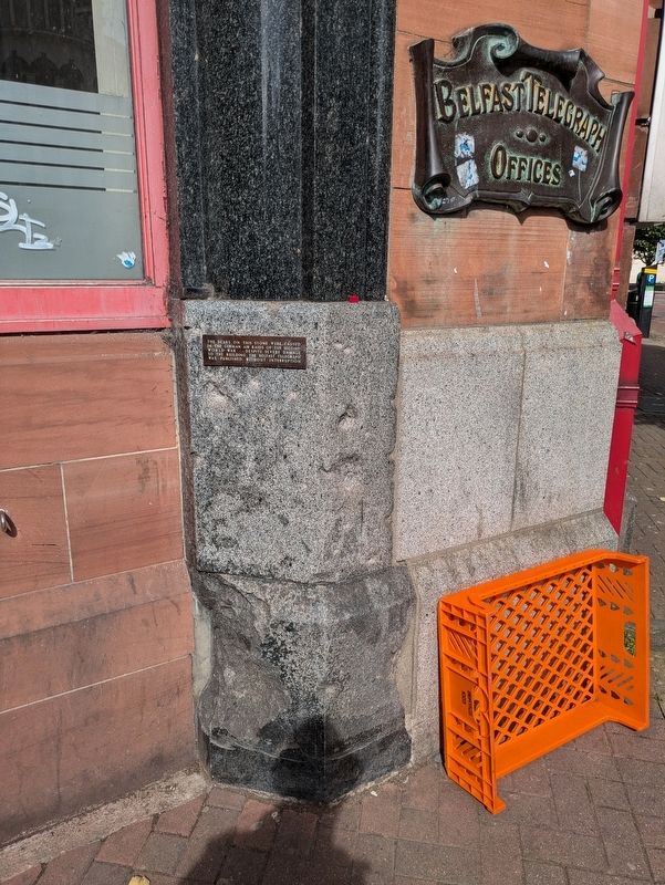
Photographed by Bruce InCharlotte, September 4, 2024
2. Belfast Telegraph Marker
Credits. This page was last revised on September 27, 2024. It was originally submitted on September 27, 2024, by Bruce InCharlotte of Charlotte, North Carolina. This page has been viewed 85 times since then and 6 times this year. Photos: 1, 2. submitted on September 27, 2024, by Bruce InCharlotte of Charlotte, North Carolina. • Andrew Ruppenstein was the editor who published this page.
