Near Prospect Ferry in Waldo County, Maine — The American Northeast (New England)
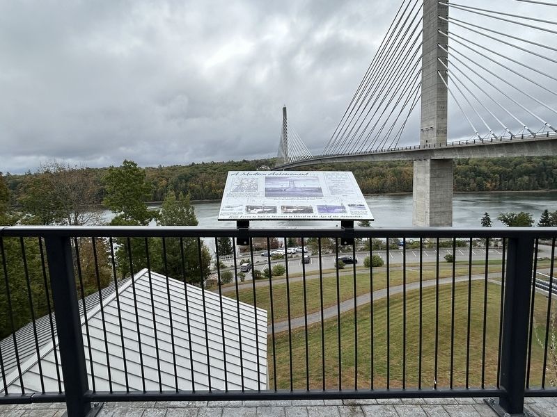
A Modern Achievement

Photographed by Steve Stoessel, September 28, 2024
1. A Modern Achievement Marker
The Waldo-Hancock Bridge, together with the Bucksport-Verona Bridge (completed in the same year), linked the communities of the two counties, connecting Winterport, Prospect, Bucksport, Stockton Springs, Searsport, Belfast and Ellsworth.
Pedestrians were able to inspect the Waldo-Hancock Bridge prior to the opening on November 16, 1931.
The "modern" toll facility collected tolls to pay off the construction bond until October 31, 1953.
As a marvel of "modern" bridge engineering, the Waldo-Hancock Bridge saw transportation from Ferry to Sail to Steamer to Diesel to the Age of the Automobile.
Topics. This historical marker is listed in this topic list: Bridges & Viaducts. A significant historical date for this entry is October 31, 1953.
Location. 44° 33.694′ N, 68° 48.289′ W. Marker is near Prospect Ferry, Maine, in Waldo County. It is on Fort Knox Road (Maine Route 179) east of U.S. 1, on the right when traveling east. Touch for map. Marker is in this post office area: Stockton Springs ME 04981, United States of America. Touch for directions.

Regionally, this marker is in Midcoast Maine and on Penobscot Bay. It is also
this page online
Other nearby markers. At least 8 other markers are within walking distance of this marker: The Waldo - Hancock Bridge (here, next to this marker); Waldo-Hancock Suspension Bridge (here, next to this marker); The Waldo-Hancock Bridge (a few steps from this marker); By the Numbers (a few steps from this marker); Segment by Segment (within shouting distance of this marker); a different marker also named The Waldo-Hancock Bridge (about 400 feet away, measured in a direct line); Penobscot Narrows Bridge and Observatory (about 400 feet away); A Revolutionary Replacement (about 500 feet away). Touch for a list and map of all markers in Prospect Ferry.
Photographed by Steve Stoessel, September 28, 2024
2. A Modern Achievement Marker
Credits. This page was last revised on October 4, 2024. It was originally submitted on September 29, 2024, by Steve Stoessel of Niskayuna, New York. This page has been viewed 108 times since then and 15 times this year. Photos: 1, 2. submitted on September 29, 2024, by Steve Stoessel of Niskayuna, New York.
