Near Prospect Ferry in Waldo County, Maine — The American Northeast (New England)
The Waldo - Hancock Bridge
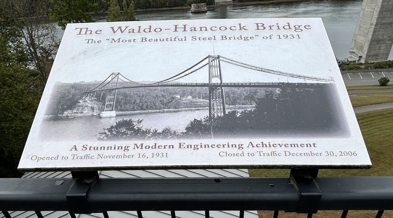
Photographed by Steve Stoessel, September 28, 2024
1. The Waldo - Hancock Bridge Marker
A Stunning Modern Engineering Achievement
Opened to Traffic November 16, 1931
Closed to Traffic December 30, 2006
Topics. This historical marker is listed in this topic list: Bridges & Viaducts. A significant historical date for this entry is November 16, 1931.
Location. 44° 33.695′ N, 68° 48.288′ W. Marker is near Prospect Ferry, Maine, in Waldo County. It is on Fort Knox Road (Maine Route 179) east of U.S. 1, on the right when traveling east. Touch for map. Marker is in this post office area: Stockton Springs ME 04981, United States of America. Touch for directions.

Regionally, this marker is in Midcoast Maine and on Penobscot Bay. It is also in the American Northeast, in New England, and on the Eastern Seaboard. Globally, it is in the North Atlantic Region, North America, the Western Hemisphere, the Western World, and the Anglosphere.
Other nearby markers. At least 8 other markers are within walking distance of this marker: A Modern Achievement (here, next to this marker); The Waldo-Hancock Bridge (here, next to this marker); Waldo-Hancock Suspension Bridge (here, next to this
this page online
Also see . . . Waldo-Hancock Bridge (Wikipedia). (Submitted on September 29, 2024, by Steve Stoessel of Niskayuna, New York.)

Photographed by Steve Stoessel, September 28, 2024
2. The Waldo - Hancock Bridge Marker
Credits. This page was last revised on September 29, 2024. It was originally submitted on September 29, 2024, by Steve Stoessel of Niskayuna, New York. This page has been viewed 110 times since then and 14 times this year. Photos: 1, 2. submitted on September 29, 2024, by Steve Stoessel of Niskayuna, New York.
