Dyea in Skagway in Skagway Borough, Alaska — Northwest (North America)
A War of Wills: Skagway as a Frontier Town and the Demise of "Mooresville"
Historic Moore Homestead
| — | Klondike Gold Rush National Historical Park | — |
Photographed by William Fischer, Jr., August 24, 2024
1. A War of Wills: Skagway as a Frontier Town and the Demise of "Mooresville" Marker
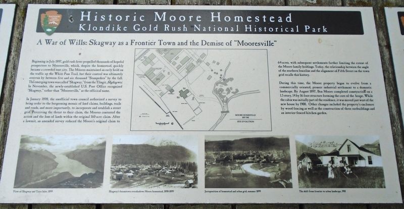
Beginning in July 1897, gold rush fever propelled thousands of hopeful prospectors to Mooresville, which, despite the homestead, quickly became a crowded tent city. The Moores maintained an early hold on the traffic the White Pass Trail, but their control was ultimately overrun by between five and six thousand "Stampeders" by the fall. The emerging town was called "Skagway," from the Tlingit, Shghagwei. In November, the newly-established U.S. Post Office recognized "Skagway," rather than "Mooresville," as the officical [sic] name.
In January 1898, the unofficial town council authorized a survey to bring order to the burgeoning mosaic of land claims, buildings, trails and roads, and more importantly, to incorporate and establish a street grid. Perceiving the threat to their claim, the Moores contested the action and the loss of lands within the original 160-acre claim. After a lawsuit, an amended survey reduced the Moore's original claim to 64-acres, with subsequent settlements further limiting the extent of the Moore family holdings. Today, the relationship between the angle of the southern fenceline and the alignment
this page online
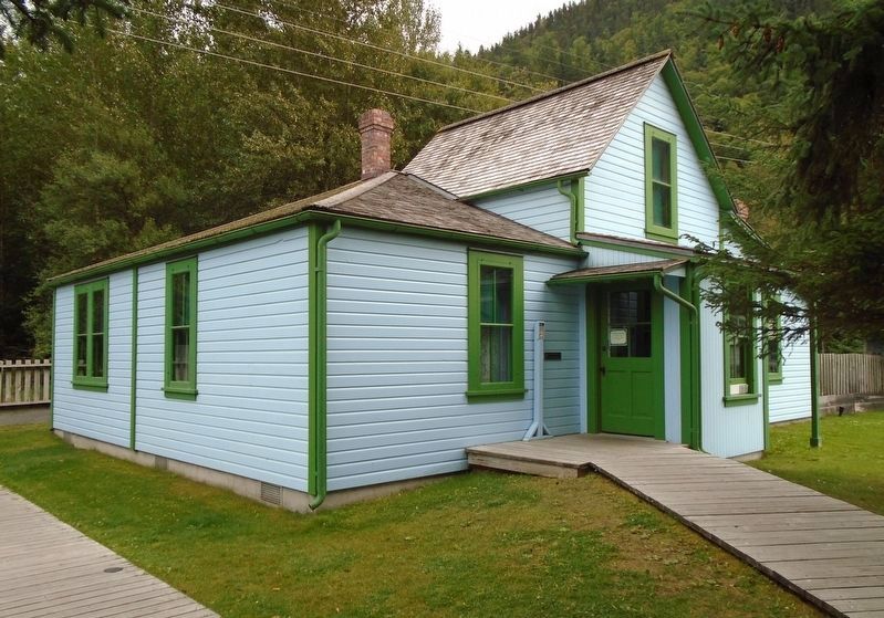
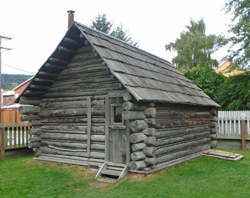
During this time, the Moore property began to evolve from a commercially oriented, pioneer industrial settlement to a domestic landscape. By August 1897, Ben Moore completed construction on a 1.5 story, 14 by 16 foot structure forming the core of the house. While the cabin was initially part of the residence, it was moved just west of the new house by 1900. Other changes included the property's enclosure by wood fencing as well as the construction of three outbuildings and an interior-fenced kitchen garden.
[Illustration/photo captions, counterclockwise from center map, read]
• Moore Homestead 1897-1901 Site Evolution [map]
• View of Skagway and Taiya Inlet, 1899
• Skagway's boomtown overshadows Moore homestead, 1898-1899
• Juxtaposition of homestead and urban grid, summer 1899
• The shift from frontier to urban landscape, 1901
Erected by National Park Service.
Topics. This historical marker is listed in these topic lists: Exploration • Industry & Commerce • Settlements & Settlers. A significant historical month for this entry is January 1898.
Location. 59° 27.302′ N, 135° 18.845′ W.
Photographed by William Fischer, Jr., August 24, 2024
2. A War of Wills: Skagway as a Frontier Town and the Demise of "Mooresville" Marker

Regionally, this marker is on the American Pacific Coast. Globally, it is in North America, on the Ring of Fire, on the Pacific Rim, in the Western Hemisphere, in the Western World, and in the Anglosphere. Historically, it finds itself in what was once the Russian Empire.
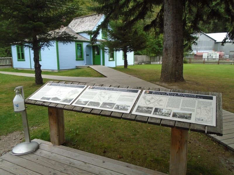
Other nearby markers. At least 8 other markers are within walking distance of this marker: Captain Moore's Vision: The Gateway to the Klondike Goldfields (here, next to this marker); The Emergence of a Domesticated Landscape: The Homestead Becomes an Urban Residence (here, next to this marker); Restoring the Past: Historic Preservation at the Moore Homestead (within shouting distance of this marker); Perceptions and Misconceptions (within shouting distance of this marker); Peniel Mission (within shouting distance of this marker); Harsh Realities (within shouting distance of this marker);
Photographed by William Fischer, Jr., August 24, 2024
3. Captain Moore's House
Photographed by William Fischer, Jr., August 24, 2024
4. Captain Moore's Cabin
Photographed by William Fischer, Jr., August 24, 2024
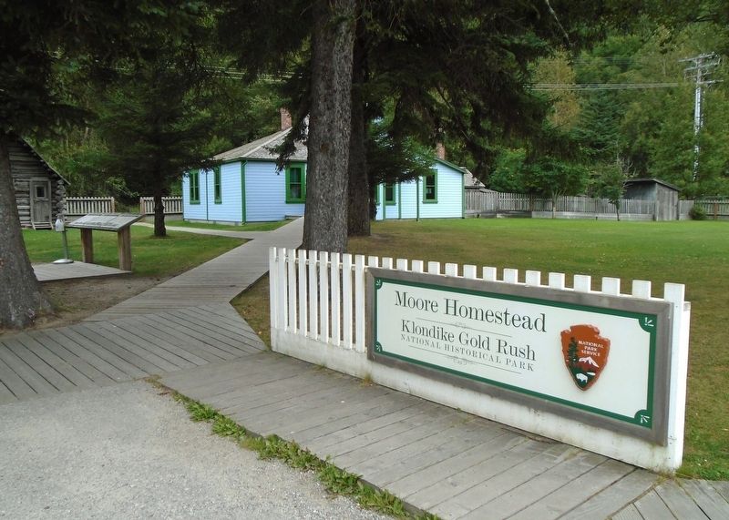
5. Moore Homestead
Credits. This page was last revised on January 3, 2025. It was originally submitted on September 29, 2024, by William Fischer, Jr. of Reynoldsburg, Ohio. This page has been viewed 318 times since then and 70 times this year. Photos: 1, 2, 3, 4, 5. submitted on September 29, 2024, by William Fischer, Jr. of Reynoldsburg, Ohio.
