St. Marks in Wakulla County, Florida — The American South (South Atlantic)
Port Leon
Photographed by Cosmos Mariner, September 22, 2024
1. Port Leon Marker
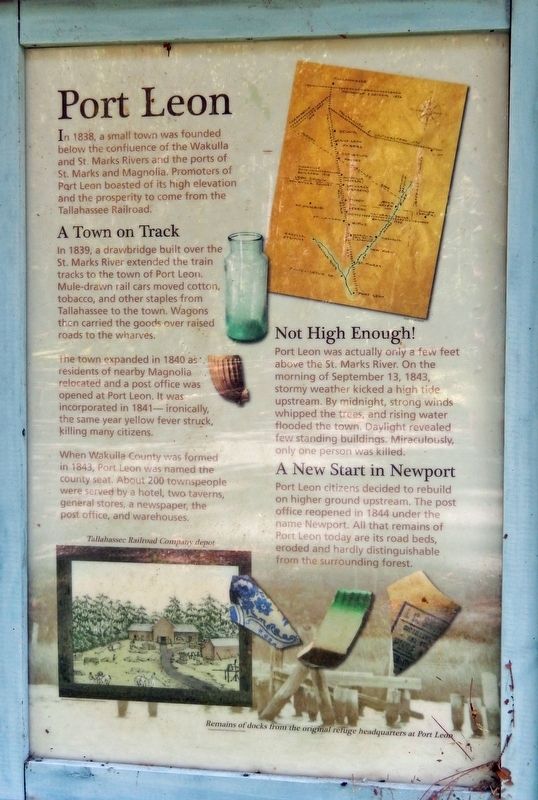
In 1838, a small town was founded below the confluence of the Wakulla and St. Marks rivers and the ports of St. Marks and Magnolia. Promoters of Port Leon boasted of its high elevation and the prosperity to come from the Tallahassee Railroad.
A Town on Track
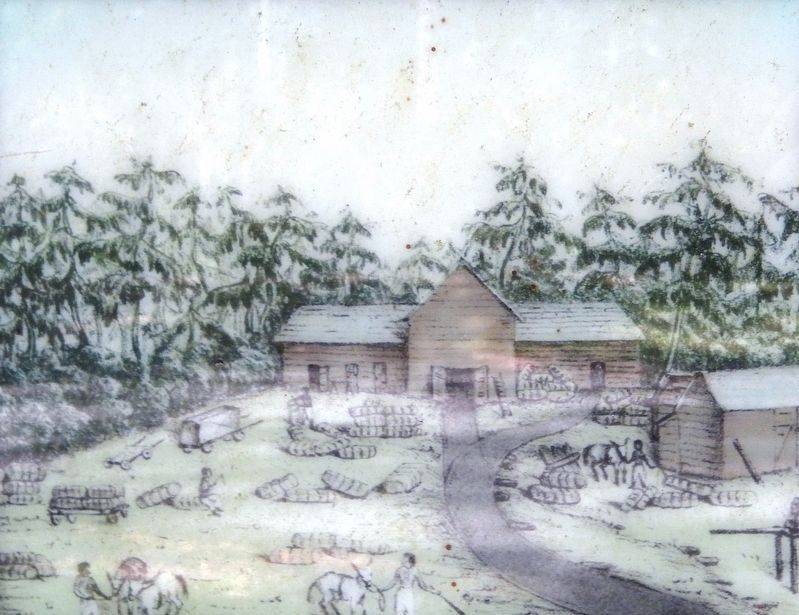
A drawbridge built over the St Marks River extended the train tracks to the town of Port Leon. Mule-drawn rail cars moved cotton, tobacco, and other staples from Tallahassee to the town. Wagons then carried the goods over raised roads to the wharves.
The town expanded in 1840 as residents of nearby Magnolia relocated and a post office was opened at Port Leon. It was incorporated in 1841 — ironically, the same year yellow fever struck, killing many citizens.
When Wakulla County was formed in 1843, Port Leon was named the county seat. About 200 townspeople were served by a hotel, two taverns, general stores, a newspaper, the post office, and warehouses.
Not High Enough!
Port Leon was actually only a few feet above the St. Marks River. On the morning of September 13, 1843, stormy weather kicked a high tide upstream. By midnight, strong winds whipped the trees, and rising water flooded the town. Daylight revealed few standing buildings. Miraculously, only one person was killed.
A New Start in Newport
Port Leon citizens decided to rebuild on higher ground upstream. The post office reopened in 1844 under the name Newport. All that remains of Port Leon today are its road beds, eroded and hardly distinguishable from the surrounding forest.
[background photo caption]
Remains of docks from the original refuge headquarters at Port Leon
Topics. This historical marker is listed in these topic lists: Disasters • Industry & Commerce • Railroads & Streetcars • Settlements & Settlers. A significant historical date for this entry is September 13, 1843.
Location. 30° 9.096′ N, 84° 8.885′ W.
this page online

Regionally, this marker is in Greater Tallahassee. It is also in the American South, specifically in the Deep South, and on the Gulf Coast. Globally, it is in the North Atlantic Region, North America, a Gulf of Mexico state, the Western Hemisphere, the Western World, and the Anglosphere. Historically, it finds itself in what was once New Spain, the territory of the Mississippian Culture, one of the Confederate States of America, and the Antebellum South.
Other nearby markers. At least 8 other markers are within 4 miles of this marker, measured as the crow flies: Bo Lynn's Grocery (approx. 3.3 miles away); a different marker also named Port Leon (approx. 3.4 miles away); Telltale Bones (approx. 3.4
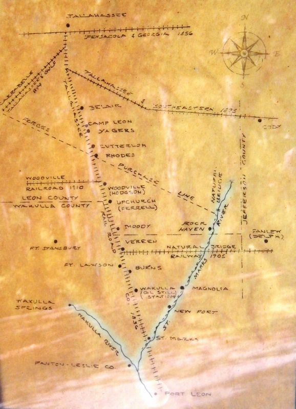
Drawn by Pete Gerrell
2. Marker detail: Tallahassee – St. Marks Railroad Map
Another marker is no longer nearby. Port Leon (was approx. 3.3 miles away but has been confirmed missing).
Also see . . .
1. Port Leon, Florida (Wikipedia).
Excerpt: Port Leon, Florida, was a river port town located in what is now Wakulla County, Florida. The town existed for only about six years in the first half of the 19th century. Port Leon is classified as an "extinct city" by the State Library and Archives of Florida, and only remnants can be found today. The Tallahassee Railroad reached Port Leon in 1839. By that time, both freight wagons and the railroad were transporting approximately 30,000 to 40,000 bales of cotton annually to the area ports. On March 11, 1843, it was chosen as the seat of newly created Wakulla County. On September 13, 1843, a strong hurricane(Submitted on September 30, 2024, by Cosmos Mariner of Cape Canaveral, Florida.)with a 10-foot storm surge hit the area and destroyed Port Leon as well as heavily damaging nearby Magnolia and St. Marks.Based on image provided by State Archives of Florida3. Marker detail: Tallahassee Railroad Company Depot
2. Tallahassee Railroad (Wikipedia).
Excerpt: The railroad was conceived and financed by leading cotton planters who needed a way to get their crop to textile mills in England and New England. It was also used by naval stores merchants and timber interests of the area to transport their goods to East Coast ports. The Tallahassee Railroad Company was approved in 1835 by the Florida Territorial Legislative Council. Construction of the railroad began in Tallahassee, and had reached St. Marks, a distance of 22 miles, by 1836 or 1837. By 1839, the railroad was extended two miles south to Port Leon by means of a drawbridge across the St. Marks River.(Submitted on September 30, 2024, by Cosmos Mariner of Cape Canaveral, Florida.)
Photographed by Cosmos Mariner, September 22, 2024
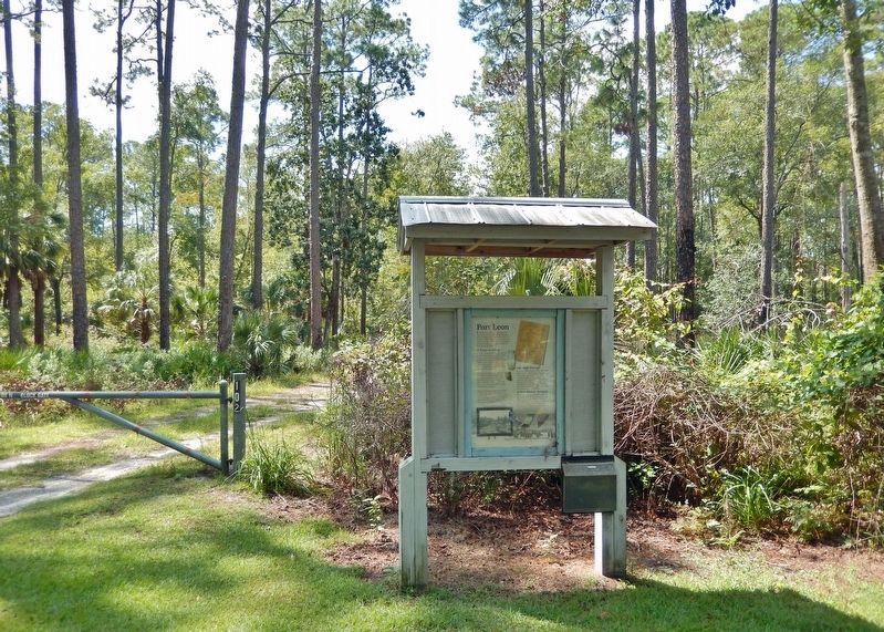
4. Port Leon Marker Kiosk
Looking west from Lighthouse Road.
Photographed by Cosmos Mariner, September 22, 2024
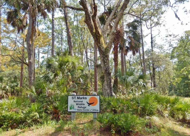
5. Saint Marks National Wildlife Refuge Visitor Center
The visitor center is located about 150 meters southeast of the Port Leon marker.
Credits. This page was last revised on September 30, 2024. It was originally submitted on September 29, 2024, by Cosmos Mariner of Cape Canaveral, Florida. This page has been viewed 374 times since then and 78 times this year. Photos: 1, 2, 3, 4, 5. submitted on September 30, 2024, by Cosmos Mariner of Cape Canaveral, Florida.
