Near Fredonia in Coconino County, Arizona — The American Mountains (Southwest)
Where There's Smoke...

Photographed by Tom Bosse, July 23, 2024
1. Where There's Smoke... Marker
[Caption]: Spotting and Plotting
The 80-foot-high steel tower you see here was built during the Great Depression by the Civilian Conservation Corps - and continues to serve as a lookout tower today. Lookouts still use the "Osborne" fire-finder to plot the location of any fires that they spot.
[Caption]: Aerial Surveillance
Where towers once served as the main way we spotted fires, we are increasingly relying on aircraft and even satellite imagery to spot and monitor fires.
Topics. This historical marker is listed in this topic list: Horticulture & Forestry. A significant historical year for this entry is 1934.
Location. 36° 41.983′ N, 112° 12.836′ W. Marker is near Fredonia, Arizona, in Coconino County. It is on Grand Canyon Highway (Arizona Route 67), on the left when traveling south. Touch for map. Marker is in this post office area: Fredonia AZ 86022, United States of America. Touch for directions.

Regionally, this marker
this page online
Other nearby markers. At least 4 other markers are within walking distance of this marker: Jacob Lake Lookout Tower (a few steps from this marker); Theodore Roosevelt (approx. 0.9 miles away); Kaibab Squirrel Area (approx. one mile away); Jacob Lake Ranger Station (approx. one mile away).
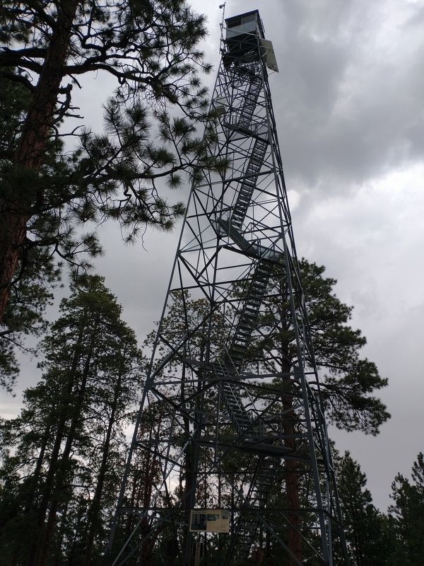
Photographed by Tom Bosse, July 23, 2024
2. Jacob Lake Lookout Tower
Marker is located at the base of the tower.

Photographed by Tom Bosse, July 23, 2024
3. National Historic Lookout Register
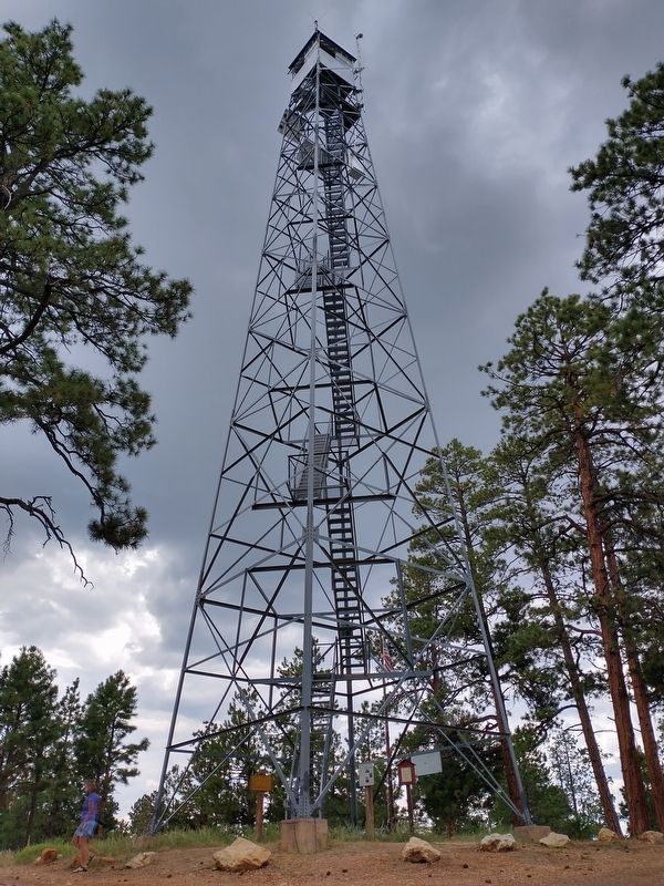
Photographed by Tom Bosse, July 23, 2024
4. Jacob Lake Lookout Tower
Credits. This page was last revised on September 30, 2024. It was originally submitted on September 29, 2024, by Tom Bosse of Jefferson City, Tennessee. This page has been viewed 206 times since then and 33 times this year. Photos: 1, 2, 3, 4. submitted on September 29, 2024, by Tom Bosse of Jefferson City, Tennessee. • Andrew Ruppenstein was the editor who published this page.
