East Machias in Washington County, Maine — The American Northeast (New England)
Mill Memorial Park
Saw and Grist Mills
| — | 1765 - 1908 | — |
Photographed by Steve Stoessel, September 30, 2024
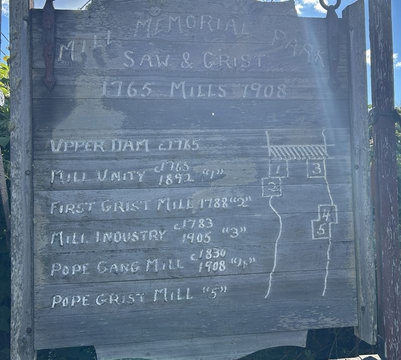
1. Mill Memorial Park Marker
Upper Dam c. 1765
Mill Unity 1765 - 1892. “1”
First Grist Mill 1788 “2”
Mill Industry c.1783 - 1905 "3"
Pope Gang Mill c. 1830 - 1908 "4”
Pope Grist Mill "5"
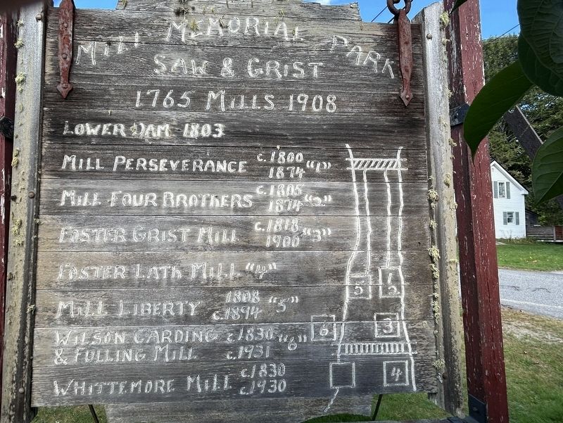
Lower Dam 1803
Mill Perseverance c. 1800 - 1874 “1”
Mill Four Brothers c. 1805 - 1874 “2”
Foster Grist Mill c. 1818 - 1900 "3"
Foster Lath Mill “4”
Mill Liberty 1808 - c.1894
Wilson Carding & Fulling Mill c. 1830 - c. 1931 “6”
Whittemore Mill c. 1830 - c. 1930
Topics. This historical marker is listed in this topic list: Industry & Commerce. A significant historical year for this entry is 1765.
Location. 44° 44.153′ N, 67° 23.388′ W. Marker is in East Machias, Maine, in Washington County. It is on Water Street 0.1 miles south of U.S. 1, on the right when traveling south. Touch for map. Marker is at or near this postal address: 48 Water Street, East Machias ME 04630, United States of America. Touch for directions.

Regionally, this marker is in Downeast Maine. It is also in the American Northeast, in New England, and on the Eastern Seaboard. Globally, it is in the North Atlantic Region, North America, the Great North Woods, the Western Hemisphere,
this page online
Other nearby markers. At least 8 other markers are within 4 miles of this marker, measured as the crow flies: Colonel Benjamin Foster (approx. 0.2 miles away); Fort Machias/O'Brien (approx. 3.2 miles away); Birthplace of the U.S. Navy (approx. 3.2 miles away); Libby Hall (approx. 3½ miles away); The Machias River (approx. 3.7 miles away); Veterans Memorial (approx. 3.7 miles away); First Naval Battle of the American Revolution (approx. 3.7 miles away); Revolutionary War Patriots (approx. 3.7 miles away).
More about this marker. This is a two-sided marker. One side describes the lower dam mill sites. The other side describes the mills on the upper dam site. The marker itself itself looks like it has been moved out of its normal position for the season.
Regarding Mill Memorial Park. The quoted numbers refer to the mill position on the maps.
Photographed by Steve Stoessel, September 30, 2024
2. Rear Side of Mill Memorial Park Marker
Photographed by Steve Stoessel, September 30, 2024
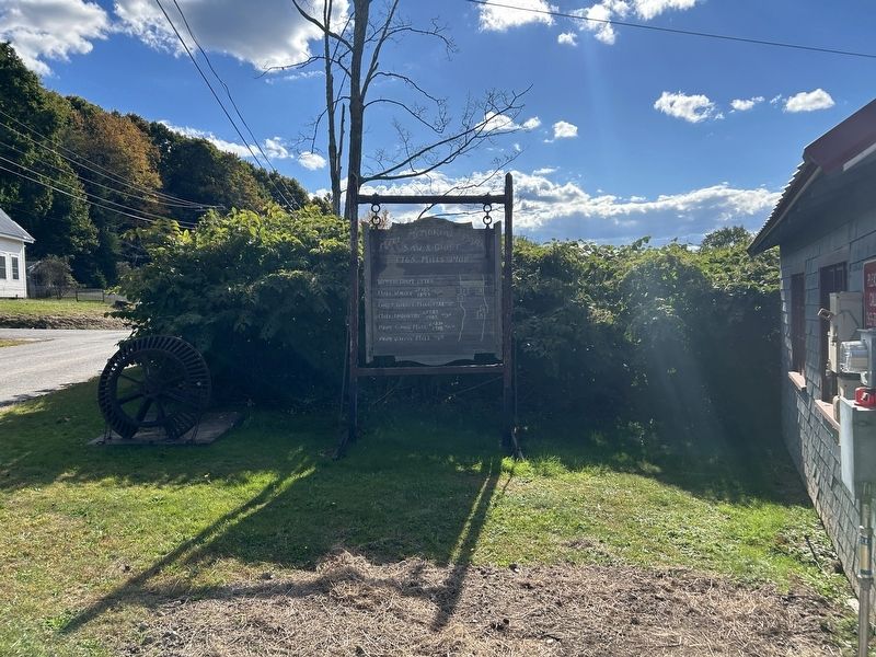
3. Mill Memorial Park Marker
Photographed by Steve Stoessel, September 30, 2024
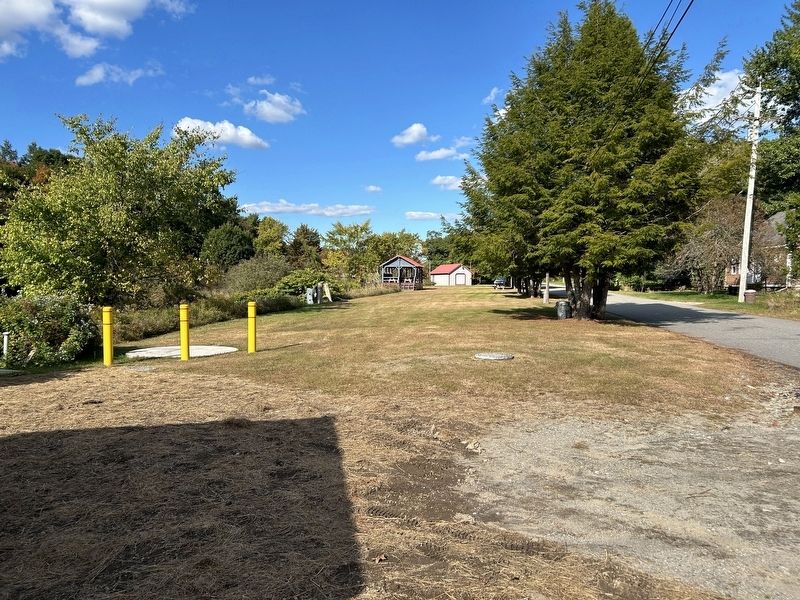
4. Mill Memorial Park
The park is littered with artifacts from the mills.
Credits. This page was last revised on October 1, 2024. It was originally submitted on October 1, 2024, by Steve Stoessel of Niskayuna, New York. This page has been viewed 190 times since then and 26 times this year. Photos: 1, 2, 3, 4. submitted on October 1, 2024, by Steve Stoessel of Niskayuna, New York.
