Bristol, Virginia — The American South (Mid-Atlantic)
WCYB's "Farm and Fun Time"
Photographed by Mark Parker, October 4, 2024
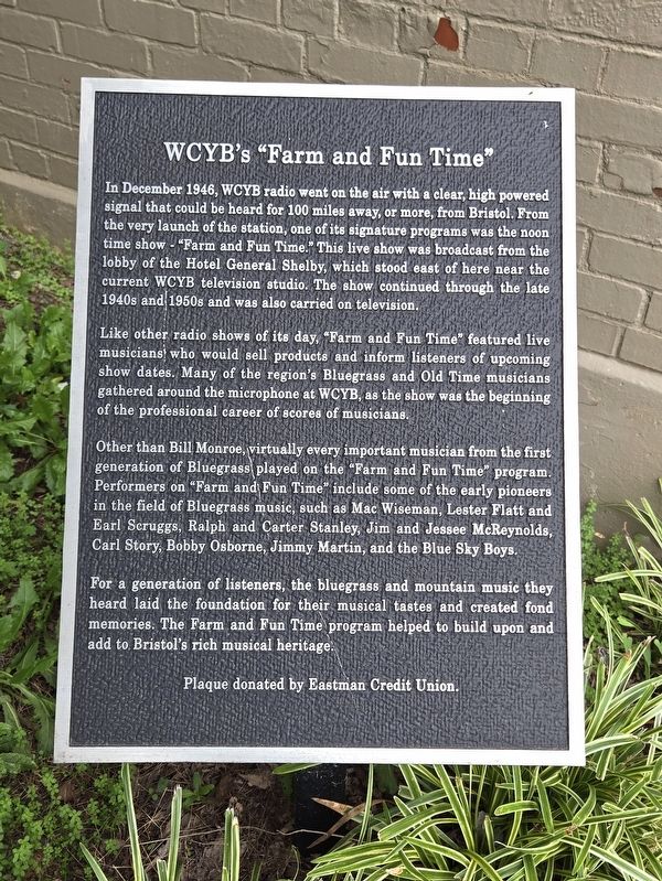
1. WCYB's "Farm and Fun Time" Marker
Like other radio shows of its day, "Farm and Fun Time" featured live musicians who would sell products and inform listeners of upcoming show dates. Many of the region's Bluegrass and Old Time musicians gathered around the microphone at WCYB, as the show was the beginning of the professional career of scores of musicians.
Other than Bill Monroe, virtually every important musician from the first generation of Bluegrass played on the "Farm and Fun Time" program. Performers on "Farm and Fun Time" include some of the early pioneers in the field of Bluegrass music, such as Mac Wiseman, Lester Flatt and Earl Scruggs, Ralph and Carter Stanley, Jim
this page online
For a generation of listeners, the bluegrass and mountain music they heard laid the foundation for their musical tastes and created fond memories. The Farm and Fun Time program helped to build upon and add to Bristol's rich musical heritage.
Erected by Eastman Credit Union.
Topics. This historical marker is listed in these topic lists: Arts, Letters, Music • Communications • Entertainment. A significant historical month for this entry is December 1946.
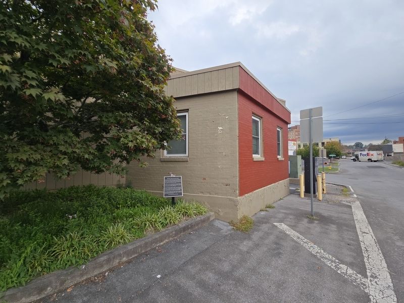
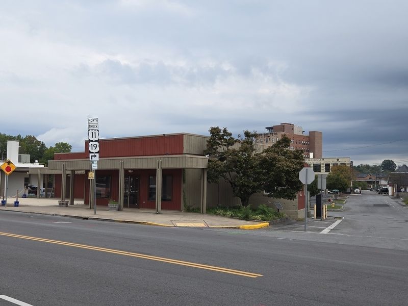
Location. 36° 35.754′ N, 82° 11.066′ W. Marker is in Bristol, Virginia. It can be reached from the intersection of Winston Alley and Piedmont Avenue, on the left when traveling east. The marker is under a small tree at the southwest corner of the building. Touch for map. Marker is at or near this postal address: 153 Piedmont Ave, Bristol VA 24201, United States of America. Touch for directions.

Regionally, this marker is in the Tri-Cities Area, in Southwest Virginia, and in the Blue Ridge Highlands. It is also in the American South, specifically in the Upper South, in Appalachia, and specifically
Photographed by Mark Parker, October 4, 2024
2. Facing Winston Alley, WCYB's "Farm and Fun Time" Marker at the planter under the tree
Other nearby markers. At least 8 other markers are within walking distance of this marker: 629 State Street (about 300 feet away, measured in a direct line); 614-618 State Street (about 400 feet away in Tennessee); A Tribute to Sgt. Carl Lee Powers, A Korean War Veteran (about 400 feet away); Ernest V. "Pop" Stoneman (about 400 feet away); Emmanuel Episcopal Church (about 500 feet away); Solar Hill (about 500 feet away); King/Lancaster/McCoy/Mitchell House (about 600 feet away); Bank Street (about 600 feet away in Tennessee). Touch for a list and map of all markers in Bristol.
Another marker is no longer nearby. Historic Bristol (was about 600 feet away but has been replaced with another marker now near it).
Photographed by Mark Parker, October 4, 2024
3. Full view of building (currently empty) across Piedmont Ave. Marker is to the right
Credits. This page was last revised on October 5, 2024. It was originally submitted on October 4, 2024, by Mark Parker of Hickory, North Carolina. This page has been viewed 452 times since then and 49 times this year. Photos: 1. submitted on October 4, 2024, by Mark Parker of Hickory, North Carolina. 2, 3. submitted on October 5, 2024, by Mark Parker of Hickory, North Carolina. • Bernard Fisher was the editor who published this page.
