Bainbridge in Decatur County, Georgia — The American South (South Atlantic)
John the Baptist
The Largest Oak in Bainbridge
Photographed by Cosmos Mariner, September 21, 2024
1. John the Baptist Marker
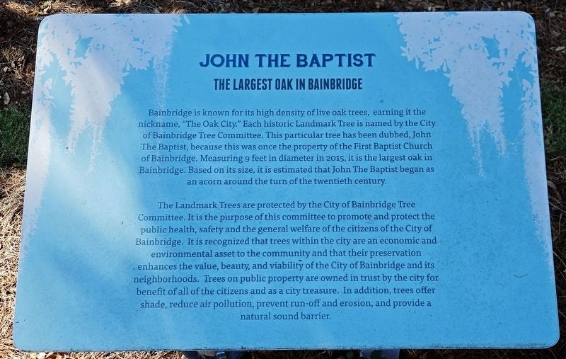
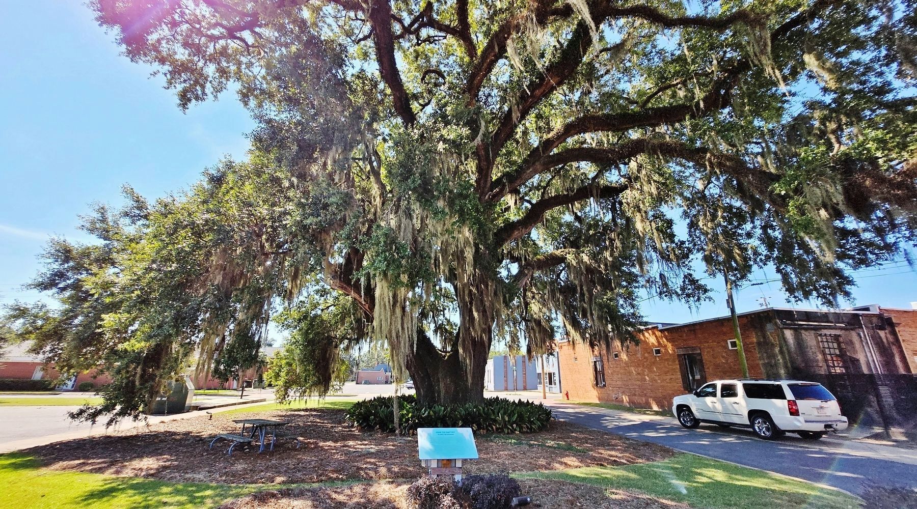
Bainbridge is known for its high density of live oak trees, earning it the nickname, “The Oak City.” Each historic Landmark Tree is named by the City of Bainbridge Tree Committee. This particular tree has been dubbed, John The Baptist, because this was once the property of the First Baptist Church of Bainbridge. Measuring 9 feet in diameter in 2015, it is the largest oak in Bainbridge. Based on its size, it is estimated that John The Baptist began as an acorn around the turn of the twentieth century.
The Landmark Trees are protected by the City of Bainbridge Tree Committee. It is the purpose of this committee to promote and protect the public health, safety and the general welfare of the citizens of the City of Bainbridge. It is recognized that trees within the city are an economic and environmental asset to the community and that their preservation enhances the value, beauty, and viability of the City of Bainbridge and its neighborhoods. Trees on public property are owned in trust by the city for benefit of all of the citizens and as a city treasure. In addition, trees offer shade, reduce air pollution, prevent run-off
this page online
Topics and series. This historical marker is listed in this topic list: Landmarks. In addition, it is included in the Historic Trees series list.
Location. 30° 54.33′ N, 84° 34.481′ W. Marker is in Bainbridge, Georgia, in Decatur County. It is on North Clark Street just north of East Troupe Street, on the right when traveling north. The marker is located on the north side of the subject tree. Touch for map. Marker is in this post office area: Bainbridge GA 39817, United States of America. Touch for directions.

Regionally, this marker is on the Coastal Plain. It is also in the American South and specifically in the Deep South. Globally, it is in North America, the Western Hemisphere, the Western World, and the Anglosphere. Historically, it finds itself in what was once the territory of the Mississippian Culture, one of the original Thirteen Colonies, one of the Confederate States of America, and the Antebellum South.
Other nearby markers. At least 8 other markers are within walking distance of this marker: Luther H. Conyers, Jr. Plaza
Photographed by Cosmos Mariner, September 21, 2024
2. John the Baptist Marker & Tree
Looking south; North Clark Street is on the right. East Troupe Street crosses in the background.
Credits. This page was last revised on October 6, 2024. It was originally submitted on October 5, 2024, by Cosmos Mariner of Cape Canaveral, Florida. This page has been viewed 545 times since then and 90 times this year. Photos: 1, 2. submitted on October 6, 2024, by Cosmos Mariner of Cape Canaveral, Florida.
