Bristol, Virginia — The American South (Mid-Atlantic)
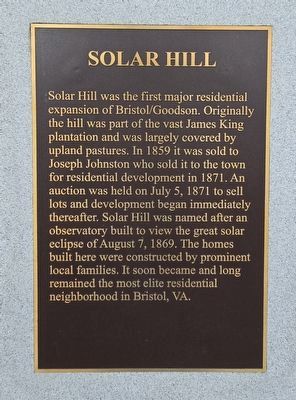
Solar Hill
Photographed by Mark Parker, October 4, 2024
1. Solar Hill Marker
Topics. This historical marker is listed in this topic list: Settlements & Settlers. A significant historical date for this entry is August 7, 1869.
Location. 36° 35.834′ N, 82° 11.101′ W. Marker is in Bristol, Virginia. It is at the intersection of Cumberland Street and Johnson Street, on the right when traveling west on Cumberland Street. Touch for map. Marker is at or near this postal address: 701 Cumberland St, Bristol VA 24201, United States of America. Touch for directions.

Regionally, this marker is in the
this page online
Other nearby markers. At least 8 other markers are within walking distance of this marker: Emmanuel Episcopal Church (a few steps from this marker); King/Lancaster/McCoy/Mitchell House (about 300 feet away, measured in a direct line); King's Alley/Sycamore Street (about 400 feet away); Solar Observatory (about 400 feet away); Solar Street (about 500 feet away); WCYB's "Farm and Fun Time" (about 500 feet away); A Tribute to Sgt. Carl Lee Powers, A Korean War Veteran (about 500 feet away); The Sunrise House 1895 (about 600 feet away). Touch for a list and map of all markers in Bristol.
Also see . . .
1. Solar Hill Revitalization Project.
Photographed by Mark Parker, October 4, 2024
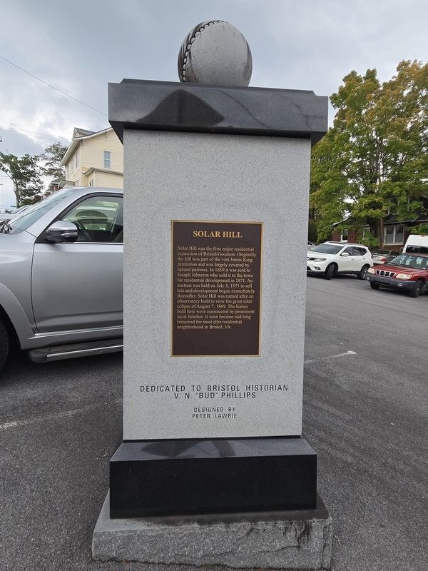
2. Solar Hill Marker and pedestal
Inscription: Dedicated to Bristol Historian V.N. "Bud Phillips
Designed by Peter Lawrie
Designed by Peter Lawrie
In 1869 an astronomical observatory was located on a hill in Bristol to view the total solar eclipse of August, 1869... The area was named Solar Hill after this observatory.(Submitted on October 5, 2024, by Mark Parker of Hickory, North Carolina.)
Some of Bristol's most colorful history occurred in the area, including stories involving several men who later became U.S. presidents. A regular visitor to the area was Andrew Jackson, who frequented the King mansion and was escorted to Washington for his inauguration by William King.
Andrew Johnson was injured in a stagecoach accident when a hornet flew into the coach, causing passengers to flee and spooking the horses. The coach overturned near what are now King and Sullins streets and left him with a scar he carried for the rest of his life.
2. Solar Hill Historic District Walking Tour (pdf). (Submitted on October 5, 2024, by Mark Parker of Hickory, North Carolina.)
Photographed by Mark Parker, October 4, 2024
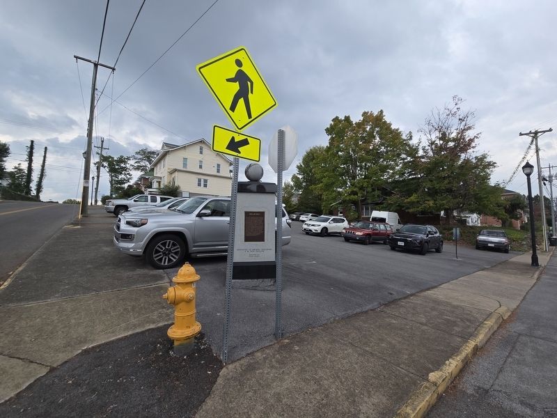
3. Wide view of Solar Hill marker and pedestal located in SE corner of parking lot
Credits. This page was last revised on October 6, 2024. It was originally submitted on October 5, 2024, by Mark Parker of Hickory, North Carolina. This page has been viewed 326 times since then and 50 times this year. Photos: 1, 2, 3. submitted on October 5, 2024, by Mark Parker of Hickory, North Carolina. • Bernard Fisher was the editor who published this page.
