
Bristol, Virginia — The American South (Mid-Atlantic)
Emmanuel Episcopal Church
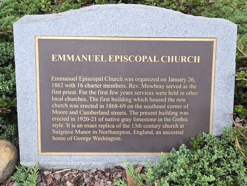
Photographed by Mark Parker, October 4, 2024
1. Emmanuel Episcopal Church Marker
Topics. This historical marker is listed in these topic lists: Architecture • Religion & Religious Structures. A significant historical date for this entry is January 26, 1862.
Location. 36° 35.828′ N, 82° 11.111′ W. Marker is in Bristol, Virginia. It is at the intersection of Cumberland Street and James Street, on the right when traveling east on Cumberland Street. The marker is at ground level in a planter above the adjacent sidewalk. Touch for map. Marker is at or near this postal address: 700 Cumberland St, Bristol VA 24201, United States of America. Touch for directions.

Regionally, this marker
this page online
Other nearby markers. At least 8 other markers are within walking distance of this marker: Solar Hill (a few steps from this marker); King/Lancaster/McCoy/Mitchell House (within shouting distance of this marker); Solar Observatory (about 500 feet away, measured in a direct line); King's Alley/Sycamore Street (about 500 feet away); WCYB's "Farm and Fun Time" (about 500 feet away); Solar Street (about 500 feet away); A Tribute to Sgt. Carl Lee Powers, A Korean War Veteran (about 600 feet away); The Sunrise House 1895 (about 600 feet away). Touch for a list and map of all markers in Bristol.
Also see . . .
1. History
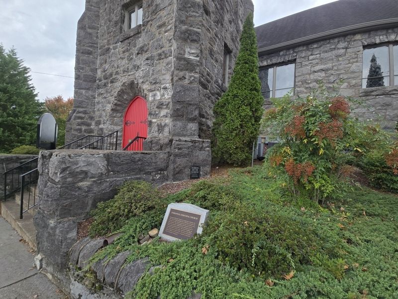
Photographed by Mark Parker, October 4, 2024
2. Emmanuel Episcopal Church Marker to the right of the sanctuary entrance
Emmanuel Episcopal Church was established on January 26, 1862, in the hamlet of Goodson — later known as Bristol — Virginia, by sixteen determined men and women, only nine of whom were communicants. A brick structure owned by the Masonic fraternity and known as the Academy Building was secured rent-free; but, as the Civil War was raging, its use was short-lived due to its conversion to a military hospital.(Submitted on October 5, 2024, by Mark Parker of Hickory, North Carolina.)
A nearby Baptist church allowed parishioners to use its building for a 9:00 a.m. service, with the proviso that it be cleared for the Baptists to meet two hours later! This meeting place was used until February, 1869, when a frame structure on the corner of Moore and Cumberland Streets was completed.
2. Emmanuel Episcopal Church. (Submitted on October 6, 2024.)
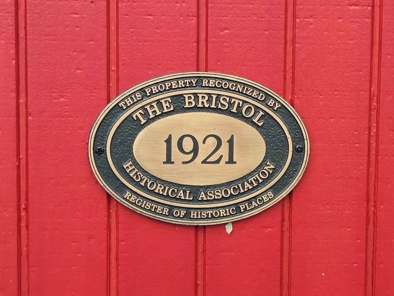
Photographed by Mark Parker, October 4, 2024
3. Bristol Historical Association plaque (1921)

Photographed by Mark Parker, October 4, 2024
4. Solar Hill Historic District Preservation Award
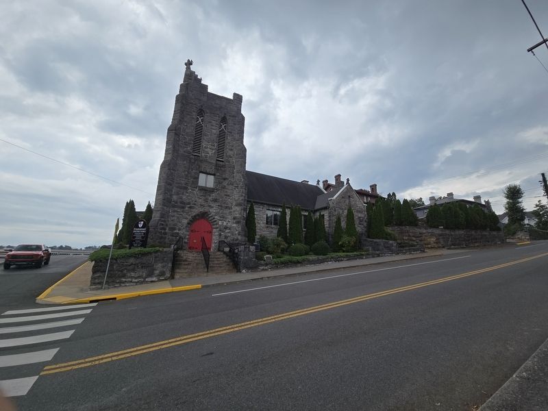
Photographed by Mark Parker, October 4, 2024
5. Full view of Emmanuel Episcopal Church
Credits. This page was last revised on October 6, 2024. It was originally submitted on October 5, 2024, by Mark Parker of Hickory, North Carolina. This page has been viewed 187 times since then and 21 times this year. Photos: 1, 2, 3, 4, 5. submitted on October 5, 2024, by Mark Parker of Hickory, North Carolina. • Bernard Fisher was the editor who published this page.
