Gorham in Cumberland County, Maine — The American Northeast (New England)
Red Stone Monument
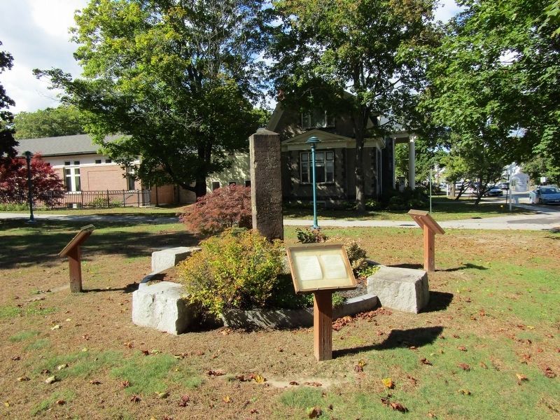
Photographed by Conrad Ward, September 29, 2024
1. Red Stone Monument Marker
(south side)
This town was incorporated by the name of Gorham, Oct. 30, 1764.
(west side)
Gorham is one of the seven townships granted by Gen. Court in the year 1732, to the Narragansett settlers. On a division of the property among the original grantees, this town was assigned to Capt. John Gorham and one hundred nineteen others, and was then called Narragansett, No. 7.
(north side)
Capt. John Phinney commenced the first settlement in this town May, 1736. This event celebrated May 26, 1836, May 26 1886.
(east side)
This monument was erected by direction and at the expense of this town, May 6, 1805. Placed upon its present base, May 26, 1886.
Erected 1805 by Town of Gorham.
Topics. This historical marker and monument is listed in this topic list: Settlements & Settlers. A significant historical month for this entry is May 1736.
Location. 43° 40.616′ N, 70° 26.497′ W. Marker is in Gorham, Maine, in Cumberland County. It is at the intersection of South Street (Maine Route 114) and Lincoln Street, on the right when traveling south on South Street. Located next to the Baxter Memorial Library. Touch for map. Marker
this page online

Regionally, this marker and monument is in Greater Portland. It is also in the American Northeast, in New England, and on the Eastern Seaboard. Globally, it is in the North Atlantic Region, North America, the Western Hemisphere, the Western World, and the Anglosphere.
Other nearby markers. At least 8 other markers are within 2 miles of this marker, measured as the crow flies: Baxter House (within shouting distance of this marker); These Millstones (within shouting distance of this marker); World War I Memorial (about 600 feet away, measured in a direct line); Veterans Memorial (about 600 feet away); Phinney Park (about 600 feet away); Soldiers' Monument (approx. 0.3 miles away); Art Gallery (approx. 0.3 miles away); Rev. Soloman Lombard (approx. 1.6 miles away). Touch for a list and map of all markers in Gorham.
More about this marker. Also known as the "Old Monument" or the "Town Monument." In 1805 the town of Gorham voted to erect a town monument to be placed near the Corner and $50 was raised to defray
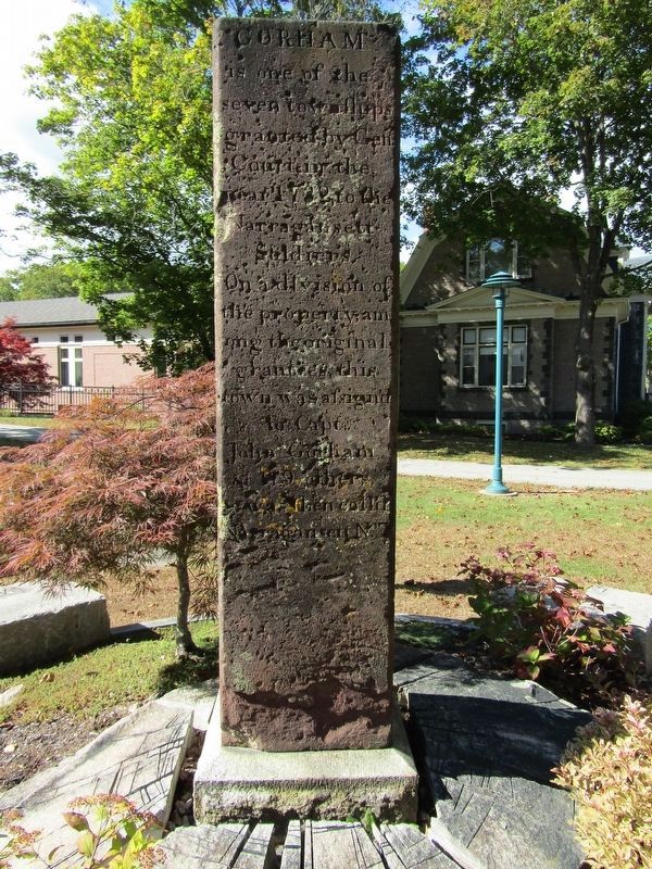
Photographed by Conrad Ward, September 29, 2024
2. Red Stone Monument Marker
This red stone monument was procured and erected in 1805 by the northeast corner of Capt. Robie's store.
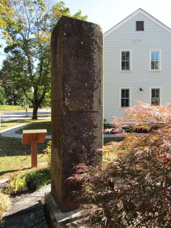
Photographed by Conrad Ward, September 29, 2024
3. Red Stone Monument Marker
Credits. This page was last revised on October 14, 2024. It was originally submitted on October 5, 2024, by Conrad Ward of Guilford, Connecticut. This page has been viewed 335 times since then and 46 times this year. Photos: 1, 2, 3. submitted on October 5, 2024, by Conrad Ward of Guilford, Connecticut. • Michael Herrick was the editor who published this page.
