
Manjakamiadana in Antananarivo in Antananarivo Renivohitra, Analamanga, Madagascar — Africa (Indian Ocean)
Rova of Antananarivo
Manjakamiadana
Photographed by J. Makali Bruton, September 6, 2024
1. Rova of Antananarivo Marker

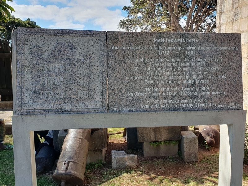
Manjakamiadana
Anarana mipelraka efa hatramin’ny andron Andrianampoinimerina
(1792-1810)
Tranohazo no natsangan’i Jean Laborde ho an dRanavalona I tamin’ny 1839
30 metatra ny lavany, 18 metatra ny sakany ary 41,85 metatra ny haavony nandritra ny asa no namboarin dRainitsentsoroka “Grue” nibalana ny andry lavabe
Nofonosina vato tamin'ny 1869 ka James Cameron (1800-1875) no tompo marika
Haheny miaraka amin'ny vato lavany 42 metatra, sakany 31 metatra
3P-Asso Tiasary
Don de Hotel Carlton
Rova of Antananarivo
Manjakamiadana
The name has been reproduced since the time of 1792-1810.
Jean Laborde built a wooden house for Ranavalona I in 1839.
It was 30 meters long, 18 meters wide and 41.85 meters high. During the work, the Grue Falls had been built.
The wooden structure was enclosed with stones in 1869 by James Cameron (1800-1875), the master architect.
It is 42 meters in length and 31 meters in width.
3P-Asso Tiasary
Gift of the Hotel Carlton
Topics. This historical marker is listed in this topic list: Architecture. A significant historical year for this entry is 1839.
Location. 18° 55.384′ S, 47° 31.932′ E.
this page online

Regionally, it is in Africa, specifically in Sub-Saharan Africa, in the Indian Ocean, at one of the Indian Ocean Islands and on the Swahili Coast. Historically, it finds itself in what was once a French colony.
Other nearby markers. At least 6 other markers are within walking distance of this marker: I - Rovan'antananarivo (within shouting distance of this marker); Lapa Mahitsielafanjaka (about 90 meters away, measured in a direct line); Translation of the Bible to Malagasy (about 90 meters away); Fiangonana (about 150 meters away); Ny Lemak'i Betsimitatatra / Ny Farihin'anosy / Ny Toerana Misy Ireo Minisitera (about 180 meters away); Malagasy Soldiers Memorial (approx. 1.4 kilometers away).
Photographed by J. Makali Bruton, September 6, 2024
2. Rova of Antananarivo Marker
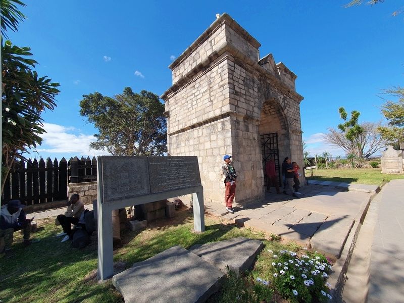
The marker is just left after entering the Queen's Palace grounds.
Photographed by J. Makali Bruton, September 6, 2024
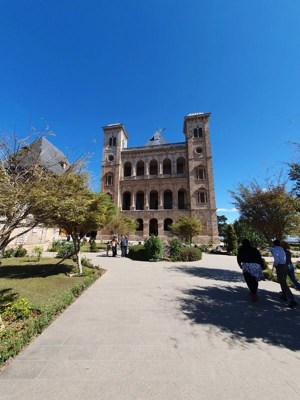
3. The Queen's Palace at the Rova of Antananarivo
Photographed by J. Makali Bruton, September 6, 2024
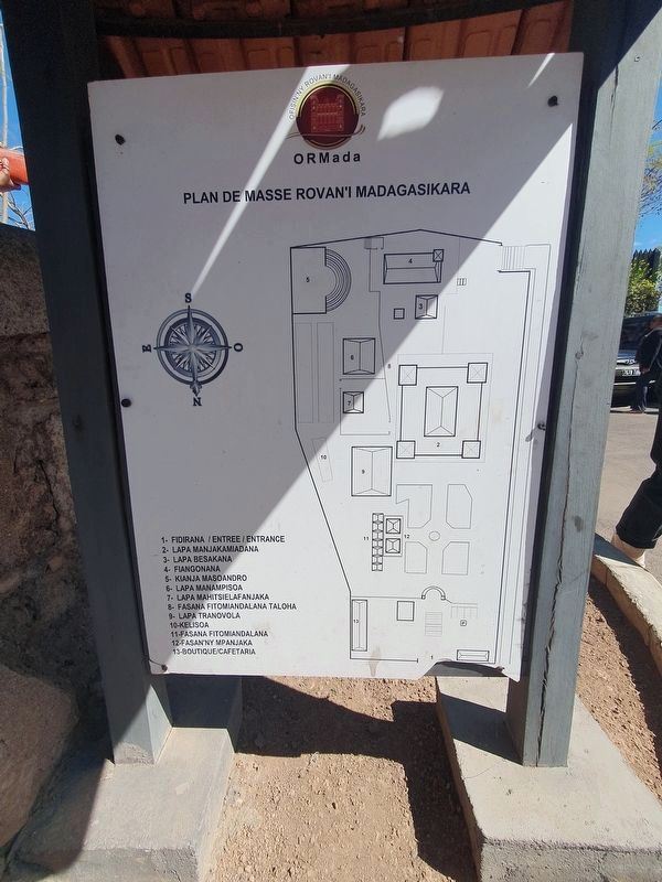
4. Map of the Rova of Antananarivo
Credits. This page was last revised on October 6, 2024. It was originally submitted on October 6, 2024, by J. Makali Bruton of Washington, District of Columbia. This page has been viewed 248 times since then and 40 times this year. Photos: 1, 2, 3, 4. submitted on October 6, 2024, by J. Makali Bruton of Washington, District of Columbia.
