Goodlettsville in Davidson County, Tennessee — The American South (East South Central)
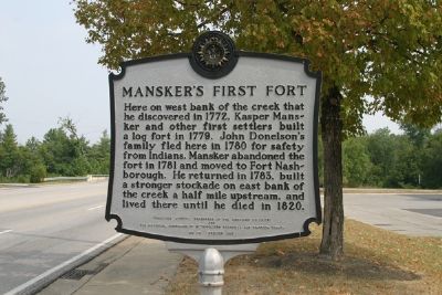
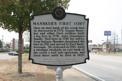
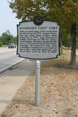
Manskerís First Fort
Erected 1981 by Tennessee Society, Daughters of the American Colonists and The Historical Commission of Metropolitan Nashville and Davidson County. (Marker Number 72.)
Topics and series. This historical marker is listed in these topic lists: Forts and Castles • Settlements & Settlers. In addition, it is included in the Daughters of the American Colonists, and the Tennessee, The Historical Commission of Metropolitan Nashville and Davidson County series lists. A significant historical year for this entry is 1772.
Location. 36° 19.6′ N, 86° 41.983′ W. Marker is in Goodlettsville, Tennessee, in Davidson County. Marker is on Long Hollow Pike (Tennessee Route 174), on the right when traveling east. Touch for map. Marker is in this post office area: Goodlettsville TN 37072, United States of America. Touch for directions.
Other nearby markers. At least 8 other markers are within walking distance of this marker. William Bowen House (within shouting distance of this marker); Mansker's Station (approx. 0.6 miles away); First Long Hunters (approx. 0.6 miles away); Bowen Plantation House (approx. 0.7 miles away); Mansker Creek (approx. 0.7 miles away); Casper Mansker (approx. 0.9 miles away); Goodlettsville Cumberland Presbyterian Church (approx. 0.9 miles away); a different marker also named Manskerís Station (approx. 0.9 miles away). Touch for a list and map of all markers in Goodlettsville.
Credits. This page was last revised on June 16, 2016. It was originally submitted on September 19, 2007, by R. E. Smith of Nashville, Tennessee. This page has been viewed 2,235 times since then and 31 times this year. Photos: 1, 2, 3. submitted on September 19, 2007, by R. E. Smith of Nashville, Tennessee. • J. J. Prats was the editor who published this page.


