Flower Mound in Denton County, Texas — The American South (West South Central)
Flower Mound Presbyterian Church

Photographed by Gary Estep, January 3, 2026
1. Flower Mound Presbyterian Church Marker
Restored Marker
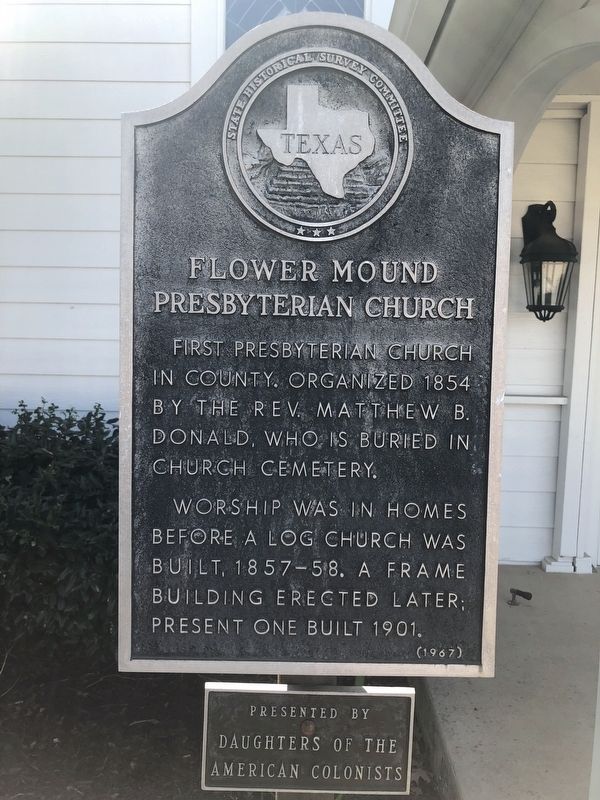
First Presbyterian Church in county. Organized 1854 by the Rev. Matthew B. Donald, who, is buried in church cemetery.
Worship was in homes before a log church was built, 1857-58. A frame building erected later, present one built 1901.
Erected 1967 by State Historical Survey Committee and Daughters of the American Colonists. (Marker Number 1927.)
Topics. This historical marker is listed in these topic lists: Religion & Religious Structures • Settlements & Settlers. A significant historical year for this entry is 1854.
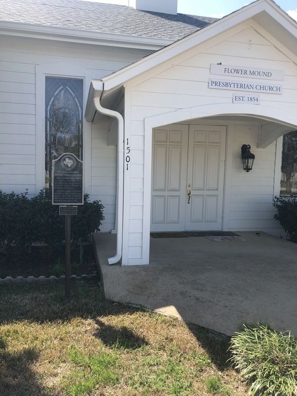
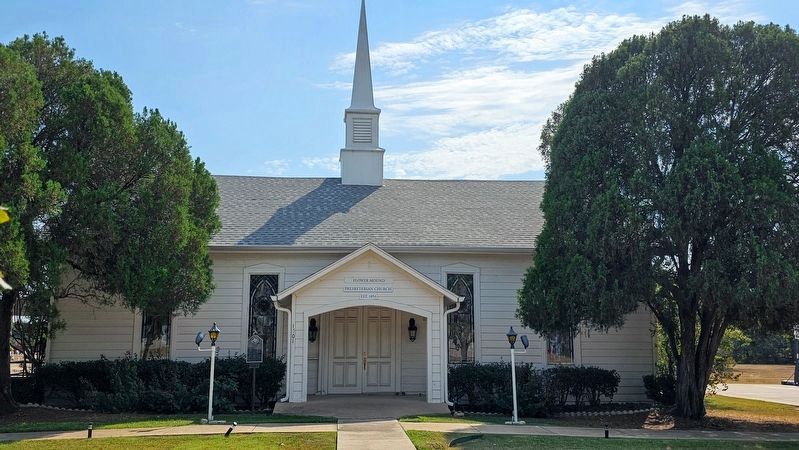
Location. 33° 0.806′ N, 97° 3.232′ W. Marker is in Flower Mound, Texas, in Denton County. It is on Flower Mound Road (County Road 3040) west of Strait Lane, on the right when traveling east. Touch for map. Marker is at or near this postal address: 1501 Flower Mound Road, Flower Mound TX 75028, United States of America. Touch for directions.

Regionally, this marker is in the Prairies & Lakes Region and in the Dallas-Fort Worth Metropolitan Area. Globally, it is in North America, a Gulf of Mexico state, the Western Hemisphere, the Western World, and the Anglosphere. Historically, it finds
this page online
Other nearby markers. At least 8 other markers are within 4 miles of this marker, measured as the crow flies: Flower Mound Cemetery (within shouting distance of this marker); Flower Mound (approx. ¾ mile away); McCombs Cemetery (approx. 1.4 miles away); The Peters Colony (approx. 2.7 miles away); Bethel Community (approx. 3.3 miles away); Gibson-Grant Log House (approx. 3.3 miles away); Old Hall Cemetery (approx. 3.8 miles away); McCurley Cemetery (approx. 3.8 miles away). Touch for a list and map of all markers in Flower Mound.
Photographed by J Frye, March 12, 2020
2. Flower Mound Presbyterian Church Marker
Photographed by J Frye, March 12, 2020
3. Flower Mound Presbyterian Church Marker
Photographed by Joe Lotz, October 11, 2024
4. Flower Mound Presbyterian Church Marker
Credits. This page was last revised on January 4, 2026. It was originally submitted on March 20, 2020, by J Frye of Fort Worth, Texas. This page has been viewed 478 times since then and 55 times this year. Last updated on October 16, 2024, by Joe Lotz of Flower Mound, Texas. Photos: 1. submitted on January 3, 2026, by Gary Estep of Anna, Texas. 2, 3. submitted on March 20, 2020, by J Frye of Fort Worth, Texas. 4. submitted on October 11, 2024, by Joe Lotz of Flower Mound, Texas. • Devry Becker Jones was the editor who published this page.
