Near Bayfield in Bayfield County, Wisconsin — The American Midwest (Great Lakes)
A Family Affair
Photographed by Connor Olson, October 18, 2024
1. A Family Affair Marker
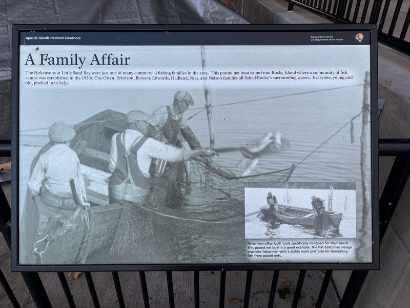
The Hokensons at Little Sand Bay were just one of many commercial fishing families in the area. This pound net boat came from Rocky Island where a community of fish camps was established in the 1930s. The Olsen, Erickson, Benson, Edwards, Hadland, Nies, and Nelson families all fished Rocky's surrounding waters. Everyone, young and old, pitched in to help.
Caption:
Fishermen often built tools specifically designed for their needs. This pound net boat is a good example. The flat-bottomed design provided fishermen with a stable work platform for harvesting fish from pound nets.
Erected by National Park Service.
Topics. This historical marker is listed in this topic list: Industry & Commerce.
Location. 46° 56.773′ N, 90° 53.4′ W. Marker is near Bayfield, Wisconsin, in Bayfield County. It is on Little Sand Bay Road. Touch for map. Marker is at or near this postal address: 32660 Little Sand Bay Rd, Bayfield WI 54814, United States of America. Touch for directions.

Regionally, this marker is on the North Shore. It is also in the American Midwest, in the Corn Belt,
this page online
Other nearby markers. At least 8 other markers are within 10 miles of this marker, measured as the crow flies: …the Forest for the Trees (here, next to this marker); Boom, Bust, and try to Adjust (a few steps from this marker); Living on the Edge (a few steps from this marker); Hokenson Brothers Fishery (within shouting distance of this marker); The Twilight Fishermen (within shouting distance of this marker); Steamer Sevona (within shouting distance of this marker); Cultural Fire Returns to Stockton Island (approx. 9.8 miles away); Bayfield Historic Waterfront (approx. 9.9 miles away). Touch for a list and map of all markers in Bayfield.
Credits. This page was last revised on October 24, 2024. It was originally submitted on October 19, 2024, by Connor Olson of Menomonee Falls, Wisconsin. This page has been viewed 143 times since then and 26 times this year. Photo 1. submitted on October 19, 2024, by Connor Olson of Menomonee Falls, Wisconsin. • J. Makali Bruton was the editor who published this page.
