Guilford in South Central Region, Connecticut — The American Northeast (New England)
The Munger Barn
Photographed by Conrad Ward, June 12, 2024
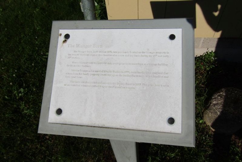
1. The Munger Barn Marker
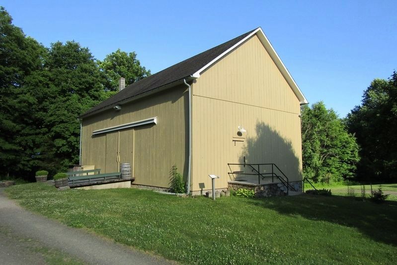
The Munger Barn, built around 1870, was previously located on the Munger property in the town of Madison where it first functioned as a cow and hay barn during the 19th and early 20th century.
Henry Munger used the barn for sixty years prior to its move here as a storage building for his lumber business.
Martha Munger, who married Erastus Dudley in 1875, could barely have imagined that a barn from her family property would end up on the Dudley Farm more than hundred and forty years later.
The barn was dismantled and moved to the Dudley Farm in 2002. Five years later a crew of one hundred volunteers raised it up to stand proud once again.
Erected by The Dudley Farm Museum.
Topics. This historical marker is listed in these topic lists: Notable Buildings • Settlements & Settlers. A significant historical year for this entry is 2002.
Location. 41° 21.247′ N, 72° 43.144′ W. Marker is in Guilford in South Central Region, Connecticut. It can be reached from Durham Road (Connecticut Route 77) north of Route 80, on the right when traveling north. Located at the Dudley Farm Museum. Touch for map. Marker is at
this page online

Regionally, this marker is in the Connecticut River Valley, on the Connecticut Shoreline, and in Greater New Haven. It is also in the American Northeast, in New England, and on the Eastern Seaboard. Globally, it is in the North Atlantic Region, North America, the Western Hemisphere, the Western World, and the Anglosphere. Historically, it finds itself in what was once New Haven County and also one of the original Thirteen Colonies.
Other nearby markers. At least 8 other markers are within walking distance of this marker: Ice House (within shouting distance of this marker); Bunkhouse and Wagon Shed (within shouting distance of this marker); Farm Shed (within shouting distance of this marker); Erastus Dudley House (within shouting distance of this marker); Sugarhouse (within shouting distance of this marker); Charcoal Making Site (within shouting distance of this marker); Barn Complex (within shouting distance of this marker); Mill Site (within shouting distance of this marker). Touch for a list and map of all
Photographed by Conrad Ward, June 12, 2024
2. The Munger Barn and Marker
Also see . . . The Dudley Farm Museum. (Submitted on October 19, 2024.)
Photographed by Conrad Ward, June 12, 2024
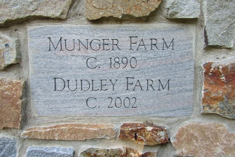
3. Stone Marker
Credits. This page was last revised on May 19, 2026. It was originally submitted on October 19, 2024, by Conrad Ward of Guilford, Connecticut. This page has been viewed 247 times since then and 23 times this year. Photos: 1, 2, 3. submitted on October 19, 2024, by Conrad Ward of Guilford, Connecticut. • Michael Herrick was the editor who published this page.
