McGaheysville in Rockingham County, Virginia — The American South (Mid-Atlantic)
McGaheysville War Memorial
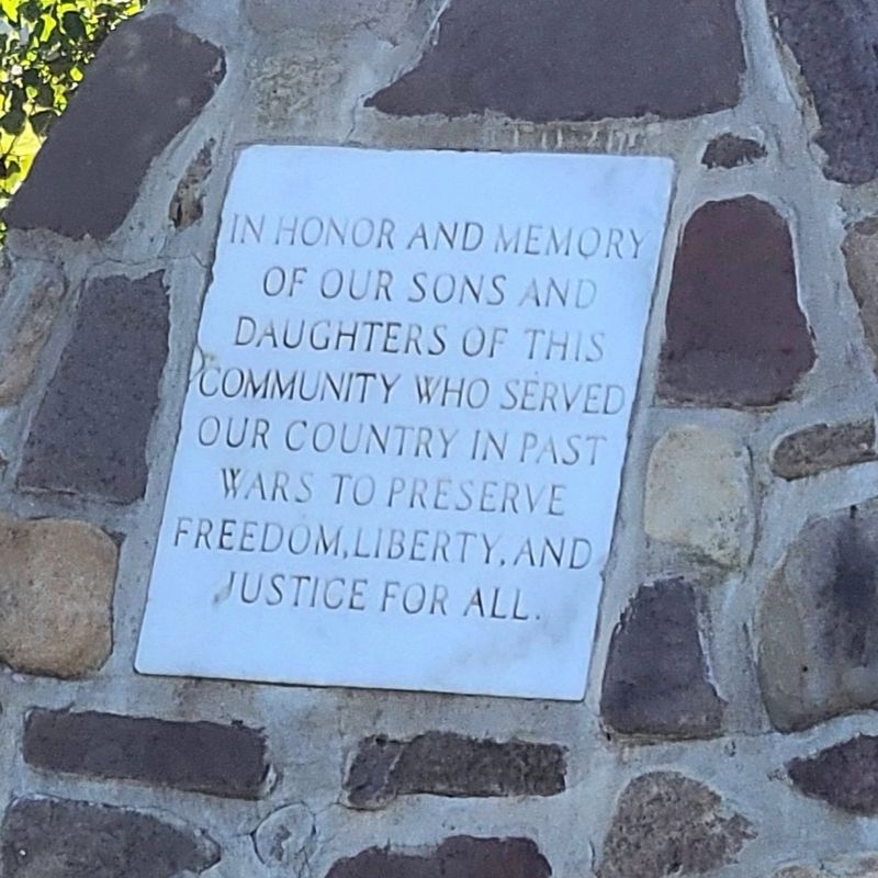
Photographed by J. J. Prats, October 19, 2024
1. McGaheysville War Memorial Marker
Topics. This memorial is listed in these topic lists: Military • War, World I.
Location. 38° 22.242′ N, 78° 44.064′ W. Memorial is in McGaheysville, Virginia, in Rockingham County. It is at the intersection of McGaheysville Road and Town Hall, Conn, and Cemetery Roads, on the right when traveling west on McGaheysville Road. Touch for map. Memorial is at or near this postal address: 9848 McGaheysville Rd, Mc Gaheysville VA 22840, United States of America. Touch for directions.

Regionally, this memorial is in Virginia’s Shenandoah Valley. It is also in the American South and specifically in the Upper South. Globally, it is in North America, the Western Hemisphere, the Western World, and the Anglosphere. Historically, it finds itself in what was once the territory of the Mississippian Culture, one of the original Thirteen Colonies, one of the Confederate States of America, and the Antebellum
this page online
Other nearby markers. At least 8 other markers are within 5 miles of this marker, measured as the crow flies: Peaked Mountain Church (within shouting distance of this marker); Revolutionary War Patriots Monument (within shouting distance of this marker); McGaheysville Store (about 400 feet away, measured in a direct line); a different marker also named Battle of Cross Keys (approx. 4.4 miles away); The Battle Dies Out (approx. 4.6 miles away); Walker's Flank Attack (approx. 4.7 miles away); The Attack on Buell's Battery (approx. 4.7 miles away); The 8th New York Advances (approx. 5 miles away). Touch for a list and map of all markers in McGaheysville.
Other markers no longer nearby. Battle of Cross Keys (was approx. 4.4 miles away but has been replaced with another marker now near it); a different marker also named Battle of Cross Keys (was approx. 4.6 miles away but has been replaced with another marker now near it); a different marker also named Battle of Cross Keys (was approx. 4.7 miles away but has been replaced with another marker now near it); a different marker also named Battle of Cross Keys (was approx.
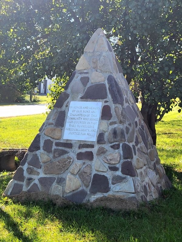
Photographed by J. J. Prats, October 19, 2024
2. McGaheysville War Memorial
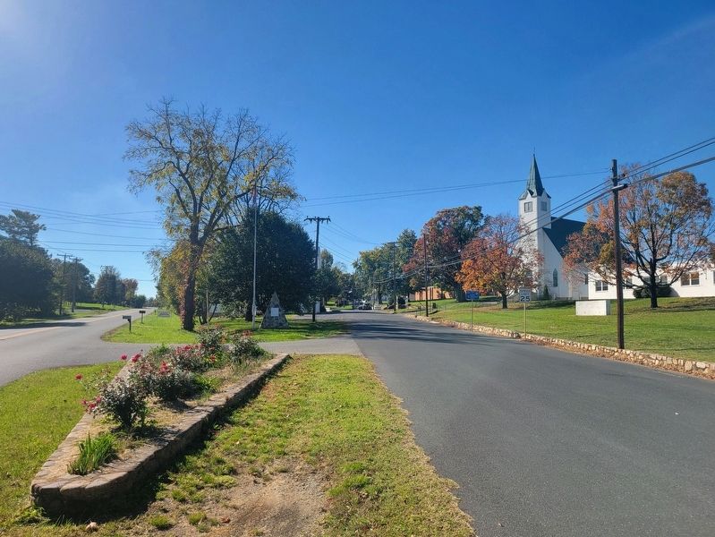
Photographed by J. J. Prats
3. McGaheysville War Memorial
Pyramid-shaped memorial is in shadow in the distance in the median between the flagpole and the electric pole. McGaheysville Road is on the left, Town Hall Road is on the right.
Credits. This page was last revised on October 19, 2024. It was originally submitted on October 19, 2024, by J. J. Prats of Powell, Ohio. This page has been viewed 195 times since then and 14 times this year. Photos: 1, 2, 3. submitted on October 19, 2024, by J. J. Prats of Powell, Ohio.
Editor’s want-list for this marker. What organization erected it • when was it erected • perhaps a newspaper photo if its dedication • Can you help?
