
Richmond in Madison County, Kentucky — The American South (East South Central)
Lynwood, Brutus Clay II/Pattie A. Clay
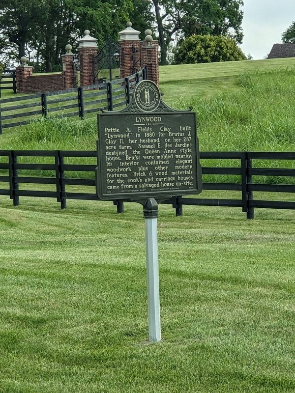
Photographed by Bruce InCharlotte, July 30, 2023
1. Lynwood Marker
Pattie A. Fields Clay built “Lynwood” in 1880 for Brutus J. Clay II, her husband, on her 287 acre farm. Samuel E. des Jardins designed the Queen Anne style house. Bricks were molded nearby. Its interior contained elegant woodwork plus other modern features. Brick & wood materials for the cook’s and carriage houses came from a salvaged house on-site.
Reverse Side
Brutus Clay II/Pattie A. Clay
Married in 1872, they had 5 children. Brutus Clay II was a successful businessman, farmer, and federal emissary. Pattie A. Clay spent much time from her youth tending to the sick and infirm. When she died in 1891 at age 33, he honored her memory by donating a house on Glyndon Avenue as a public infirmary. The name, Pattie A. Clay Hospital, was used until 2012.
Erected 2019 by Kentucky Historical Society and Kentucky Department of Highways. (Marker Number 2573.)
Topics. This historical marker is listed in these topic lists: Architecture • Charity & Public Work. A significant historical year for this entry is 1880.
Location. 37° 45.889′ N, 84° 18.608′ W. Marker is in Richmond, Kentucky, in Madison County. It is on
this page online

Regionally, this marker is in the American South, specifically in the Upper South, in Appalachia, and specifically in Southern Appalachia. Globally, it is in North America, the Western Hemisphere, the Western World, and the Anglosphere. Historically, it finds itself in what was once the territory of the Mississippian Culture and also the Antebellum South.
Other nearby markers. At least 8 other markers are within 2 miles of this marker, measured as the crow flies: Christopher (Kit) Carson (approx. 0.7 miles away); Kit Carson-Legend of the Old West (approx. 0.7 miles away); Angels of the Battlefield (approx. 1.1 miles away); Gov. James B. McCreary (approx. 1.2 miles away); A Chaotic and Frenzied Retreat (approx. 1.2 miles away); Richmond's Tuskegee Airmen (approx. 1.2 miles away); James B. McCreary Hall of Justice (approx. 1.3 miles away); Frances E. Beauchamp / Prohibition Advocate (approx. 1.3 miles away). Touch for a list and map of all markers in Richmond.
Credits. This page was last revised on October 21, 2024. It was originally submitted on October 20, 2024, by Bruce InCharlotte of Charlotte, North Carolina. This page has been viewed 194 times since then and 50 times this year. Photo 1. submitted on October 20, 2024, by Bruce InCharlotte of Charlotte, North Carolina. • James Hulse was the editor who published this page.
Editor’s want-list for this marker. Closeup photo of the reverse side of the marker • Can you help?
