West Brunswick Township near Orwigsburg in Schuylkill County, Pennsylvania — The American Northeast (Mid-Atlantic)
Zion's (Red) Church
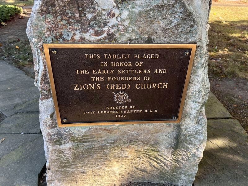
in honor of
the early settlers and
the founders of
Zion's (Red) Church
Erected 1937 by Fort Lebanon Chapter, Daughters of the American Revolution.
Topics and series. This historical marker is listed in these topic lists: Religion & Religious Structures • Settlements & Settlers. In addition, it is included in the Daughters of the American Revolution (DAR) series list.
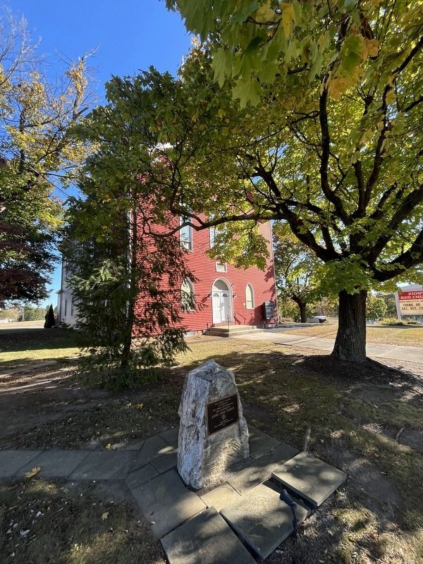
Location. 40° 38.355′ N, 76° 4.683′ W. Marker is near Orwigsburg, Pennsylvania, in Schuylkill County. It is in West Brunswick Township. It is on Centre Turnpike (Pennsylvania Route 61) 0.1 miles east of Brick Hill Road, on the right when traveling west. Touch for map. Marker is at or near this postal address: 1137 Brick Hill Rd, Orwigsburg PA 17961, United States of America. Touch for directions.

Regionally, this marker is in Pennsylvania’s Anthracite Coal Region. It is also in the American Northeast, in the Mid-Atlantic, in Appalachia, and specifically in Northern Appalachia. Globally, it is in North America, the Western Hemisphere, the Western World, and
this page online
Other nearby markers. At least 8 other markers are within walking distance of this marker: World War II Memorial (a few steps from this marker); Propane Tanker Explosion (a few steps from this marker); Bernie Pollack (approx. 0.9 miles away); Jack Dempsey (approx. 0.9 miles away); Muhammad Ali Training Camp (approx. 0.9 miles away); Sonny Liston (approx. 0.9 miles away); Muhammad Ali (approx. 0.9 miles away); Joe Frazier (approx. 0.9 miles away). Touch for a list and map of all markers in Orwigsburg.
Credits. This page was last revised on October 20, 2024. It was originally submitted on October 20, 2024, by Devry Becker Jones of Washington, District of Columbia. This page has been viewed 239 times since then and 33 times this year. Photos: 1, 2. submitted on October 20, 2024, by Devry Becker Jones of Washington, District of Columbia.
