Rheinau in Schwetzingen in Rhein-Neckar-Kreis, Baden-Württemberg, Germany — Central Europe
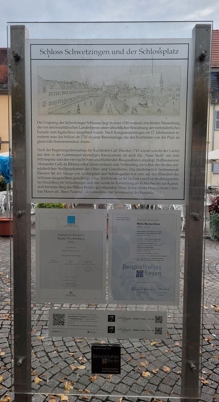
Schloss Schwetzingen und der Schlossplatz
⎯⎯⎯
Schwetzingen Palace and the Palace Square
Photographed by James Hulse, September 23, 2024
1. Schloss Schwetzingen und der Schlossplatz / Schwetzingen Palace and the Palace Square Marker

Der Ursprung des Schwetzinger Schlosses liegt in einer 1350 erstmals erwähnten Wasserburg, die von den kurpfälzischen Landesherren unter absichtlicher Bewahrung der mittelalterlichen Fassade zum Jagdschloss ausgebaut wurde. Nach Kriegszerstörungen im 17. Jahrhundert erweiterte man das Schloss ab 1710 zu einer Barockanlage, die den Kurfürsten von der Pfalz als glanzvolle Sommerresidenz diente.
Nach der Regierungsübernahme des Kurfürsten Carl Theodor 1743 wurde sowohl der Garten mit dem in der Gartenkunst einmaligen Kreisparterre als auch die „Neue Stadt" mit dem Schlossplatz und den vier nach Osten anschließenden Bauquadraten angelegt. Hofbaumeister Alessandro Galli da Bibiena schuf damit erstmals eine Verbindung zwischen den beiden mittelalterlichen Siedlungskernen des Ober- und Unterdorfes. Das städtebaulich bestimmende Element bei der Anlage von Schlossplatz und Schlossgarten war eine auf den Ehrenhof des Schlosses ausgerichtete geradlinige Allee. Noch heute ist ihr Verlauf vom Fuß des Königstuhls bei Heidelberg bis Schwetzingen und ihre westliche Fortsetzung als Sichtachse bis zur Kalmit, dem höchsten Berg des Pfälzer Waldes gut erkennbar. Diese Achse diente Hofastronom Christian Mayer als,,Basis Palatina", als Grundlinie zur Vermessung der Kurpfalz.
The origins of Schwetzingen Palace lie in a moated castle first mentioned in 1350, which was expanded into a hunting lodge by the Electoral Palatinate lords while intentionally preserving the medieval facade. After war damage in the 17th century, the castle was expanded from 1710 onwards into a baroque complex that served as a splendid summer residence for the Electors of the Palatinate.
After Elector Carl Theodor took power in 1743, both the garden with the circular parterre, unique in garden design, and the "New
this page online
Topics. This historical marker is listed in this topic list: Notable Buildings. A significant historical year for this entry is 1350.
Location. 49° 23.056′ N, 8° 34.372′ E. Marker is in Schwetzingen, Baden-Württemberg, in Rhein-Neckar-Kreis. It is in Rheinau. It is at the intersection of Schloßplatz and Karlsruher Str., on the left when traveling west on Schloßplatz.
Photographed by James Hulse, September 23, 2024
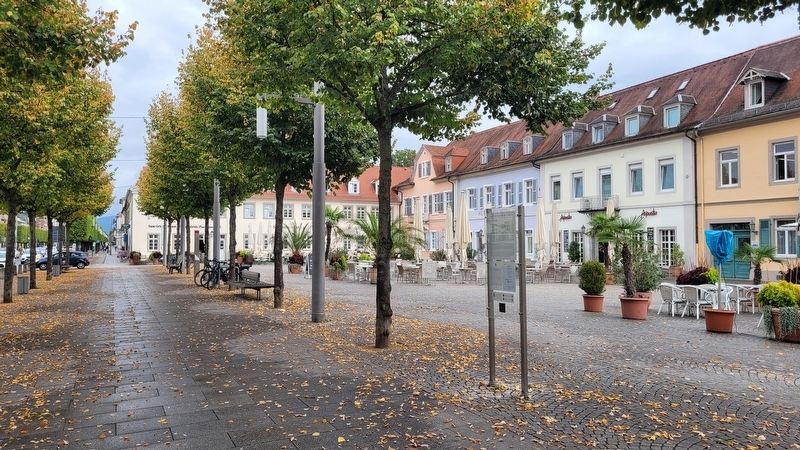
2. The view of the Marker along the street

Regionally, this marker is on the German Upper Rhine. Globally, it is in Europe, the European Union, Atlantic Europe, Central Europe, the Schengen Area, Western Europe, and the Western World. Historically, it finds itself in what was once the Roman Empire, the Holy Roman Empire, and the former West Germany.
Other nearby markers. At least 8 other markers are within walking distance of this marker: Glücksschwein / Lucky Pig (within shouting distance of this marker); Altes Gasthaus „Zum Ochsen” / Old Inn "Zum Ochsen" (within shouting distance of this marker); Rabaliatti-Haus / Rabaliatti House (within shouting distance of this marker); Nicolas de Pigage (about 90 meters away, measured in a direct line); Ein Paradies der Tonkünstler / A Paradise for Musicians (about 120 meters away); Im Paradies der Tonkünstler / In the Paradise of Music Artists (about 120 meters away); "Ein Paradies der Tonkünstler - HörBar" / "A paradise for sound artists - HörBar" (about
Photographed by James Hulse, September 23, 2024
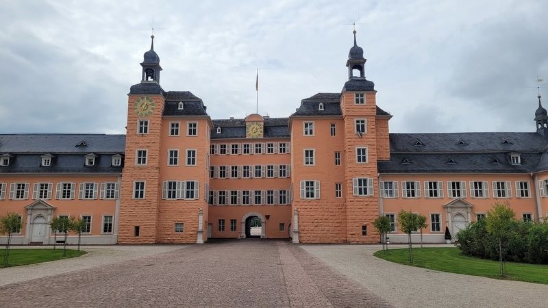
3. The view of the Schwetzingen Palace from the street
Photographed by James Hulse, September 23, 2024
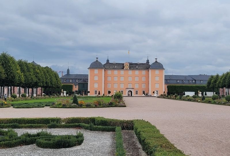
4. The Schwetzingen Palace from inside the the Palace Square
Credits. This page was last revised on October 23, 2024. It was originally submitted on October 22, 2024, by James Hulse of Medina, Texas. This page has been viewed 132 times since then and 24 times this year. Photos: 1, 2, 3, 4. submitted on October 23, 2024, by James Hulse of Medina, Texas.
