Port Huron in St. Clair County, Michigan — The American Midwest (Great Lakes)
Fort Gratiot
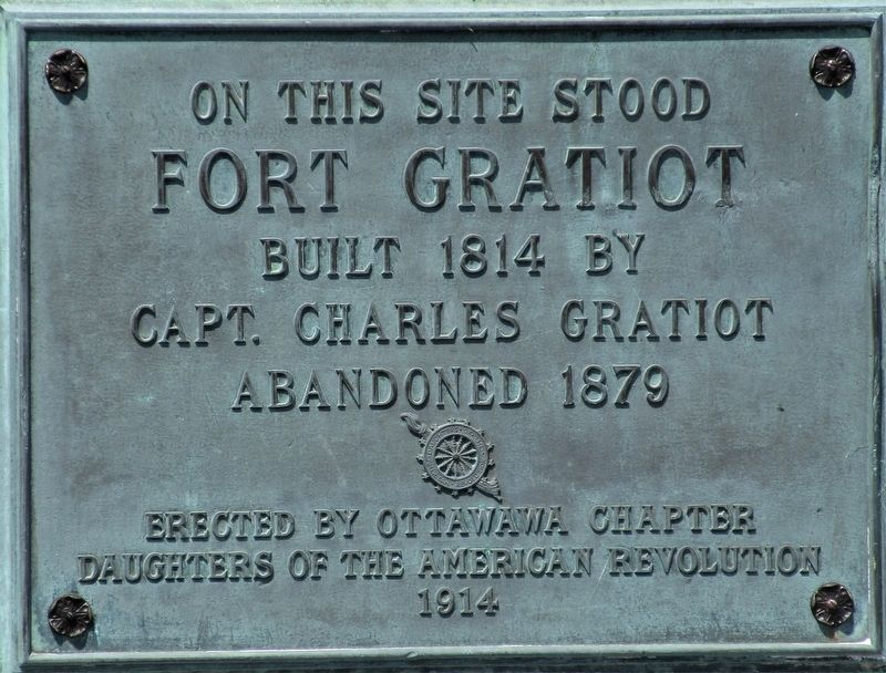
Photographed by Rev. Ronald Irick, May 10, 2022
1. Fort Gratiot Marker
On this site stood Fort Gratiot
Built 1814 by Capt. Charles Gratiot
Abandoned 1879
Erected by Ottawawa Chapter
Daughters of the American Revolution
1914
Erected 1914 by Ottawawa Chapter, Daughters of the American Revolution.
Topics and series. This historical marker is listed in these topic lists: Military • War of 1812. In addition, it is included in the Daughters of the American Revolution (DAR) series list. A significant historical year for this entry is 1814.
Location. 42° 59.729′ N, 82° 25.676′ W. Marker is in Port Huron, Michigan, in St. Clair County. It is at the intersection of Thomas Edison Parkway and Thomas Edison Drive, on the left when traveling north on Thomas Edison Parkway. Touch for map. Marker is at or near this postal address: 1456 Thomas Edison Parkway, Port Huron MI 48060, United States of America. Touch for directions.

Regionally, this marker is in Southeast Michigan and in one of the Lake Huron Shore counties. It is also in the American Midwest. Globally, it is in North America, on the Great Lakes, in the Western Hemisphere, in the Western World, and in the Anglosphere.
this page online
Other nearby markers. At least 8 other markers are within walking distance of this marker: Giants of the Great Lakes (about 300 feet away, measured in a direct line); Sacred Grounds (about 400 feet away); Fort Gratiot - The Sentinel of the Shore (about 700 feet away); River Wrecks (approx. 0.2 miles away); Thomas Alva Edison (approx. 0.2 miles away); Traversing The River (approx. 0.2 miles away); Underground Railroad (approx. ¼ mile away); Wilderness Outpost (approx. ¼ mile away). Touch for a list and map of all markers in Port Huron.
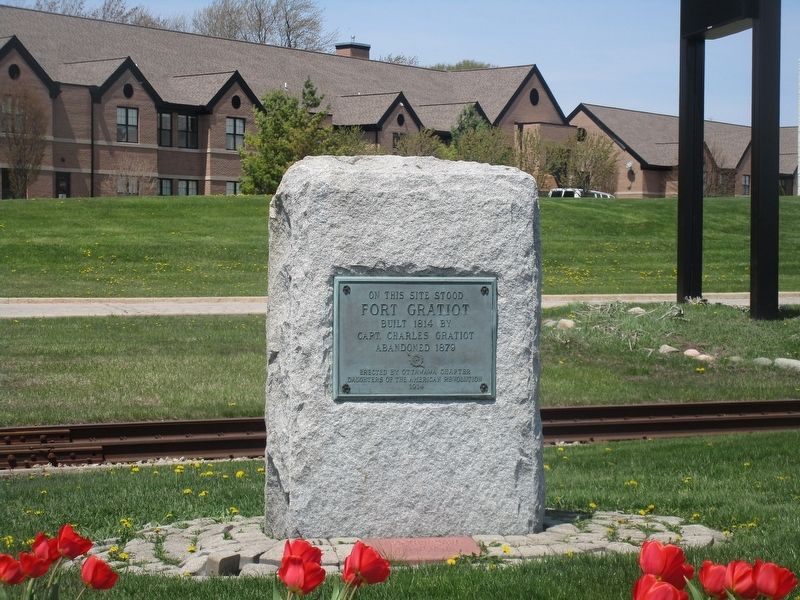
Photographed by Rev. Ronald Irick, May 10, 2022
2. Fort Gratiot Marker
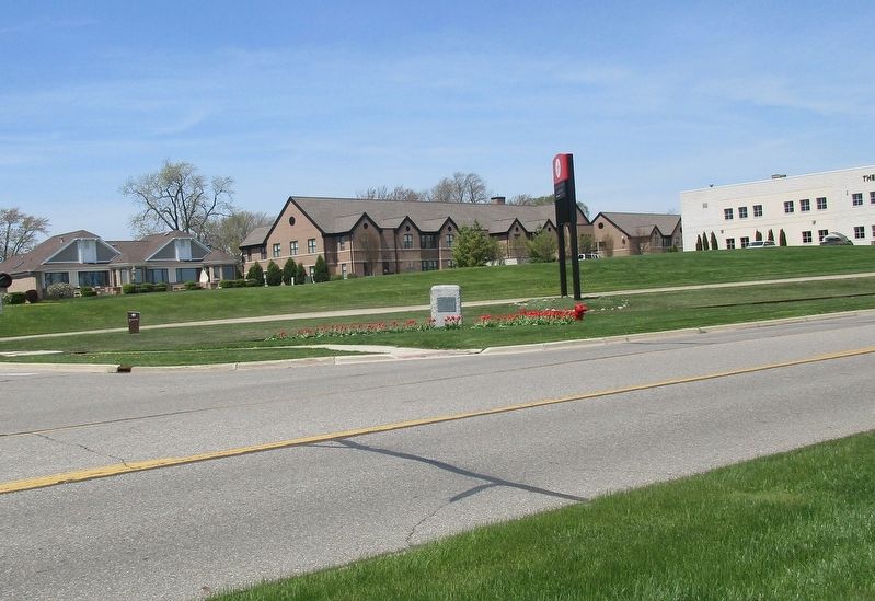
Photographed by Rev. Ronald Irick, May 10, 2022
3. Fort Gratiot Marker
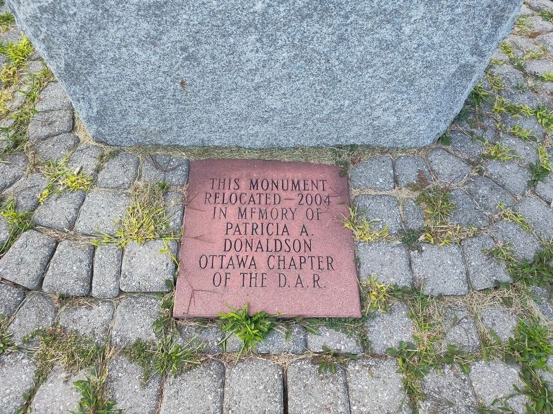
Photographed by Craig Doda, August 25, 2024
4. Fort Gratiot Marker
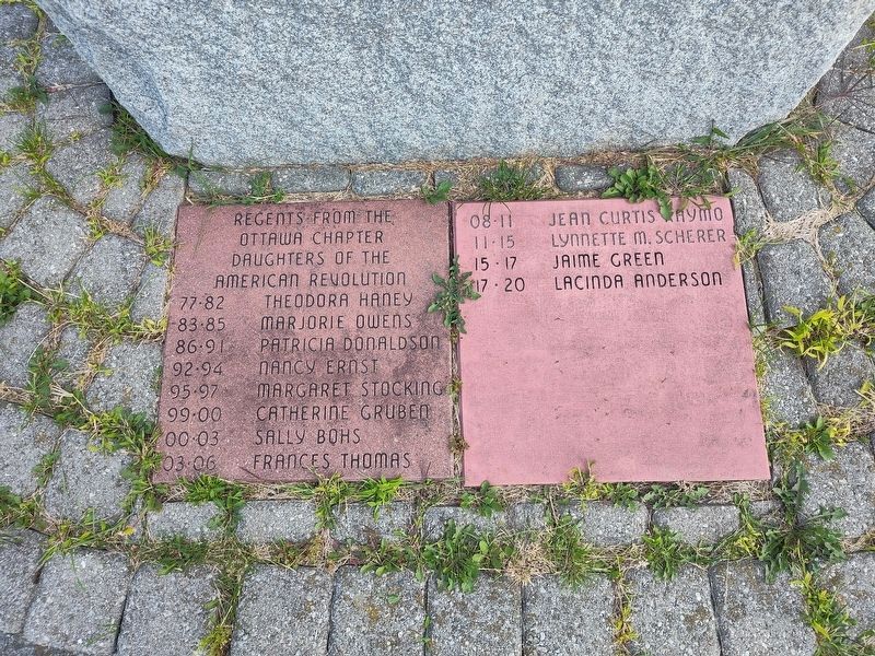
Photographed by Craig Doda, August 25, 2024
5. Fort Gratiot Marker
Credits. This page was last revised on October 24, 2024. It was originally submitted on May 11, 2022, by Rev. Ronald Irick of West Liberty, Ohio. This page has been viewed 648 times since then and 73 times this year. Last updated on October 22, 2024, by Trevor L Whited of Kokomo, Indiana. Photos: 1, 2, 3. submitted on May 11, 2022, by Rev. Ronald Irick of West Liberty, Ohio. 4, 5. submitted on August 28, 2024, by Craig Doda of Napoleon, Ohio. • Devry Becker Jones was the editor who published this page.
