Oshawa in Durham Region, Ontario — Central Canada (North America)
The John Bolase Warren Flour Mill
Photographed by Tim Boyd, October 3, 2024
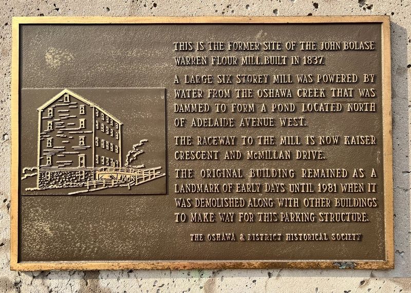
1. The John Bolase Warren Flour Mill Marker
This is the former site of the John Bolase Warren flour mill, built in 1837.
A large six storey mill was powered by water from the Oshawa Creek that was dammed to form a pond located north of Adelaide Avenue West.
The raceway to the mill is now Kaiser Crescent and McMillan Drive.
The original building remained as a landmark of early days until 1981 when it was demolished along with other buildings to make way for this parking structure.
Erected by The Oshawa & District Historical Society.
Topics. This historical marker is listed in this topic list: Industry & Commerce. A significant historical year for this entry is 1837.
Location. 43° 53.8′ N, 78° 52.08′ W. Marker is in Oshawa, Ontario, in Durham Region. It is on King Street West 0.2 kilometers west of Centre Street North, on the left when traveling east. Touch for map. Marker is at or near this postal address: 126 King Street West, Oshawa ON L1H 3Z7, Canada. Touch for directions.

Regionally, this marker is in Greater Toronto, specifically on the Golden Horseshoe, in the York, Durham and Headwaters Area, and in the Toronto Metropolitan Area.
this page online
Other nearby markers. At least 8 other markers are within walking distance of this marker: Oshawa's Famous "Generals" (about 120 meters away, measured in a direct line); City of Oshawa (about 150 meters away); Victorian Order of Nurses 100th Anniversary (about 210 meters away); Steeple Bell (about 210 meters away); General Motors of Canada (approx. 0.3 kilometers away); Oshawa 1935 (approx. 0.3 kilometers away); Historical Industry and Labour (approx. 0.3 kilometers away); Kingston Road Stage Coach (approx. 0.4 kilometers away). Touch for a list and map of all markers in Oshawa.
Photographed by Tim Boyd, October 3, 2024
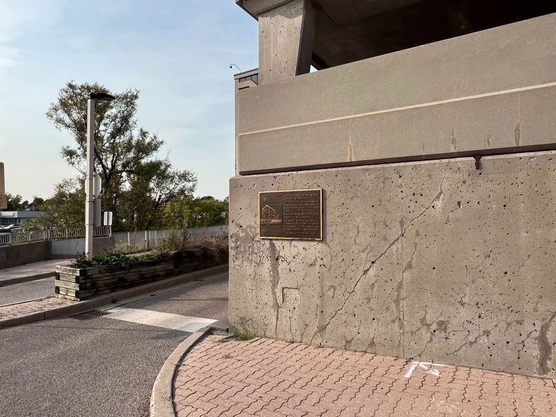
2. The John Bolase Warren Flour Mill Marker
Note the 1837 date stone from the mill below the marker
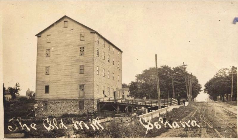
circa 1900
3. The Warren Mill ca 1900
Source: Oshawa public Library (public domain)
Credits. This page was last revised on October 23, 2024. It was originally submitted on October 22, 2024, by Tim Boyd of Hamilton, Ontario. This page has been viewed 234 times since then and 29 times this year. Photos: 1, 2, 3. submitted on October 22, 2024, by Tim Boyd of Hamilton, Ontario. • Andrew Ruppenstein was the editor who published this page.
