Bel Alton in Charles County, Maryland — The American Northeast (Mid-Atlantic)
Bel Alton High School

Photographed by Tim Fillmon, September 10, 2024
1. Bel Alton High School Marker
Erected 2015 by Charles County Board of Commissioners.
Topics. This historical marker is listed in these topic lists: African Americans • Education. A significant historical year for this entry is 1938.
Location. 38° 27.113′ N, 76° 59.434′ W. Marker is in Bel Alton, Maryland, in Charles County. It is on Robert S. Crain Highway (U.S. 301) just south of Irving Road, on the right when traveling south. Touch for map. Marker is at or near this postal address: 9501 Robert S Crain Highway, Bel Alton MD 20611, United States of America. Touch for directions.

Regionally, this marker is in the Washington Metropolitan Area and in Southern Maryland. It is also in the American South, specifically in the Upper South, in the Mid-Atlantic, in the Tidewater, and on the Eastern Seaboard. Globally, it is in
this page online
Other nearby markers. At least 8 other markers are within 2 miles of this marker, measured as the crow flies: John Wilkes Booth (approx. ¾ mile away); John Wilkes Booth and David Herold (approx. 0.8 miles away); Pine Thicket (approx. 0.8 miles away); "Huckleberry" (approx. 1.8 miles away); a different marker also named Rich Hill (approx. 1.9 miles away); Rich Hill Through the Years (approx. 1.9 miles away); Rich Hill Farm in the 19th Century: Samuel Cox and his Award-Winning Farm (approx. 1.9 miles away); Archaeology Provides a Key to the History of Rich Hill (approx. 1.9 miles away). Touch for a list and map of all markers in Bel Alton.
Another marker is no longer nearby. Rich Hill (was approx. 1.8 miles away but has been confirmed missing).
Also see . . . Bel Alton High School Alumni Association. (Submitted on October 24, 2024, by Tim Fillmon of Webster, Florida.)
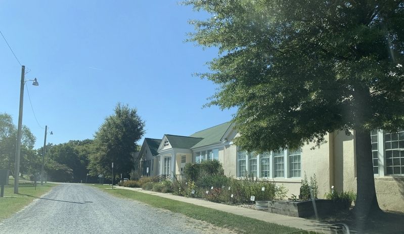
Photographed by Tim Fillmon, September 10, 2024
2. Bel Alton High School Marker
Credits. This page was last revised on October 24, 2024. It was originally submitted on October 23, 2024, by Tim Fillmon of Webster, Florida. This page has been viewed 1,183 times since then and 132 times this year. Photos: 1. submitted on October 23, 2024, by Tim Fillmon of Webster, Florida. 2. submitted on October 24, 2024, by Tim Fillmon of Webster, Florida.
