Thomaston in Knox County, Maine — The American Northeast (New England)
Captain George Waymouth's Landing
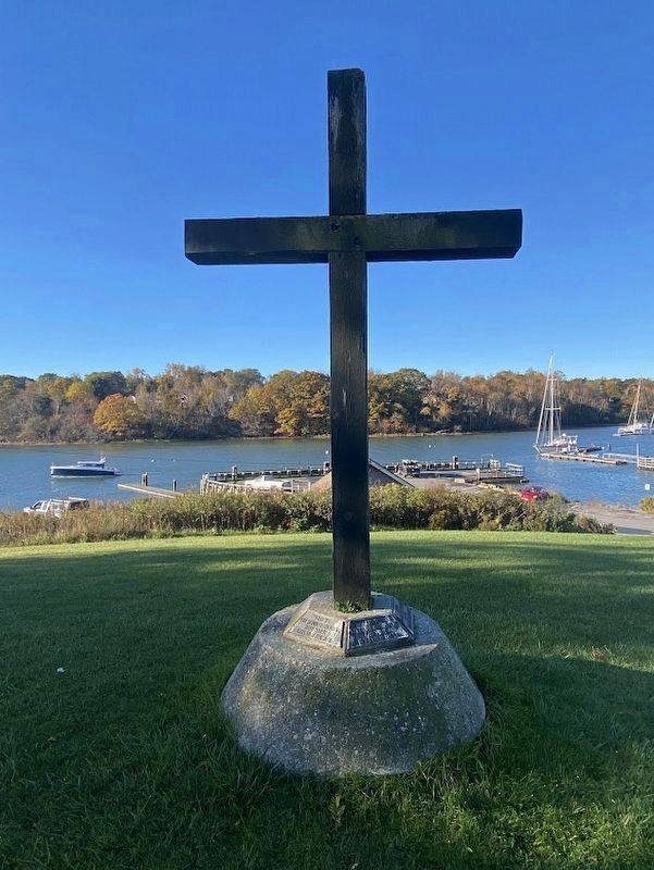
Photographed by Darren Jefferson Clay, October 15, 2024
1. Captain George Weymouth's Landing Marker
Commemorating Captain George Waymouth's landing here - June 12, 1605.
Erected by the Thomaston Clergy and the Bicentennial Committee for 1977
"That we, the menne of England, have marked this spot for home and if they dare uproot itte God turn it to their loss! Beside Saynte George's River we left Sainte George's crosse."
Erected 1977 by Thomaston Clergy and the Bicentennial Committee.
Topics. This historical marker is listed in this topic list: Exploration. A significant historical date for this entry is June 12, 1605.
Location. 44° 4.336′ N, 69° 10.926′ W. Marker is in Thomaston, Maine, in Knox County. It is on Water Street south of Public Landing, on the right when traveling east. Touch for map. Marker is in this post office area: Thomaston ME 04861, United States of America. Touch for directions.

Regionally, this marker is in Midcoast Maine and on Penobscot Bay. It is also in the American Northeast, in New England, and on the Eastern Seaboard. Globally, it is in the North Atlantic Region, North America, the Western Hemisphere, the Western World, and the Anglosphere.
Other nearby markers. At least 8 other markers
this page online
Also see . . . George Weymouth (Wikipedia). (Submitted on October 31, 2024, by Michael Herrick of Southbury, Connecticut.)
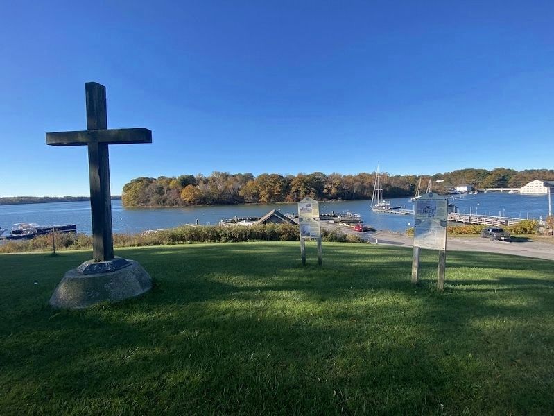
Photographed by Darren Jefferson Clay, October 15, 2024
2. Captain George Weymouth's Landing Marker
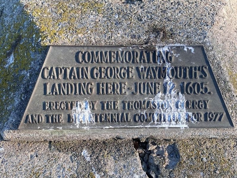
Photographed by Darren Jefferson Clay, October 15, 2024
3. Captain George Weymouth's Landing Marker

Photographed by Darren Jefferson Clay, October 15, 2024
4. Captain George Weymouth's Landing Marker

Photographed by Darren Jefferson Clay, October 15, 2024
5. Captain George Weymouth's Landing Marker

Photographed by Darren Jefferson Clay, October 15, 2024
6. Captain George Weymouth's Landing Marker
Credits. This page was last revised on October 31, 2024. It was originally submitted on October 26, 2024, by Darren Jefferson Clay of Duluth, Georgia. This page has been viewed 282 times since then and 67 times this year. Photos: 1, 2, 3, 4, 5, 6. submitted on October 26, 2024, by Darren Jefferson Clay of Duluth, Georgia. • Michael Herrick was the editor who published this page.
