Thomaston in Knox County, Maine — The American Northeast (New England)
A Unique Pumper and Old Fire Houses
Thomaston, Maine
| — | The Museum in the Streets | — |
Photographed by Darren Jefferson Clay, October 15, 2024
1. A Unique Pumper and Old Fire Houses Marker
A Unique Pumper and Old Fire Houses
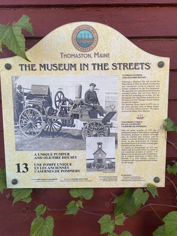
Following a disastrous fire that leveled the Watts Block in 1915, the Board of Selectmen and townspeople voted to purchase new modern equipment for the fire department. The apparatus was a gasoline powered Eureka pumping machine that was horse drawn. It was the best technology for its time. For the photograph, Fire Chief Edwin Anderson sat at the front and Town Manager Harold Putnam stood on the tailgate.
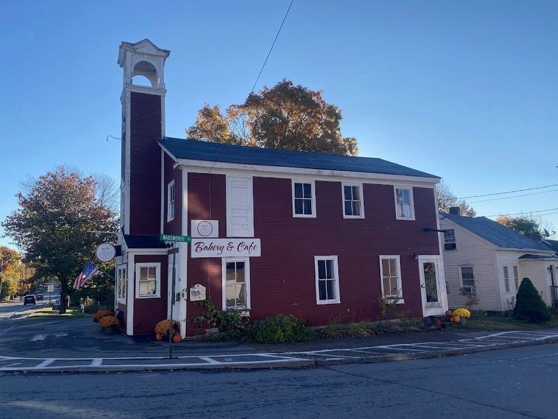
The firehouse, shown below in 1870, was on the prison grounds. State of Maine Engine No. 3 is in front with its hosecart. The engine is now in the Maine State Museum.
Une Pompe Unique et les Anciennes Casernes de Pompiers
Suite au grand incendie de 1915 qui a notamment ravagé le Watts Hall, les conseiller municipaux prennent la décision d'investir dans du matériel plus moderne pour la caserne. La pompe Euréka, sur la photo de droite, la plus performante de l'époque, fonctionnait grâce à un moteur à essence thais était tirée par des chevaux.
La caserne, ici photographiée en 1870, était située à côté de la prison d'Etat. La caserne et son équipement portaient le numéro 3 du Maine,
this page online
Erected by The Museum in the Streets. (Marker Number 13.)
Topics. This historical marker is listed in this topic list: Charity & Public Work.
Location. 44° 4.662′ N, 69° 11.472′ W. Marker is in Thomaston, Maine, in Knox County. It is at the intersection of Main Street (U.S. 1) and Wadsworth Street, on the right when traveling east on Main Street. Touch for map. Marker is at or near this postal address: 350 Main Street, Thomaston ME 04861, United States of America. Touch for directions.

Regionally, this marker is in Midcoast Maine and on Penobscot Bay. It is also in the American Northeast, in New England, and on the Eastern Seaboard. Globally, it is in the North Atlantic Region, North America, the Western Hemisphere, the Western World, and the Anglosphere.
Other nearby markers. At least 8 other markers are within walking distance of this marker: Near the Old Prison / À Coté de l'Ancienne Prison
Photographed by Darren Jefferson Clay, October 15, 2024
2. A Unique Pumper and Old Fire Houses Marker
Credits. This page was last revised on November 2, 2024. It was originally submitted on October 27, 2024, by Darren Jefferson Clay of Duluth, Georgia. This page has been viewed 234 times since then and 36 times this year. Photos: 1, 2. submitted on October 27, 2024, by Darren Jefferson Clay of Duluth, Georgia. • Michael Herrick was the editor who published this page.
