Ridgeland in Madison County, Mississippi — The American South (East South Central)
Historic Churches
| — | Ridgeland History Trail | — |
Photographed by Mark Hilton, October 25, 2024
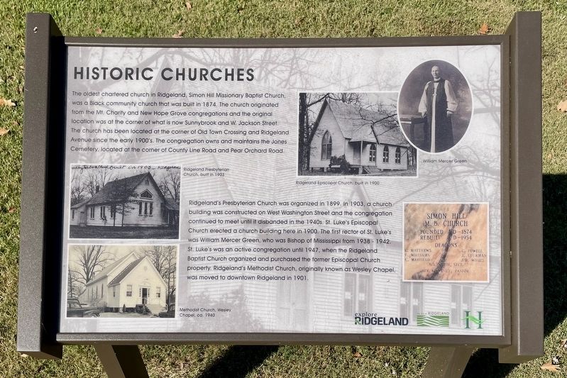
1. Historic Churches Marker
The oldest chartered church in Ridgeland, Simon Hill Missionary Baptist Church, was a Black community church that was built in 1874. The church originated from the Mt. Charity and New Hope Grove congregations and the original location was at the corner of what is now Sunnybrook and W. Jackson Street. The church has been located at the corner of Old Town Crossing and Ridgeland Avenue since the early 1900's. The congregation owns and maintains the Jones Cemetery, located at the corner of County Line Road and Pear Orchard Road.
Ridgeland's Presbyterian Church was organized in 1899. In 1903, a church building was constructed on West Washington Street and the congregation continued to meet until it disbanded in the 1940s. St. Luke's Episcopal Church erected a church building here in 1900. The first rector of St. Luke's was William Mercer Green, who was Bishop of Mississippi from 1938 - 1942. St. Luke's was an active congregation until 1947, when the Ridgeland Baptist Church organized and purchased the former Episcopal Church property. Ridgeland's Methodist Church, originally known as Wesley Chapel, was moved
this page online
Erected 2024 by the City of Ridgeland. (Marker Number 7.)
Topics. This historical marker is listed in this topic list: Religion & Religious Structures. A significant historical year for this entry is 1874.
Location. 32° 25.724′ N, 90° 8.192′ W. Marker is in Ridgeland, Mississippi, in Madison County. It is at the intersection of West Jackson Street and North Perkins Street, on the right when traveling west on West Jackson Street. Touch for map. Marker is at or near this postal address: 302 W Jackson St, Ridgeland MS 39157, United States of America. Touch for directions.

Regionally, this marker is in Natchez Trace Corridor and in Greater Jackson. It is also in the American South and specifically in the Deep South. Globally, it is in North America, a Gulf of Mexico state, the Western Hemisphere, the Western World, and the Anglosphere. Historically, it finds itself in what was once the territory of the Mississippian Culture, one of the Confederate States of America, and the Antebellum South.
Other nearby markers. At least 8 other markers are within walking distance of this marker: Wesley Chapel Methodist Church
Photographed by Mark Hilton, October 25, 2024
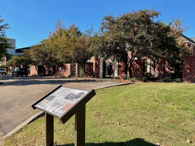
2. View of marker & First Ridgeland Baptist Church.
Photographed by Mark Hilton, October 25, 2024
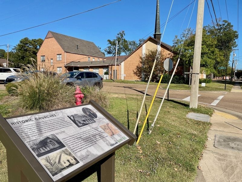
3. View of marker & Old Town Wesley Church.
Credits. This page was last revised on October 28, 2024. It was originally submitted on October 27, 2024, by Mark Hilton of Montgomery, Alabama. This page has been viewed 237 times since then and 57 times this year. Photos: 1, 2, 3. submitted on October 27, 2024, by Mark Hilton of Montgomery, Alabama.
