
Bryce Canyon City in Garfield County, Utah — The American Mountains (Southwest)
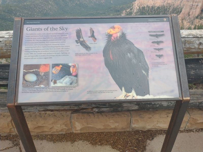
Giants of the Sky
Photographed by Tom Bosse, July 25, 2024
1. Giants of the Sky Marker
[Caption]: Turkey vultures are often mistaken for the much larger California condor.
[Caption]: Female condors lay one egg every other year. Both parents incubate the egg and care for their offspring. A chick fledges (flies) by six months, but may stay with its parents for 1-2 years. Identification tags help biologists track medical histories and behavioral patterns.
[Caption]: A California condor’s head and
this page online
[Caption]: Wingspan Comparisons.
California condor up to 9.8 feet (2.8 m)
Golden Eagle up to 7.2 feet (2.1 m)
Turkey vulture up to 5.8 feet (1.7 m)
Raven up to 3.8 feet (1.1 m)
A bird’s wingspan is the measurement from wing tip to wing tip.
Erected by National Park Service, U.S. Department of the Interior.
Topics. This historical marker is listed in this topic list: Animals. A significant historical month for this entry is July 1999.
Location. 37° 32.683′ N, 112° 14.829′ W. Marker is in Bryce Canyon City, Utah, in Garfield County. It can be reached from Main Park Road (Utah Route 63), on the right when traveling north. Marker is located at Fairview Point in Bryce Canyon National Park. Touch for map. Marker is in this post office area: Bryce UT 84764, United States of America. Touch for directions.

Regionally, this marker is in Canyon Country and specifically in Color Country. It is also in the American Mountain West, on the Colorado Plateau, and at the Four Corners. Globally, it is in North America, the Western Hemisphere, the Western World, and


Photographed by Tom Bosse, July 25, 2024
2. Giants of the Sky Marker
Other nearby markers. At least 8 other markers are within 7 miles of this marker, measured as the crow flies: A Forest Reborn (approx. one mile away); Fighting Fire with Fire (approx. 4.9 miles away); A Lasting Legacy (approx. 5.1 miles away); What’s in a Name? (approx. 6½ miles away); Bryce Amphitheater (approx. 7 miles away); Serial Homesteaders (approx. 7 miles away); The Legend People (approx. 7 miles away); Building Bryce and Beyond (approx. 7.1 miles away). Touch for a list and map of all markers in Bryce Canyon City.

Photographed by Tom Bosse, July 25, 2024
3. Fairview Point
Photographed by Tom Bosse, July 25, 2024
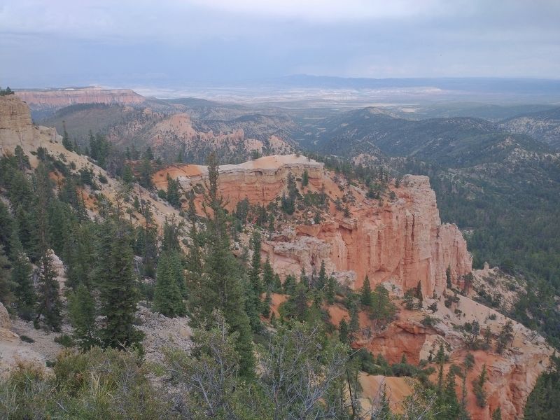
4. View of Bryce Canyon National Park from Marker
Photographed by Tom Bosse, July 25, 2024
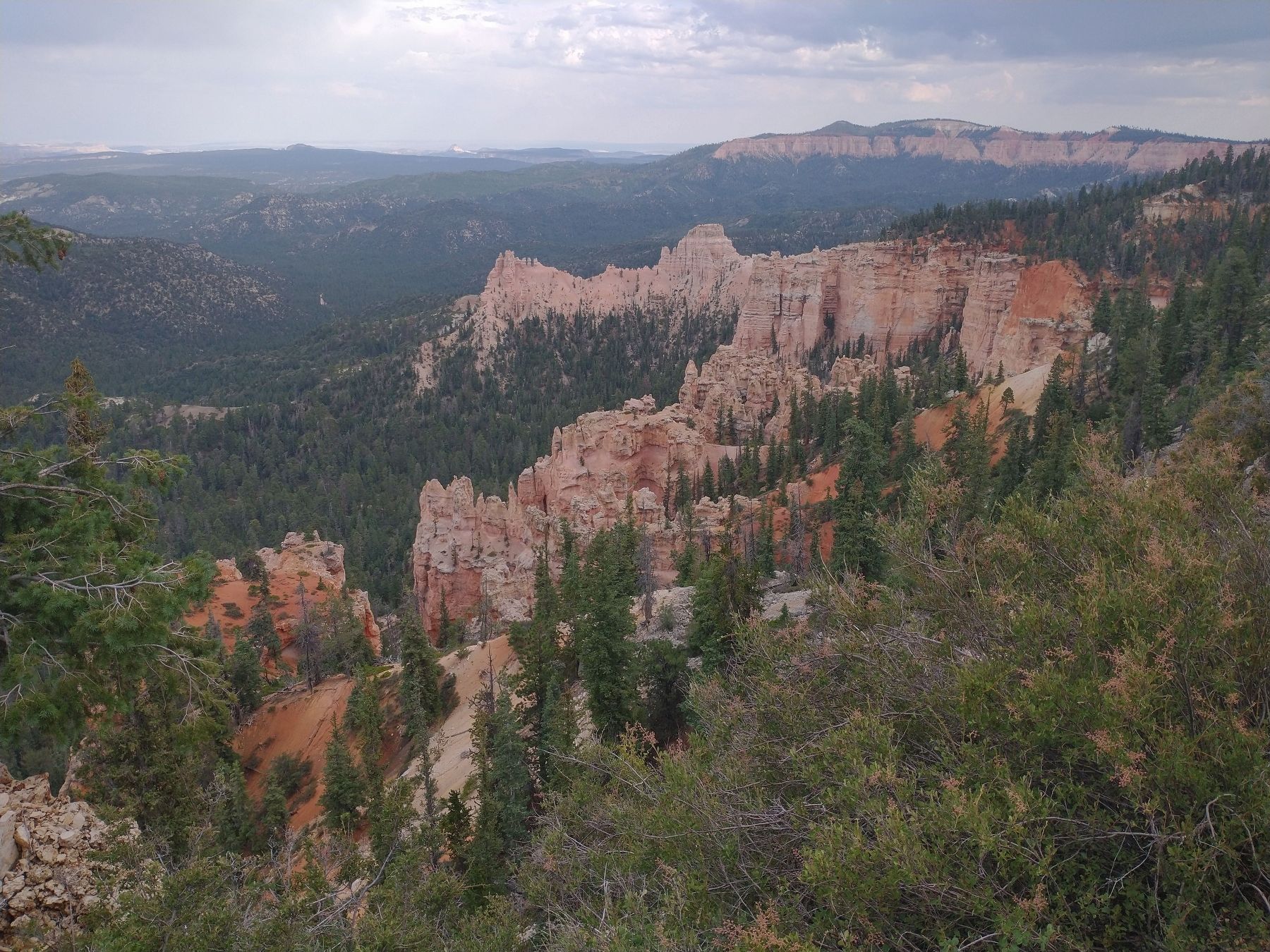
5. View of Bryce Canyon National Park from Marker
Credits. This page was last revised on November 6, 2024. It was originally submitted on October 31, 2024, by Tom Bosse of Jefferson City, Tennessee. This page has been viewed 156 times since then and 17 times this year. Photos: 1, 2, 3, 4, 5. submitted on October 31, 2024, by Tom Bosse of Jefferson City, Tennessee. • Andrew Ruppenstein was the editor who published this page.
