Vincennes in Knox County, Indiana — The American Midwest (Great Lakes)
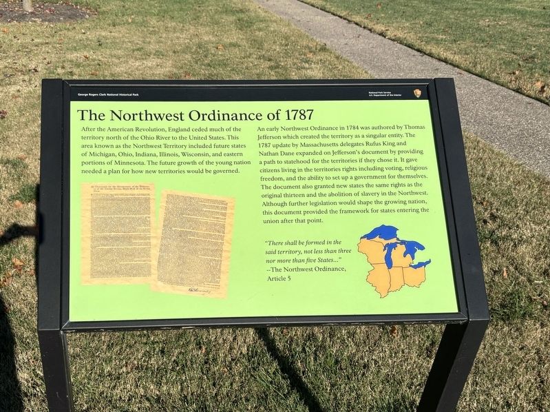
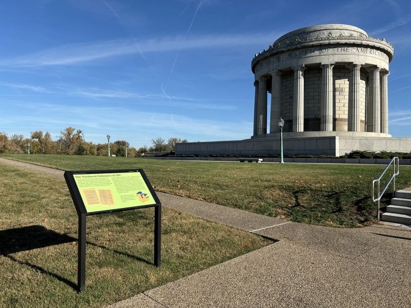
The Northwest Ordinance of 1787
Photographed by Connor Olson, November 2, 2024
1. The Northwest Ordinance of 1787 Marker
An early Northwest Ordinance in 1784 was authored by Thomas Jefferson which created the territory as a singular entity. The 1787 update by Massachusetts delegates Rufus King and Nathan Dane expanded on Jefferson's document by providing a path to statehood for the territories if they chose it. It gave citizens living in the territories rights including voting, religious freedom, and the ability to set up a government for themselves. The document also granted new states the same rights as the original thirteen and the abolition of slavery in the Northwest. Although further legislation would shape the growing nation, this document provided the framework for states entering the union after that point.
"There shall be formed in the said territory, not less than three nor more than five States...
this page online
Erected by National Park Service.
Topics. This historical marker is listed in this topic list: Political Subdivisions. A significant historical year for this entry is 1787.
Location. 38° 40.722′ N, 87° 32.161′ W. Marker is in Vincennes, Indiana, in Knox County. It can be reached from South 2nd Street. Touch for map. Marker is at or near this postal address: 401 S 2nd St, Vincennes IN 47591, United States of America. Touch for directions.

Regionally, this marker is in the Tri-State Region, in Southern Indiana, and in the Wabash Valley. It is also in the American Midwest and in the Corn Belt. Globally, it is in North America, the Western Hemisphere, the Western World, and the Anglosphere. Historically, it finds itself in what was once the Viceroyalty of New France, the territory of the Mississippian Culture, and the Northwest Territory.
Other nearby markers. At least 8 other markers are within walking distance of this marker: Clark after Vincennes (a few steps from this marker); Fort Sackville (within shouting distance of this marker); A Journey Through Flooded Waters (within shouting
Photographed by Connor Olson, November 2, 2024
2. The Northwest Ordinance of 1787 Marker
Another marker is no longer nearby. Fort Sackville in 1779 (was within shouting distance of this marker but has been permanently removed).
Credits. This page was last revised on November 19, 2024. It was originally submitted on November 2, 2024, by Connor Olson of Menomonee Falls, Wisconsin. This page has been viewed 220 times since then and 38 times this year. Photos: 1, 2. submitted on November 2, 2024, by Connor Olson of Menomonee Falls, Wisconsin. • Bill Pfingsten was the editor who published this page.
