Blair in Cambridge in Waterloo Region, Ontario — Central Canada (North America)
Blair Bridge
Photographed by Tim Boyd, October 19, 2024
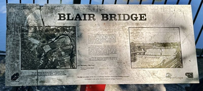
1. Blair Bridge Marker
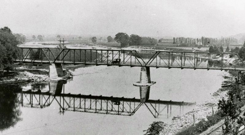
The first bridge to cross the Grand River in this area, was a covered, shingle roofed structure built sometime in the late 1830's. It was this bridge which gave the settlement of Blair one of it's early names, "Shingle Bridge." In 1913, a third bridge, an all steel structure supported by three stone piers and measuring over 500 feet in length was built at this location.
Over the years this bridge deteriorated and was replaced in 1957 by a new bridge which was constructed further upstream at the present Fountain Street location. The following year the old bridge was dismantled, with the centre and east piers eventually being removed at a later date. Stone remnants of the centre pier can still be seen in the river during periods of low flow.
The last remaining abutment was rebuilt in 1993 as an observation point in tribute to an important part of Blair's history.
Erected by City of Cambridge.
Topics. This historical marker is listed in this topic list: Bridges & Viaducts. A significant historical year for this entry is 1913.
Location. 43° 23.049′ N, 80° 23.054′ W. Marker is in Cambridge, Ontario, in Waterloo Region.
this page online

Regionally, this marker is in the Huron-Perth-Waterloo-Wellington Area and in Southwestern Ontario. It is also in Central Canada. Globally, it is in North America, the Western Hemisphere, the Western World, and the Anglosphere. Historically, it finds itself in what was once a British colony, the Viceroyalty of New France, the Haudenosaunee (Iroquois) Confederacy, and Rupert’s Land.
Other nearby markers. At least 8 other markers are within 3 kilometers of this marker, measured as the crow flies: Galt - Berlin Railway (a few steps from this marker); The Founder of Preston (approx. 2.4 kilometers away); Preston Towne Centre (approx. 2.4 kilometers away); Preston Cenotaph (approx. 2.4 kilometers away); Otto Julius Klotz (approx. 2.5 kilometers away); Doon Presbyterian Church (approx. 2.9 kilometers away); Doon School of Fine Arts 1948-1966
Photographed by Tim Boyd, October 19, 2024
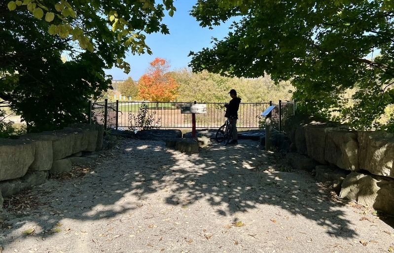
2. Blair Bridge Marker
circa 1915
3. The 1913 Blair Bridge ca 1915
Source: Kitchener Public Library (public domain)
Credits. This page was last revised on November 5, 2024. It was originally submitted on November 4, 2024, by Tim Boyd of Hamilton, Ontario. This page has been viewed 237 times since then and 40 times this year. Photos: 1, 2, 3. submitted on November 4, 2024, by Tim Boyd of Hamilton, Ontario. • Andrew Ruppenstein was the editor who published this page.
